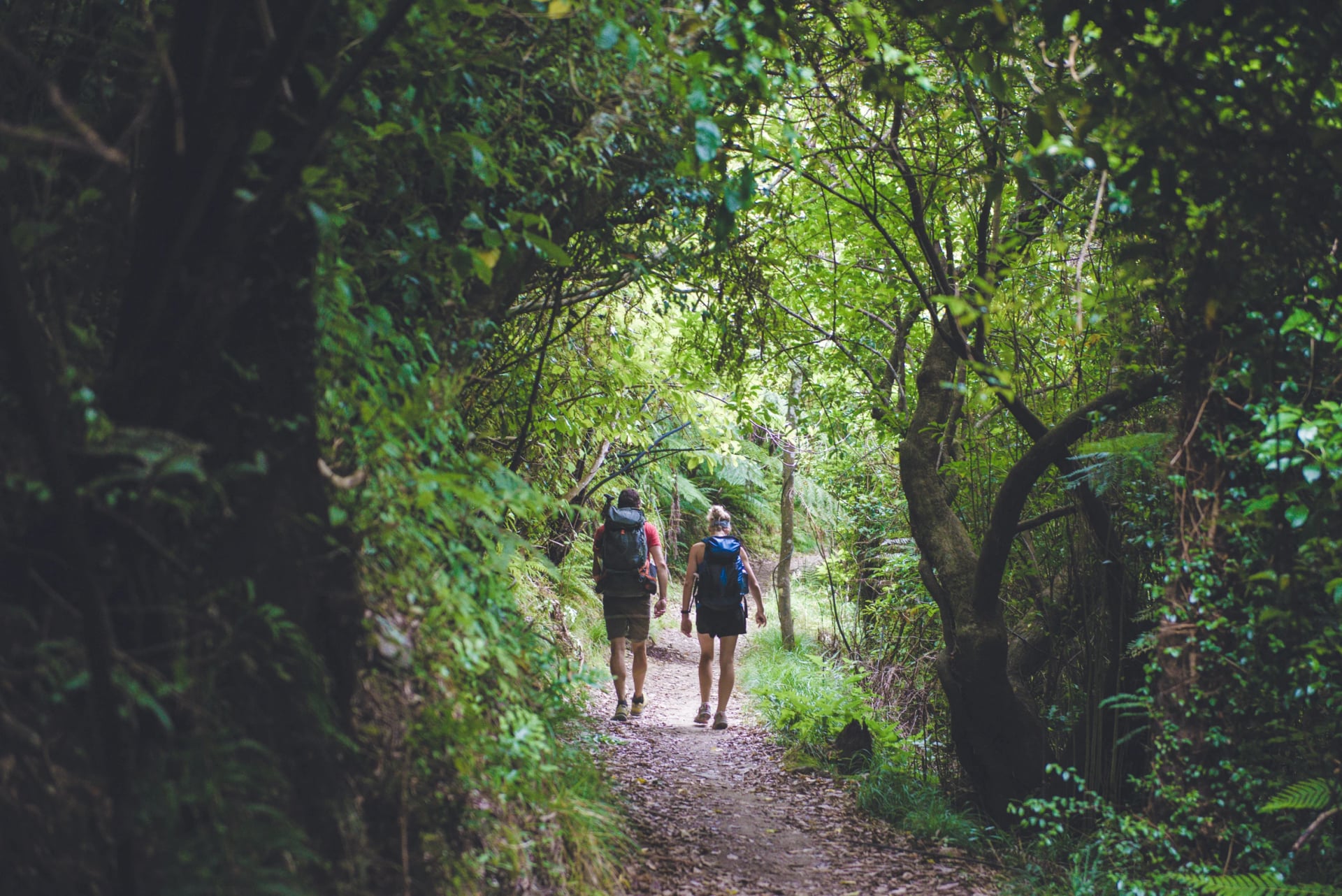
Queen Charlotte Track: Section Breakdown and Accommodation
Ship Cove to Anakiwa section by section: how many days the Queen Charlotte Track takes, lodges and campsites, the boats that can move your bags and the pass.
Quick links
Don't want to read all this?
We've planned 2,000+ hiking trips. Send your dates, fitness and group size — we'll map the route and book every night.



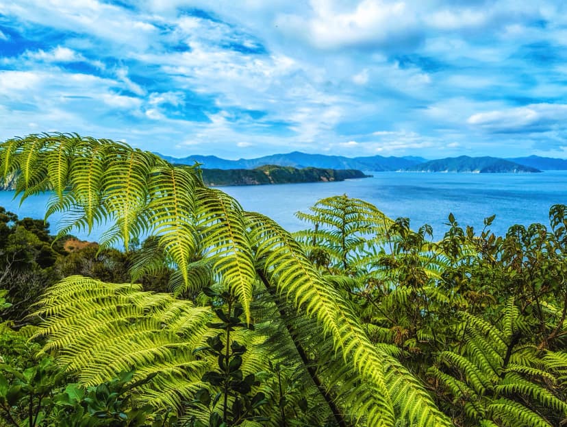
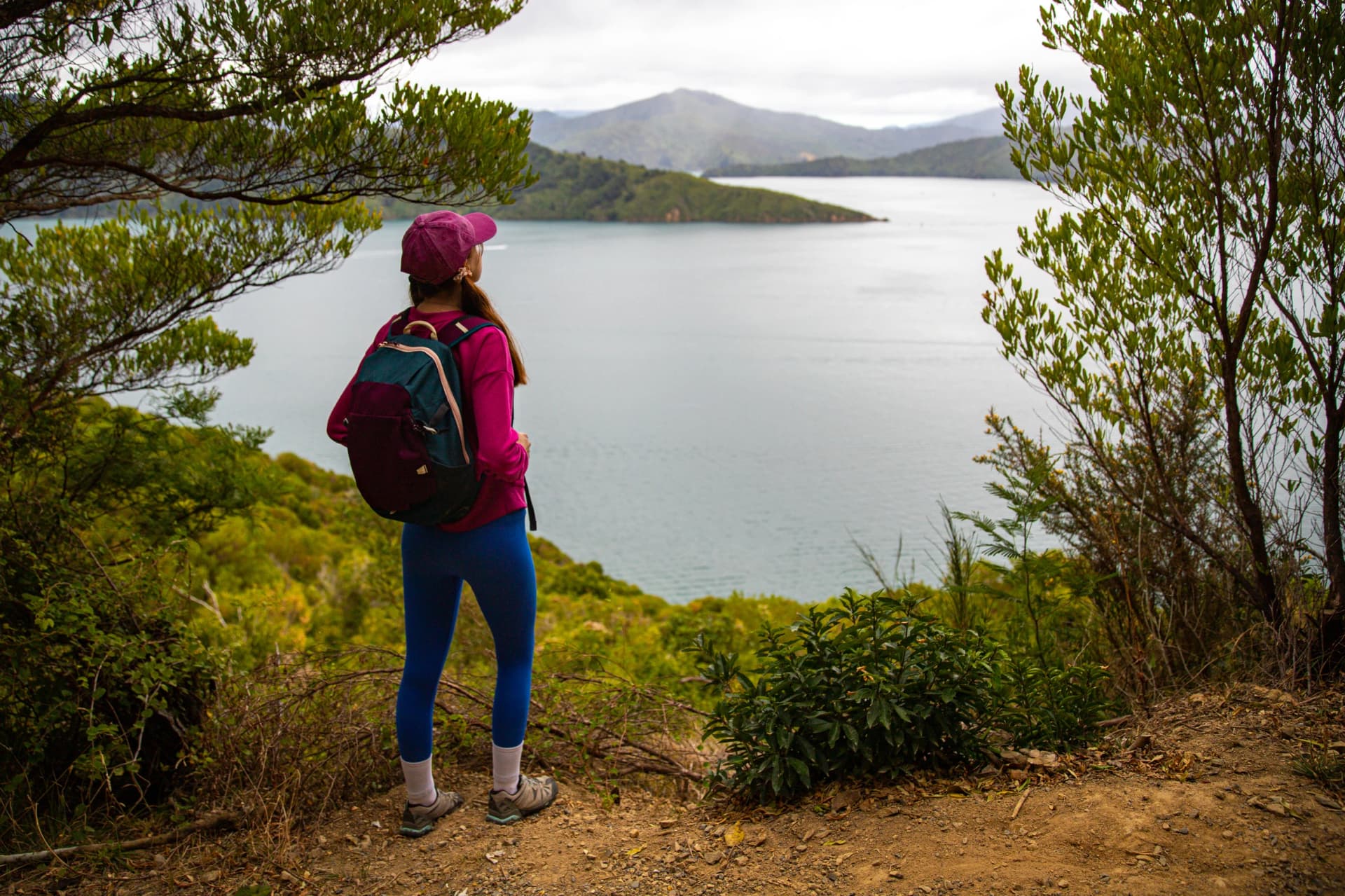
The Queen Charlotte Track, also called the Queen Charlotte Walk, is a 73.5 km walk in New Zealand's Marlborough Sounds, at the top of the South Island. It runs one way from Meretoto/Ship Cove, where no road goes, to Anakiwa at the head of Queen Charlotte Sound, and most walkers take four days. The first half keeps to the bays and inlets, and the second half climbs onto a ridge up to 470 m.
People come for comfort as much as views. A hut and a camp stove are what most long New Zealand tracks ask of you; here a lodge with a restaurant waits on the water, and the boats that work the Sounds call at the jetties in between, so you can leave a stretch out if your legs ask you to.
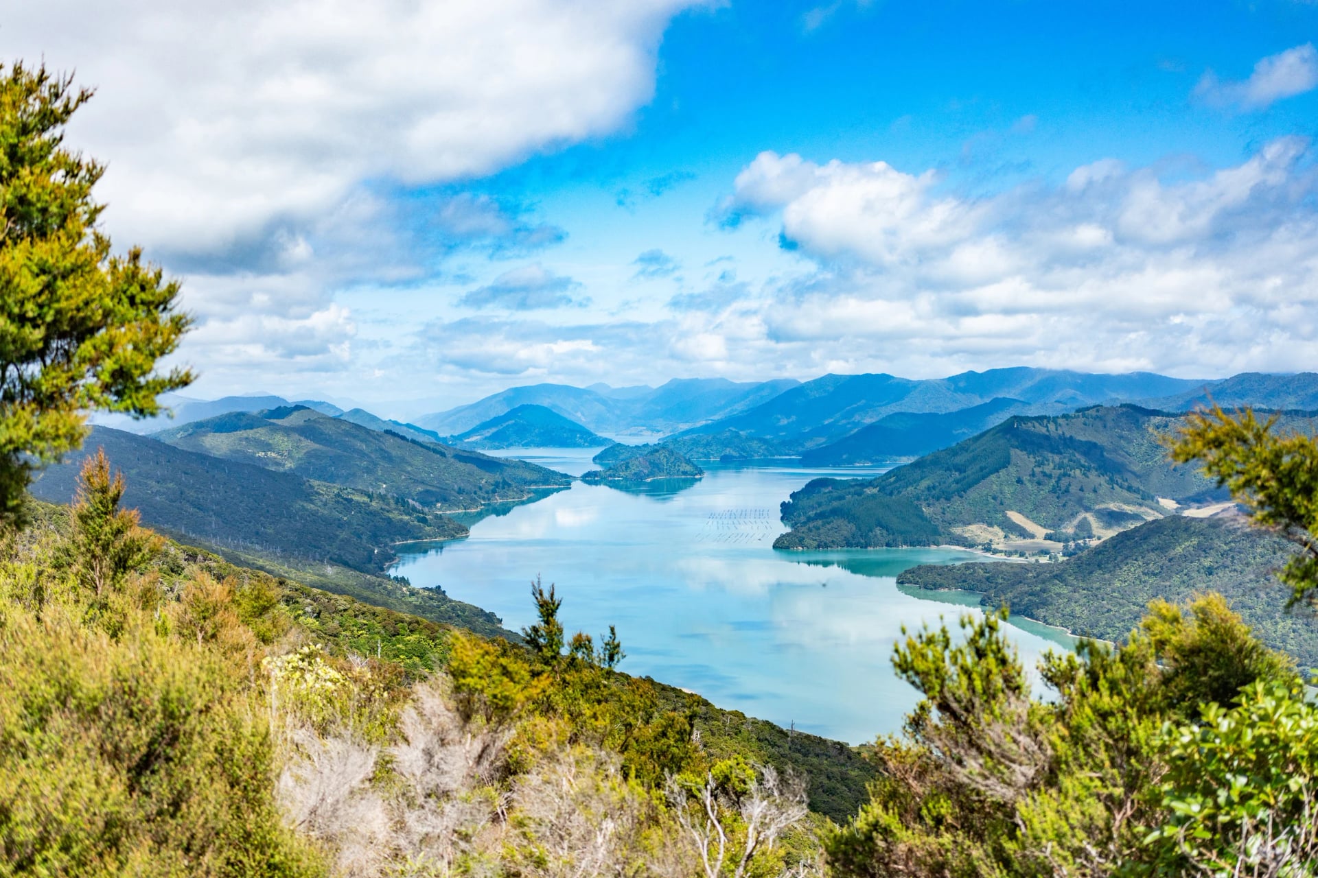
Two things made it famous: Ship Cove, Cook's favourite New Zealand base, and the ridge above two sounds, with salt water in sight on both sides for most of a day. Many New Zealanders assume it is one of the Great Walks. It is not a Great Walk, and the reason explains a good deal about how the track works.
The Track in a Few Facts
Te Araroa walks it too: the 3,000 km national trail from Cape Reinga to Bluff uses the track on its way south.
Bridle paths lie underneath: landowners cleared a rough track along pioneer routes from 1981 and opened it in 1983.
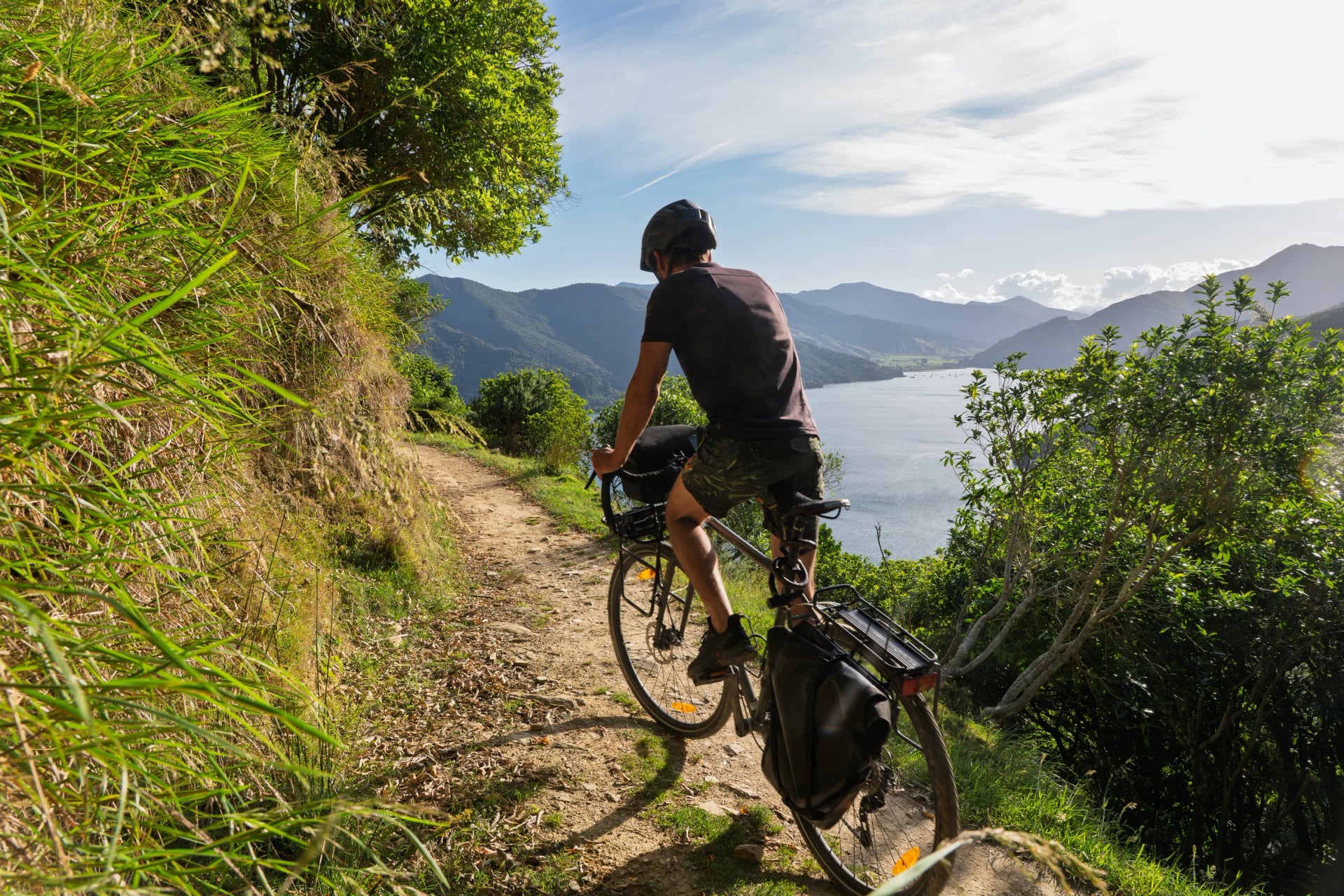
The path is wide: 1 to 1.5 m for most of its length, benched into the hillside, with all major streams bridged.
Bikes share all of it: it is one of New Zealand's Great Rides, and riders take the early boat in summer to stay ahead of walkers.
The shore is public: a foreshore reserve about 20 m wide keeps most bays and beaches in the Sounds open to everyone.
Dogs stay home: only the stretch between Anakiwa and Davies Bay allows one, on a lead and with a permit.
Queen Charlotte Track Map
The Sounds are drowned river valleys, so two bays that look close together can be hours apart on foot and a short hop apart by boat. That is why the map matters more here than on most tracks: where each section starts decides how you split the walk.
See it on the map: plan your nights from the blue pins, the three lodges most walkers sleep at. The five coloured lines are the official sections, the yellow pin is the lookout we would not skip, green marks the start at Ship Cove and orange the finish at Anakiwa.
Read the red line first. The ridge has no jetty between Camp Bay and Torea Bay, about 24 km, so once you leave Punga Cove in the morning you are walking to the other end.
For the ground itself you will not need much, because the track is signposted at every junction and hard to lose. The official track site offers a PDF map with the same sections, if you like paper in your pocket.
Where You Can Start
You do not have to begin at Ship Cove. Boats reach every section start, so each change of colour on the map is a place you can step on or off the track, and you choose how much of it to walk.
Start at | Walk to Anakiwa | What you skip |
Ship Cove | 73.5 km | Nothing, this is the whole track |
Endeavour Inlet | 56.5 km | Ship Cove and the first two climbs |
Camp Bay | 45 km | The bays and inlets, straight to the ridge |
Torea Bay | About 21 km | The long ridge from Camp Bay |
Mistletoe Bay | 12.5 km | All but the bridle paths and beech forest |
Resolution Bay is one more boat stop, inside the first section, and starting there skips the first climb.
How Many Days?
The official answer is three to five, and the choice decides how the distance feels rather than how much you see. One day stays the same in every plan: the 24 km ridge from Camp Bay to Torea Saddle has no boat stop, and short of a tent at one of its two campsites, it is walked in one go.
Days on foot | Nights on the track | What you give up |
Three | Furneaux, Punga Cove | The last 21 km, Torea Saddle to Anakiwa |
Four | Furneaux, Punga Cove, The Portage | Spare time: two long days run back to back |
Five | As four, then Mistletoe Bay | Nothing on the track, but one more bed to find |
Each option below runs day by day, from where and through what, so you can compare them at a glance.
Three Days
Day 1: Ship Cove to Furneaux Lodge, 16 km, via Resolution Bay and over two saddles
Day 2: Furneaux Lodge to Punga Cove, 12.5 km, round the head of Endeavour Inlet and Big Bay
Day 3: Punga Cove to Torea Bay, 24 km, along the ridge past Eatwell's Lookout and Black Rock
Finish: a boat from Torea Bay to Picton, after about 52 km
Best for: Ship Cove and the ridge when the holiday is short
This is what most three-day packages mean, and it is not the whole track. You walk down from Torea Saddle to the jetty and take the afternoon boat, which leaves the last stretch unwalked. Doing all 73.5 km in three days means 24 km every day, and few people who come for the lodges want that.
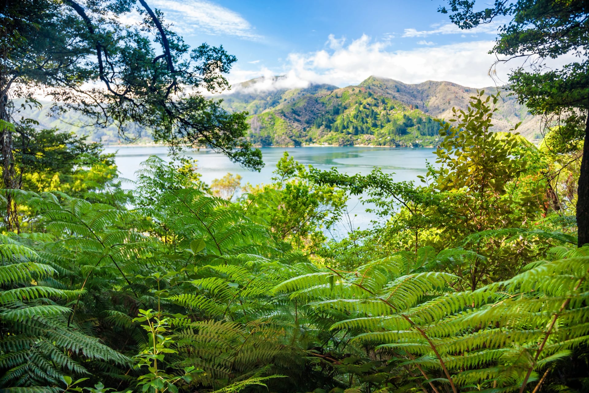
Four Days
Day 1: Ship Cove to Furneaux Lodge, 16 km, via Resolution Bay and over two saddles
Day 2: Furneaux Lodge to Punga Cove, 12.5 km, round the head of Endeavour Inlet and Big Bay
Day 3: Punga Cove to The Portage, 24 km, along the ridge past Eatwell's Lookout and Black Rock
Day 4: The Portage to Anakiwa, 21.5 km, over Te Mahia Saddle and through the beech forest at Davies Bay
Finish: a boat from Anakiwa to Picton, after 73.5 km
Best for: the whole track without extra nights
The classic split, and the one our tour walks after a night in Picton. Day two is your rest, short enough to reach Punga Cove by early afternoon. The catch comes at the end: two long days, 45 km and about 1,500 m of climbing.
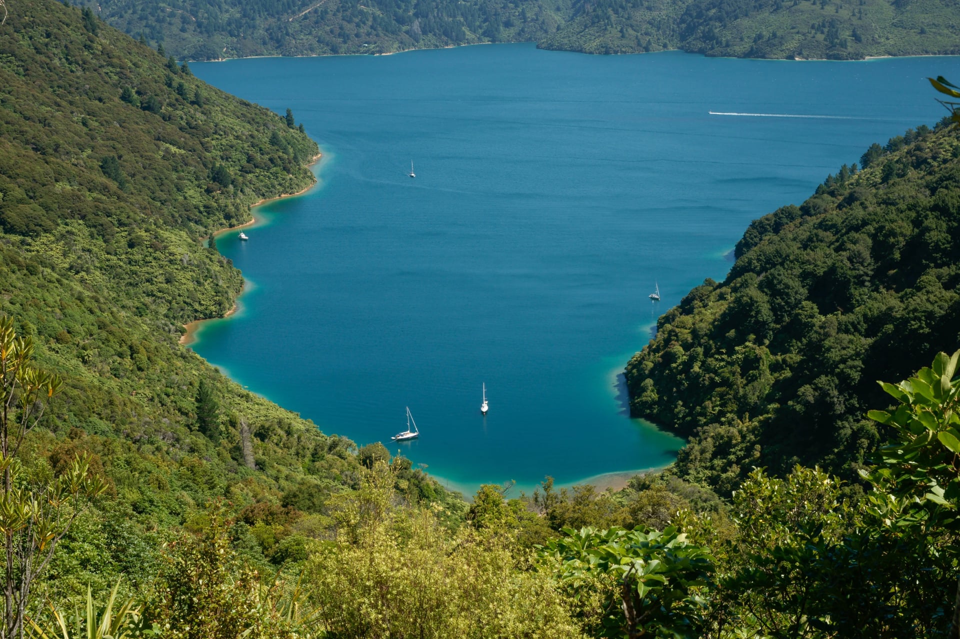
Five Days
Day 1: Ship Cove to Furneaux Lodge, 16 km, via Resolution Bay and over two saddles
Day 2: Furneaux Lodge to Punga Cove, 12.5 km, round the head of Endeavour Inlet and Big Bay
Day 3: Punga Cove to The Portage, 24 km, along the ridge past Eatwell's Lookout and Black Rock
Day 4: The Portage to Mistletoe Bay, 10 km, back up the ridge and past the lookout over Onahau Bay
Day 5: Mistletoe Bay to Anakiwa, 12.5 km, on bridle paths to Davies Bay and through the beech forest
Finish: a boat from Anakiwa to Picton, after 73.5 km
Best for: walkers who would rather not follow the ridge with another 21 km
Splitting the last day leaves the final morning on the easiest ground of the walk. The cabins at Mistletoe Bay sit about 1.2 km below the track, so add that to both days. Another way to use the fifth day is a Portage rest day, before the final stretch.
Queen Charlotte Track Sections
The official track site divides the walk into five sections, listed here in order from Ship Cove to Anakiwa. Each has a different job, and knowing it tells you which day to save your legs for and where a boat can get you out. Distances and walking times are the official figures, which DOC says lean towards a slow walker. The climbs are measured on our own line.
Ship Cove to Endeavour Inlet
The boat puts you ashore at Ship Cove, where Cook's ships spent 170 of their 328 days in New Zealand. It became the country's first historic reserve in 1896, and it deserves an hour before you start: the 1913 monument with its anchor and cannons, the carved pou at the bridge, and a short track to a waterfall, 40 minutes there and back.
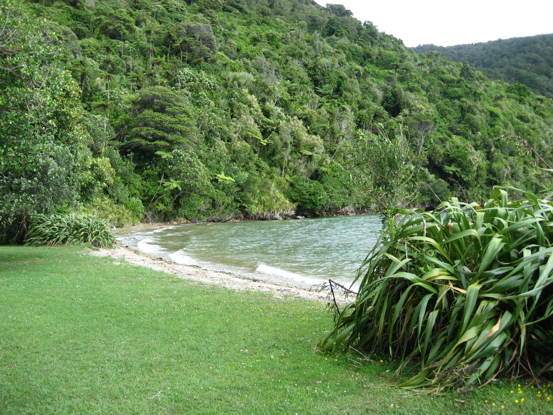
Distance: 17 km
Walking time: 5.5 hours
Climb: about 480 m
Boat stops: Ship Cove, Resolution Bay, Furneaux Lodge
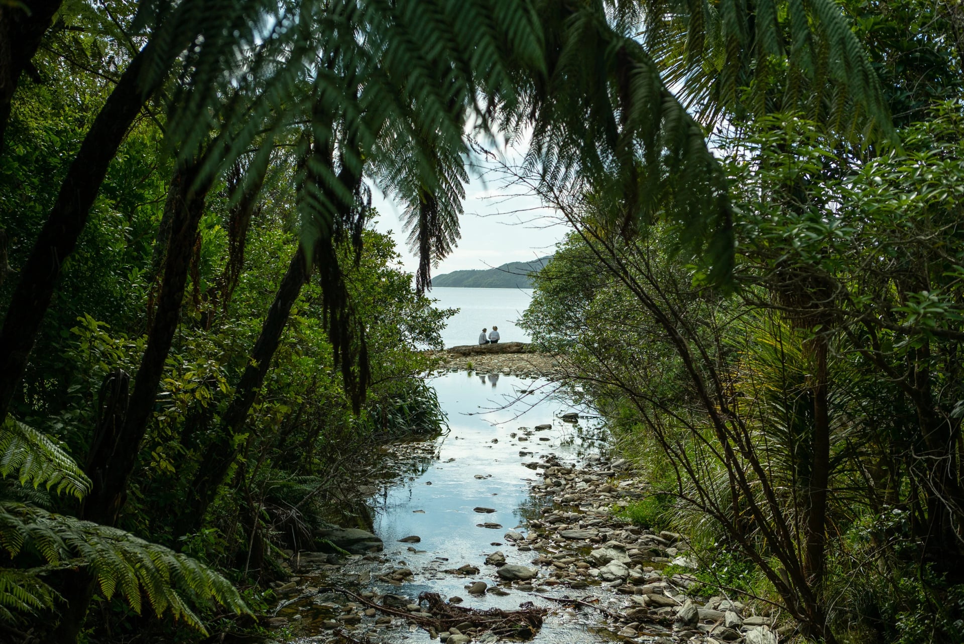
Then the track starts climbing. The path goes straight up into tall forest and reaches a lookout after 50 minutes, on a saddle with both the inner and outer sound below. It drops to Resolution Bay, crosses a second ridge and winds down into Endeavour Inlet, following the shore to Furneaux Lodge near the head of the inlet.
Mostly shaded and well graded, this is the day to find your rhythm, and the two climbs of about 200 m come with long, gentle gradients. Carry your lunch, because nothing is on sale until the lodge.
From Ship Cove, the boat can stop at two islands in the sound, Motuara and Long Island.
Endeavour Inlet to Camp Bay
Think of this as the day off that counts. The path stays near the water through regenerating forest full of small birds, rounds the head of the inlet past old antimony mine panels, and curls around Big Bay to the DOC campsite at Camp Bay.
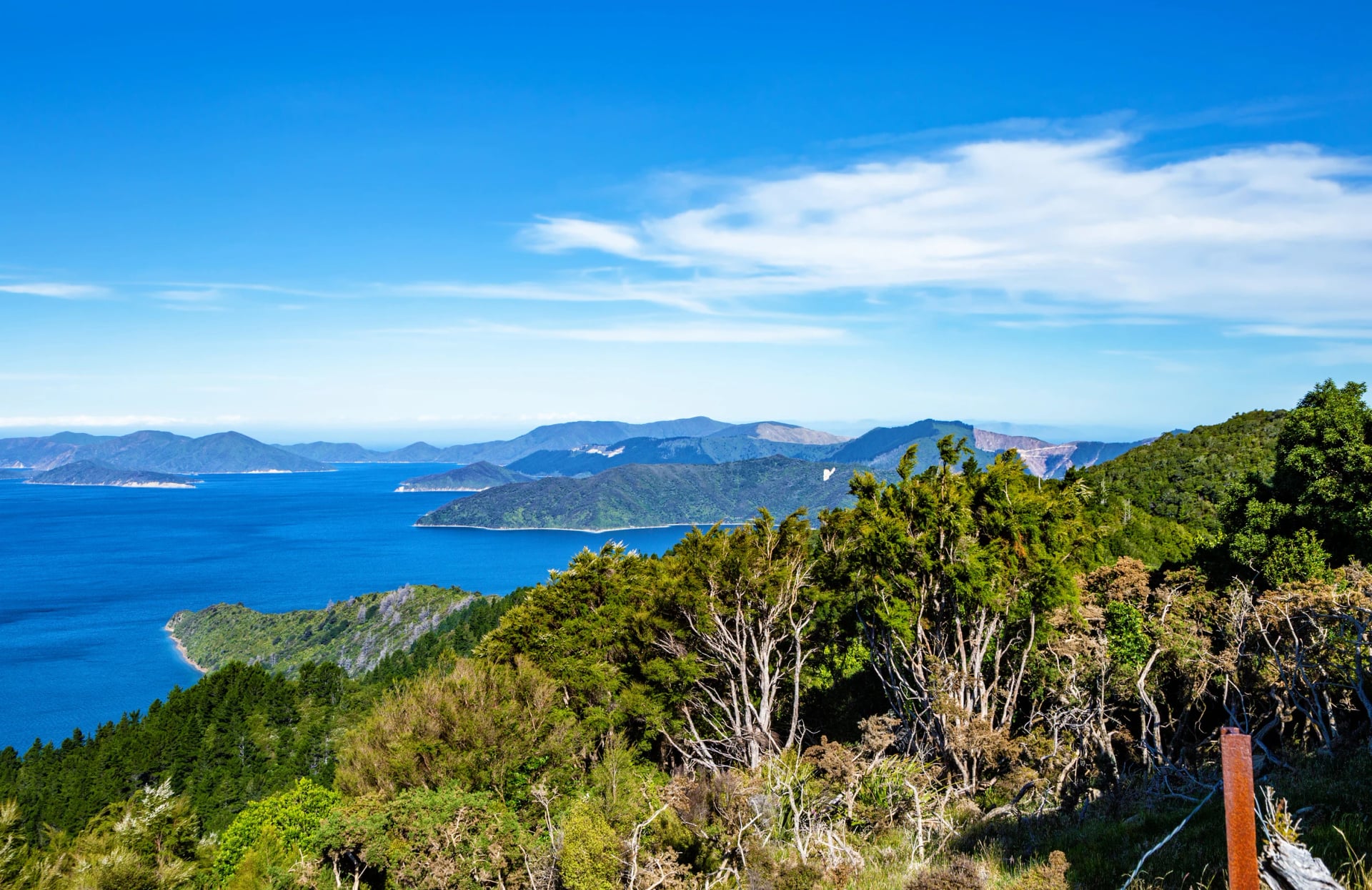
Distance: 11.5 km
Walking time: 4 hours
Climb: about 190 m
Boat stops: Furneaux Lodge, Punga Cove
Punga Cove is a few minutes further along.
Walkers who start after breakfast are usually there by early afternoon. Use the spare hours well, because tomorrow has none: hire a kayak, swim from the jetty, and order your packed lunch before the kitchen closes.
Camp Bay to Torea Saddle
DOC calls this the longest and most arduous section, and it is also the reason to come.
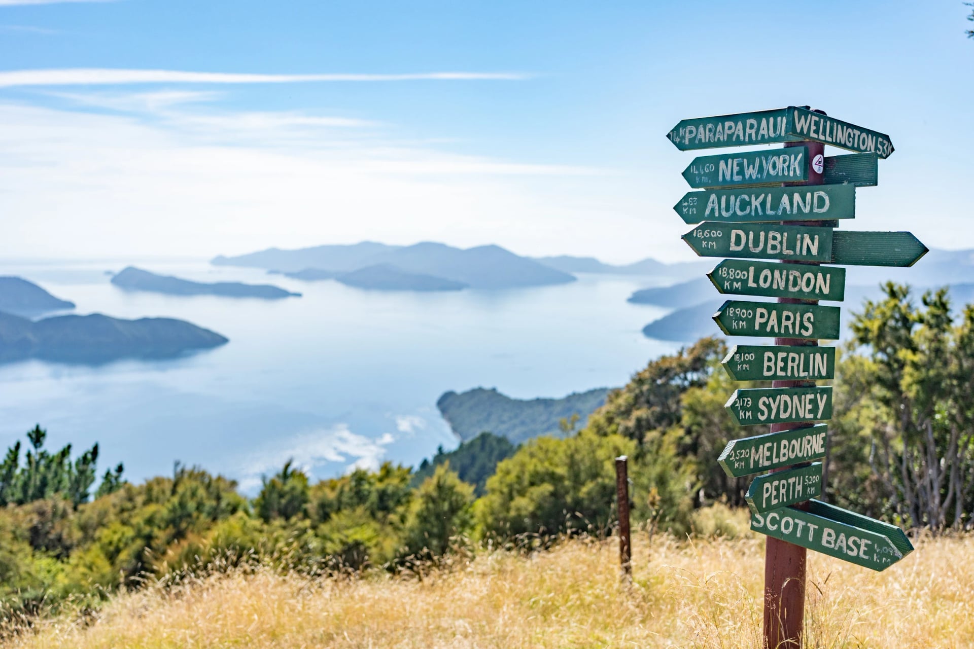
Distance: 24.5 km
Walking time: 8 hours
Climb: about 760 m
Boat stops: none until Torea Bay
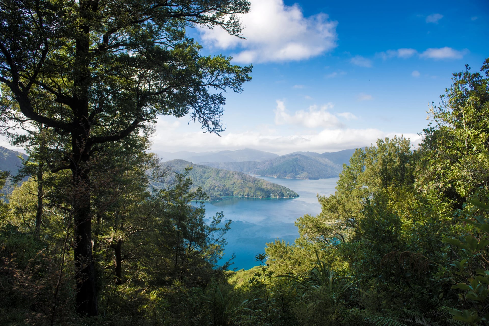
A steep half hour takes you to Kenepuru Saddle, where the private land begins. From there the track rides the ridge with water on both sides, and about 6 km along comes the walk's best view: Eatwell's Lookout, a short, sharp side climb to about 470 m.
Rod Eatwell owned this land, helped cut the track in the 1980s and kept it mown for years at his own cost, so the lookout carries his name.
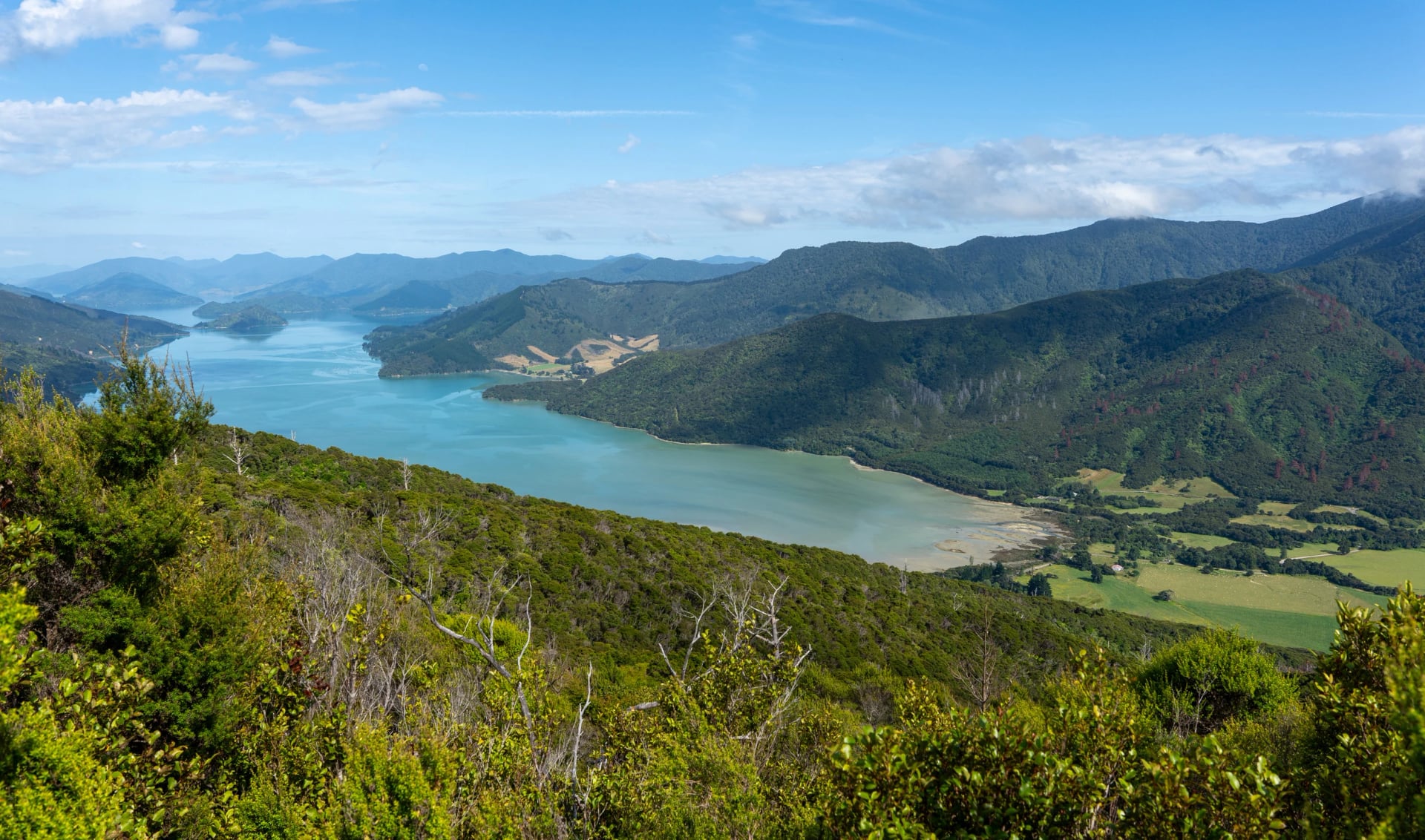
Bay of Many Coves campsite comes after about three hours and Black Rock after six, both with a shelter and rainwater tank. Aim to reach the first by late morning, because from there you still have five hours of ridge ahead. Eventually the track drops to Torea Saddle, where the road crosses. The Portage is 800 m down the Kenepuru side, and the jetty at Torea Bay is about the same distance down the other.
Torea Saddle to Mistletoe Bay
Four hours for 8 km tells you what to expect. This is the section people underrate, straight after the longest one: a stiff climb back up from the saddle, then more ridge through gorse and mānuka on land that was once farmed.
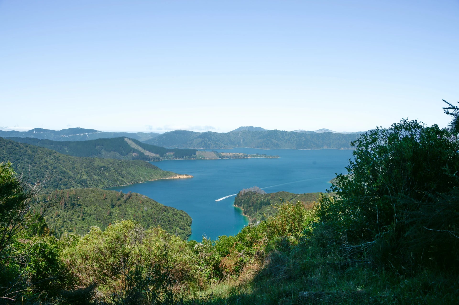
Distance: 8 km
Walking time: 4 hours
Climb: about 500 m
Boat stops: Torea Bay, Mistletoe Bay
Allow more time than the distance suggests.
A side walk just before Te Mahia Saddle leads to a lookout over Onahau Bay and the inner sound. The track then comes down to the saddle and the road above Mistletoe Bay, with cabins and a water-taxi stop in the bay itself, about 15 minutes below.
Just over the saddle from Mistletoe Bay, Te Mahia Bay sits on the other sound.
Mistletoe Bay to Anakiwa
The end is the easy part, and it is a fine way to finish.
Distance: 12.5 km
Walking time: 4 hours
Climb: about 145 m
Boat stops: Mistletoe Bay, Anakiwa
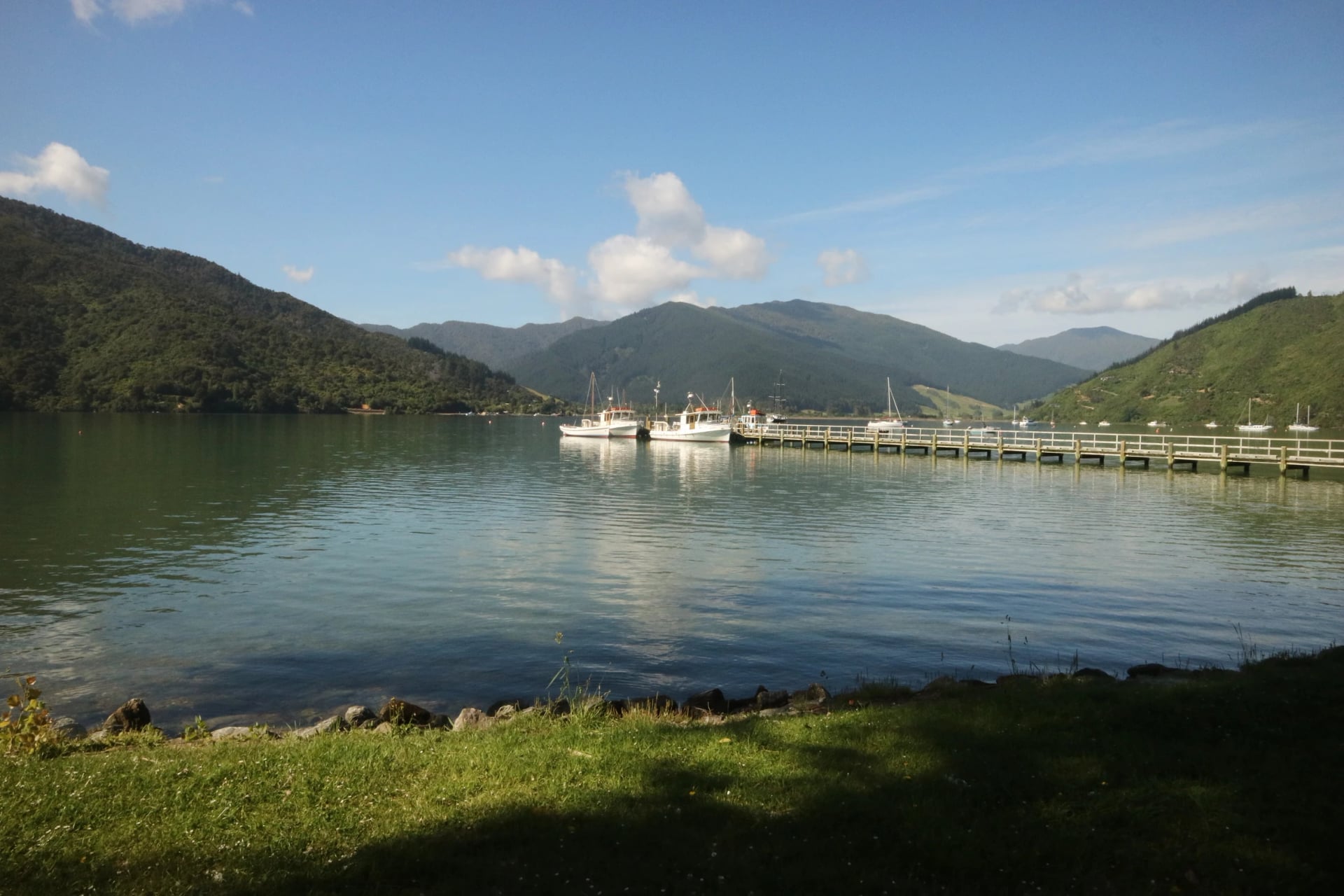
Old bridle paths run high above the water, round an obvious point and descend to the DOC campsite at Davies Bay, also known as Umungata. The final hour is mature beech forest, flat and quiet, and it brings you out at a public jetty opposite the Outward Bound school, which has run its courses at Anakiwa since 1962.
You will find a shelter and toilets at the end, and on-demand buses link Anakiwa with Picton if you would rather not wait for the boat.
How Hard Is It?
This is the first thing most people ask, and the honest answer is that distance tires you, not terrain. The official grade is an easier tramping track, described on the track's own site as long rather than steep, and you will not need your hands anywhere. If you can walk seven hours two days running, you will manage.
Five things catch people out, and all of them are easy to plan for:
Clay after rain: the surface is firm when dry and slippery when wet, so bring boots or trail shoes with real grip.
Water on the ridge: carry enough for the day between Kenepuru and Te Mahia saddles. Campsite tanks run low in dry spells and need treating.
Tight corners: DOC warns of blind bends, steep drops near the edge, fallen trees and fresh slips.
Wasps in late summer: they gather on the beech trees, so pack antihistamine if you react to stings.
Sections under repair: recent work has left parts soft, muddy and narrow, so read DOC's track page in the week you leave.
Why Not a Great Walk?
It is one of the most common questions about the track, and the answer tells you what you will pay for and who you book with. DOC did consider it: in 2018 it shortlisted the Queen Charlotte Track with the Hump Ridge and Te Paki for the next Great Walk. In July 2019 the Minister of Conservation chose the Hump Ridge and ruled this one out, citing "insurmountable challenges" around permanent public access across the whole track.
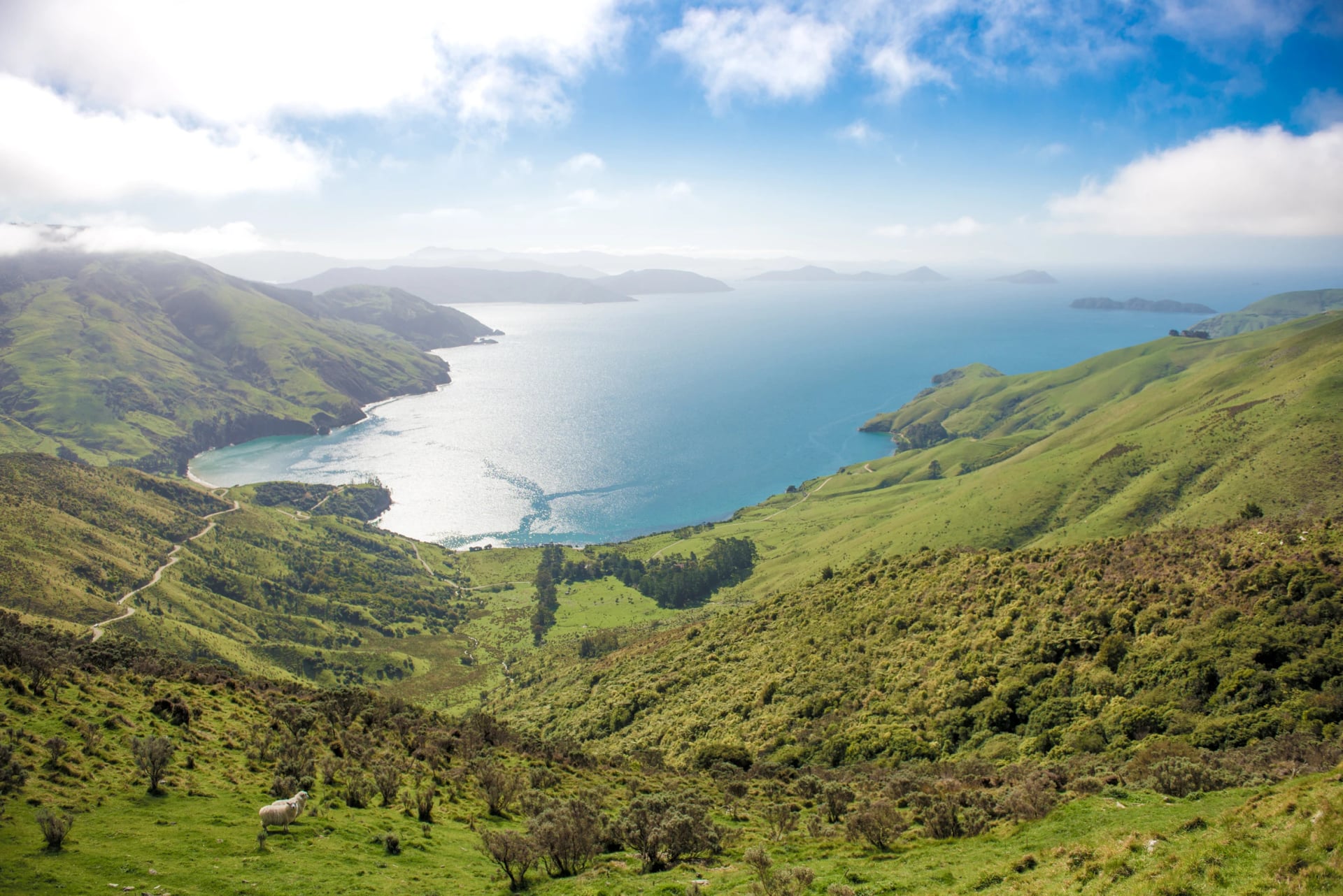
Our reading is that the land is the reason. Most of the track lies on DOC scenic reserves, but large sections cross private land, particularly along the Kenepuru ridges, around Onahau and at Resolution Bay. In practice that means three things:
A pass, no hut booking. The Land Cooperative's pass covers the private stretch between Kenepuru Saddle and Anakiwa, and the fee goes back into the track. It does not cover beds or boats.
No DOC huts at all. Every roof on the track is private, and DOC itself runs only tent sites.
Roads reach the middle. Kenepuru, Torea and Mistletoe saddles can all be reached by car, so the track never feels as remote as a true backcountry walk.
If the badge matters to you, our guide to the Great Walks covers the 11 that carry it.
Lodges Not Huts
Plenty of people search for huts here, and there are none. What you get instead is a run of private stays along the water, which is the whole appeal if you would rather not sleep in a bunk room. Each one books separately, so choose the kind of night before you choose the dates.
Most walkers mix the first and last of these four:
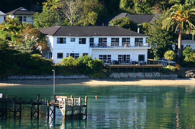
Three lodges carry most walkers. Furneaux Lodge spreads across a lawn in Endeavour Inlet, around the Howden family's old homestead. Punga Cove climbs the hillside above Camp Bay with a restaurant near the top. The Portage faces Kenepuru Sound below Torea Saddle.
All three have a restaurant and a bar and can make you a packed lunch. Rooms run from suites down to basic rooms and hikers' cabins, so ask for what you actually want.
Lochmara Lodge, Te Mahia Bay Resort and Bay of Many Coves Resort sit in bays off the main line. You reach them by boat or by a private side track, which can be narrow, steep and slippery when wet.
They suit a rest day and feel quieter than the stage-end lodges, but they add distance to your walk, so count the extra kilometres before you book.
Simpler beds are scattered along the way. Mistletoe Bay has eight cabins and a cottage run by a trust, Furneaux and Punga Cove keep basic rooms, and hostels sit near the inlet and at Anakiwa.
You often cook for yourself or eat at the nearest lodge, so check what the kitchen offers. Some close for winter, and Mistletoe Bay has shut from June to September.
The first boat sails at about 8:00, so most walkers sleep in Picton before the track and often after it. Hotels, motels and B&Bs line the foreshore and the marina, a short walk from the wharf.
Use the evening for the last errands. Buy lunch for the first day, since Furneaux Lodge is the first place to sell you anything, and leave spare luggage in storage in town.
Camping is the other way to do it. DOC runs six sites, Schoolhouse Bay, Camp Bay, Bay of Many Coves, Black Rock, Cowshed Bay and Umungata, and each needs booking all year.
The two ridge sites hold only four to six tents, none has cooking gear, and the water needs treating. Tent, stove and four days of food also make a heavy pack, on a track where the restaurants are the point. Our tour stays under a roof for all four nights, in private rooms with breakfast included.
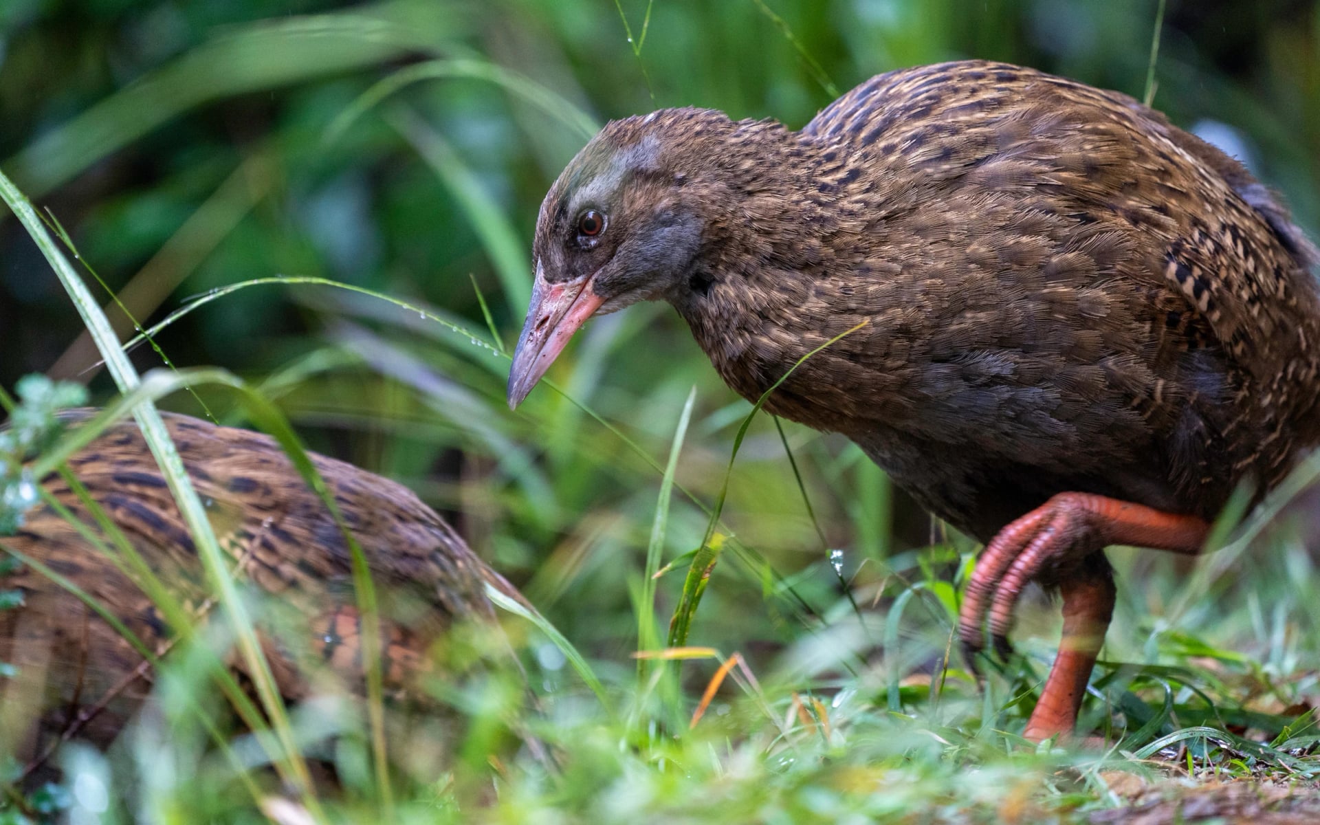
How the Boats Work
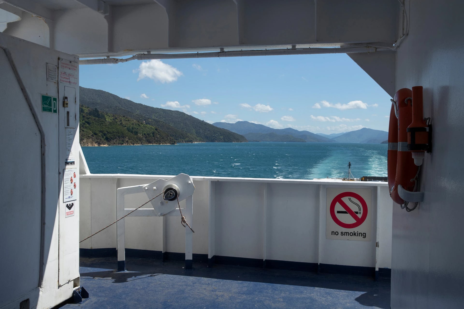
There is no road to Ship Cove, so your first step on the track is off a boat, and the same boats can move your bag and lift you off a bad day. It is a simple system with several moving parts. In order:
Reach Picton the day before. The Cook Strait ferry from Wellington takes about 3.5 hours, flights from Wellington about 25 minutes, and Blenheim airport is 30 minutes away by road.
Take a morning boat. Two companies leave the Picton wharf at about 8:00 and 9:30 for the 90-minute run to Ship Cove. Check in 30 minutes before, and expect fewer sailings from May to September.
Decide about your bag. Boats will carry a pack from jetty to jetty, which only works if you walk from Ship Cove towards Anakiwa. Keep it to one piece and about 15 kg, with their label attached and nothing valuable inside. On our tour this is an optional extra.
Tell them each night's stop. Bags go where your booking says. For The Portage they land at the Torea Bay wharf, where the lodge's staff collect them.
Buy the land pass separately. The boat ticket does not include it.
Line up the pick-up. Boats collect at about 16:00 from Anakiwa and 16:30 from Torea Bay, and you are back in Picton by about 17:00.
Picton is worth an evening. Walk the foreshore, buy your first day's lunch and book a table early, since the first boat leaves soon after breakfast. If your legs are stiff from the journey, the track up the headland next to the harbour shows you the sound before you are out on it, and it takes about as long as an evening stroll should. The town also has the last supermarket and cash machine before the track, so top up there.
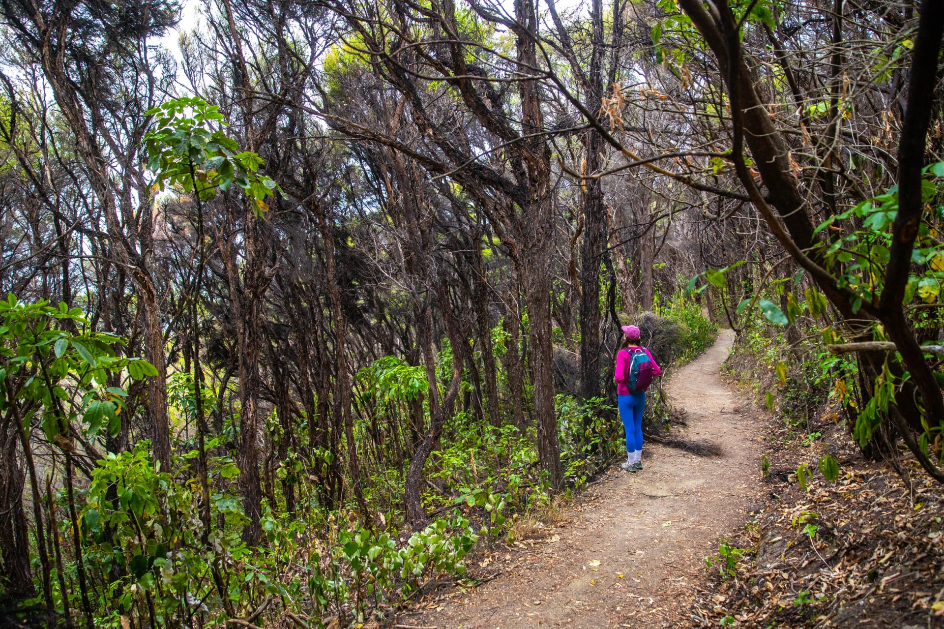
That is ferry, two boats, a pass, a bag label and a packed lunch from each lodge, all before your first step. Prefer it booked? We work directly with the lodges and the boat companies, so on our tour the rooms, boats and pass are in place before you land, and a support number is in your guidebook if a sailing changes. Talk it through with an agent, who will tell you honestly whether your dates can work and what to change if they cannot.
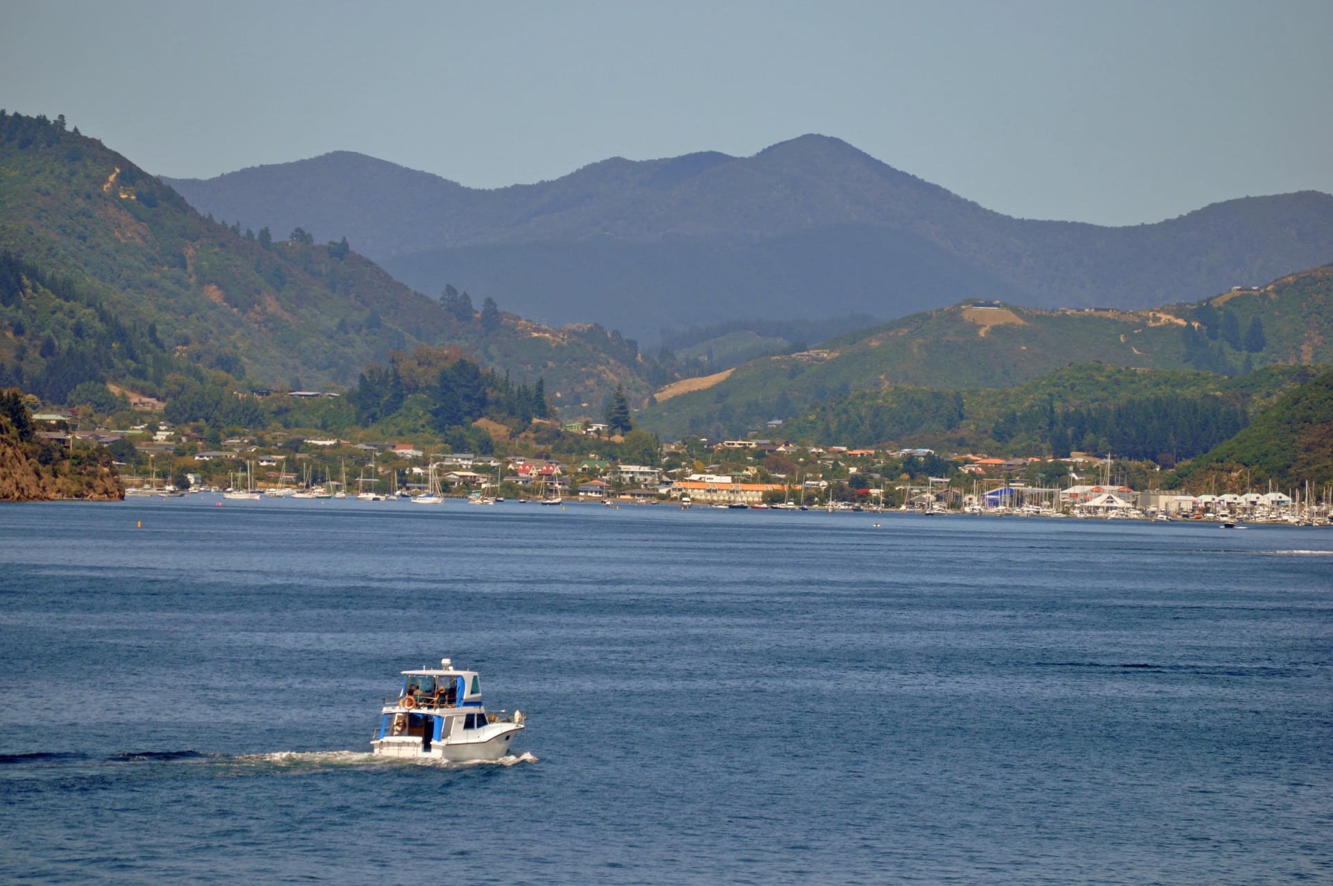
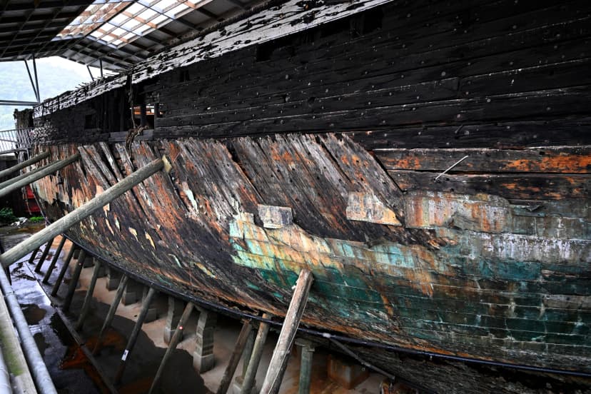
Before the first boat, the Edwin Fox on the Picton foreshore is worth an hour.
When to Go
The track is open all year, but the lodges and boats are not, so a season is really a choice of beds. Marlborough is also one of New Zealand's sunniest regions: Blenheim's 2,475 sunshine hours a year top every town and city in the country. Here are the normals, from NIWA's Marlborough climate report:
Season | Daytime high, Blenheim | Rain, Picton |
December to February | 22 to 24°C | 250 mm |
March to May | 16 to 22°C | 317 mm |
June to August | 13 to 14°C | 503 mm |
September to November | 16 to 20°C | 394 mm |
Blenheim is the nearest station with published temperature normals, and it sits inland, so take a degree or two off. NIWA puts summer afternoons in the Sounds at 16 to 21°C. Picton gets twice Blenheim's rain, and it falls hardest in winter.
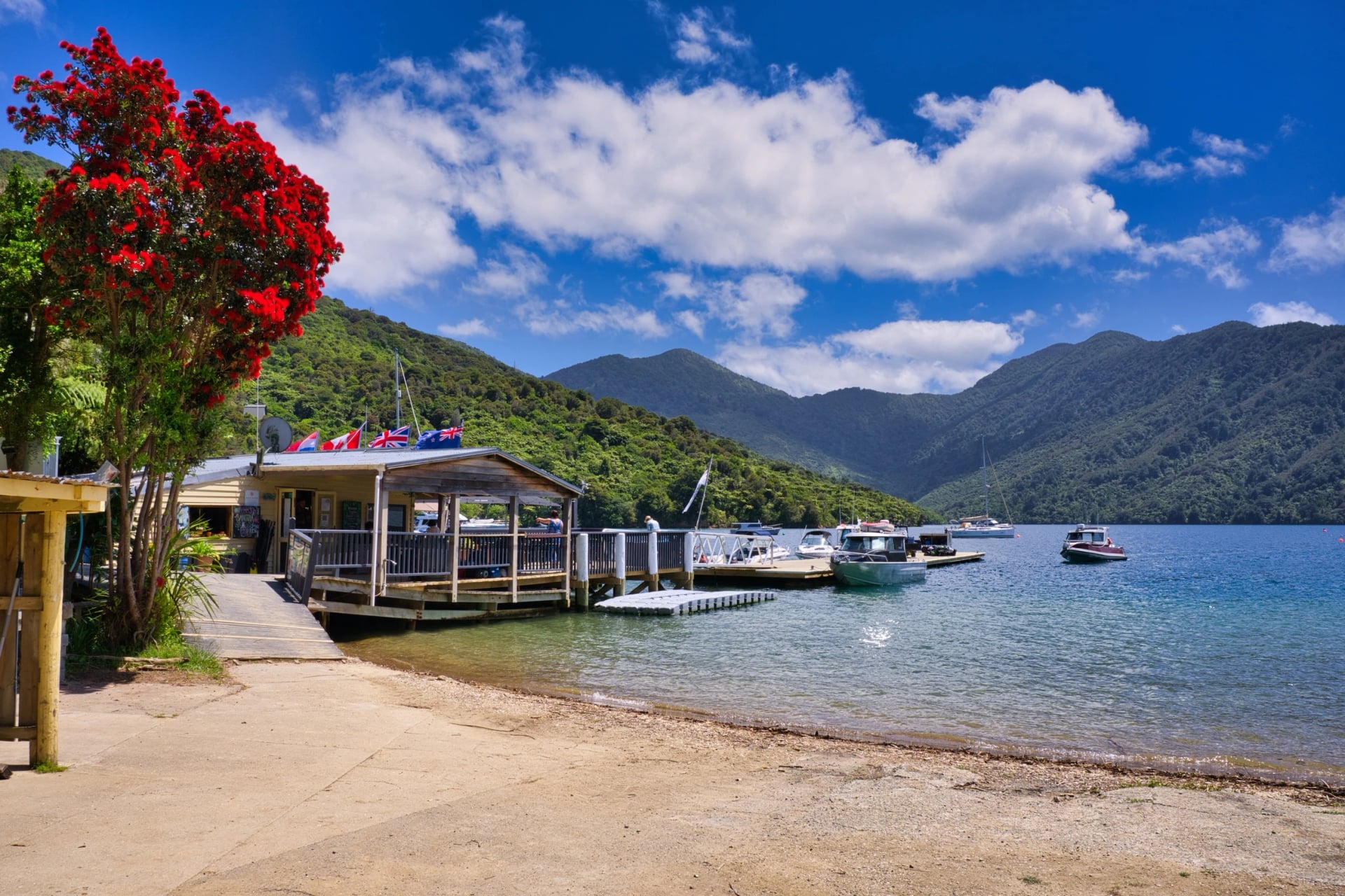
How the year breaks down for a walker:
Late October to December: quieter, with native plants in flower. Both inlet lodges reopen for the season, so check the exact date first.
Christmas and January: long, warm days and New Zealand's own holidays, so the lodges fill with families.
February: the driest month at Picton, at 65 mm, and the first dates to sell out.
March and April: warm, calm days and cool evenings, with fewer people on the track and wasps still about.
May to September: Furneaux Lodge and Punga Cove close, boats run less often and the clay stays wet. July is the wettest month, with 207 mm at Picton.
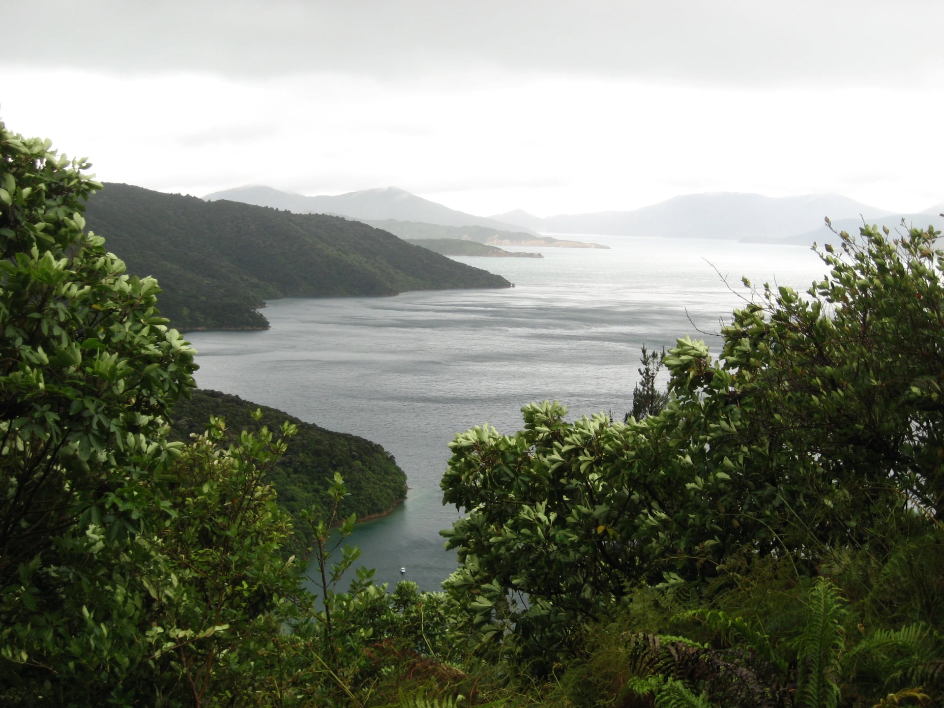
Given a free choice, we would walk in March. The lodges are open, the summer holidays are over and February's rush has passed, though the wasps are out, so pack for them. Book as early as you would for February, because the same rooms go to the same regulars.
Weighing this against other tracks? See the best time to hike in New Zealand, track by track and month by month.
February Goes First
The hard thing to book here is not the boat or the pass. It is three lodge nights running, because Furneaux Lodge and Punga Cove are each the only lodge at their stage end and nobody holds rooms in them. For 16 February 2027, both were full by 5 October 2026. Send us your dates and an agent will check all three before anything is confirmed.
Those three nights are what we handle. Our tour puts the rooms, boats and land pass into one booking, with the route on your phone and a support number if a boat or a plan changes. Want a second coast? We also pair this track with the Abel Tasman in one longer trip. See the tour:
Frequently Asked Questions



Plan with a hiking expert
Free advice from a team that knows these routes inside out - real people, not a bot

HASSLE-FREE
We handle itineraries, accommodations, and anything else you prefer not to deal with, so you can enjoy a carefree hike.

BOOK WITH CONFIDENCE
We are a financially protected company, fully bonded and insured, keeping your money safe and allowing you to travel with confidence.

TRIED & TESTED ADVENTURES
We picked each walk only after checking it stage by stage, from the boat timetables to the lodge at each stop.

SUPPORT ON THE TRACK
Our support number is in the guidebook we give you, for a missed boat or a change of plan. In an emergency, dial 111, free from any phone.