Abel Tasman Coast Track: Which Section to Walk
Walk the Abel Tasman Coast Track one bay at a time: the 60 km Great Walk split into sections by water taxi, with a track map and the boat for each walk.
Quick links
Don't want to read all this?
We've planned 2,000+ hiking trips. Send your dates, fitness and group size — we'll map the route and book every night.



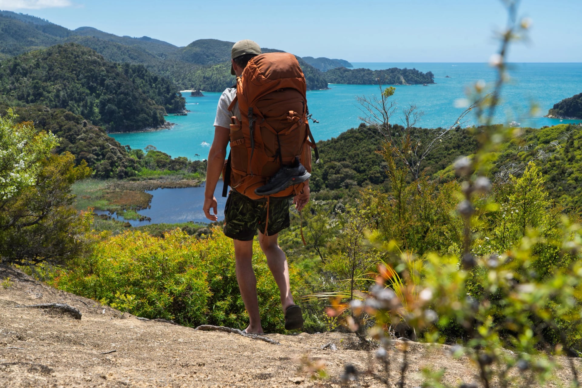
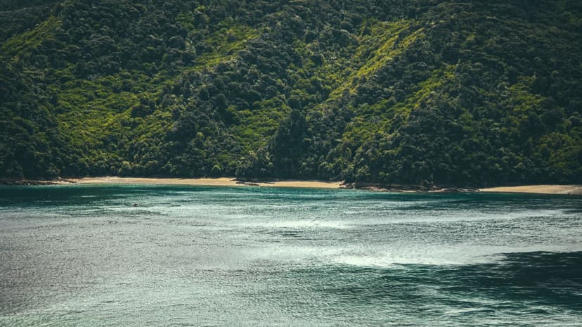
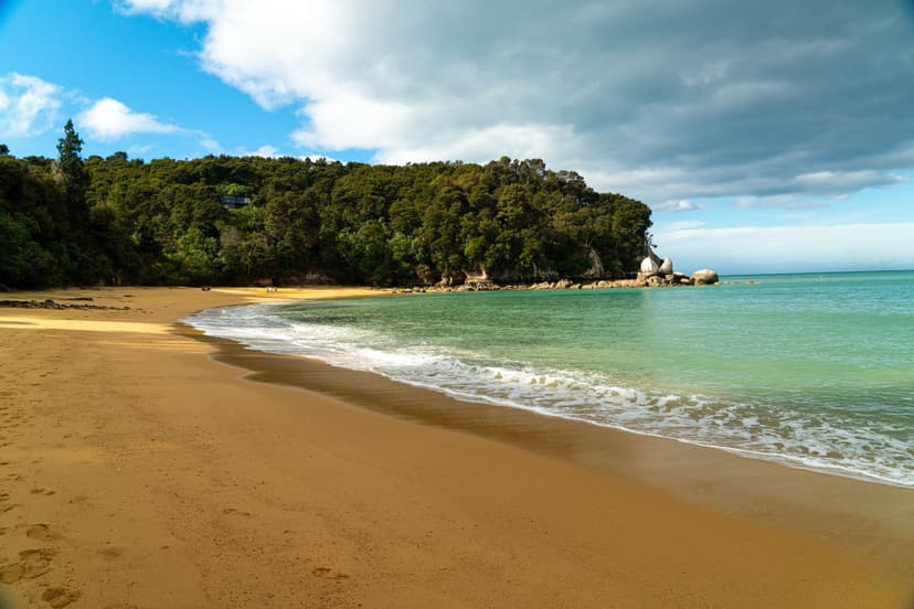
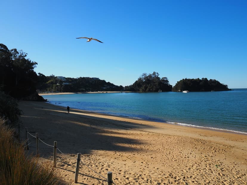
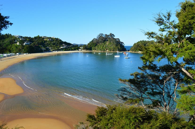
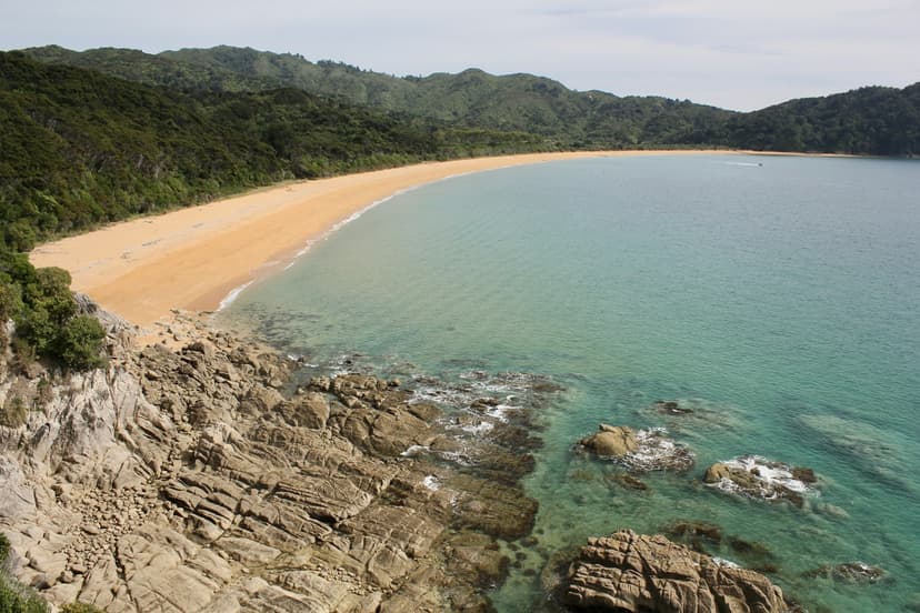
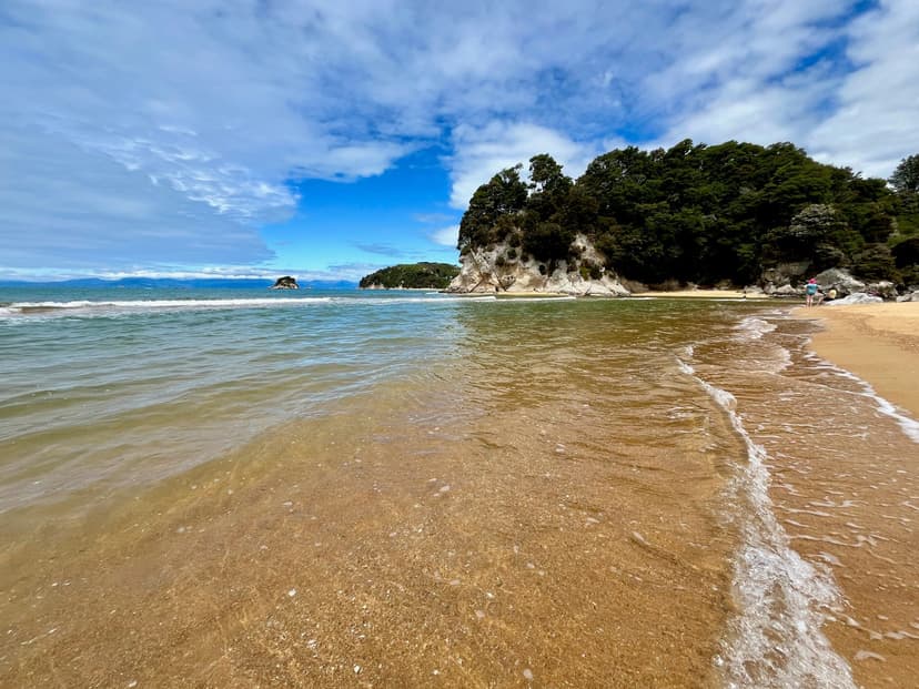
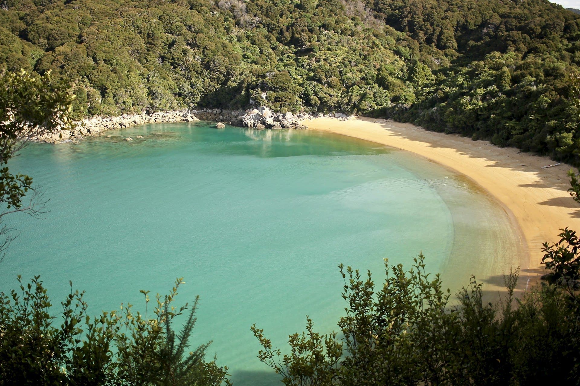
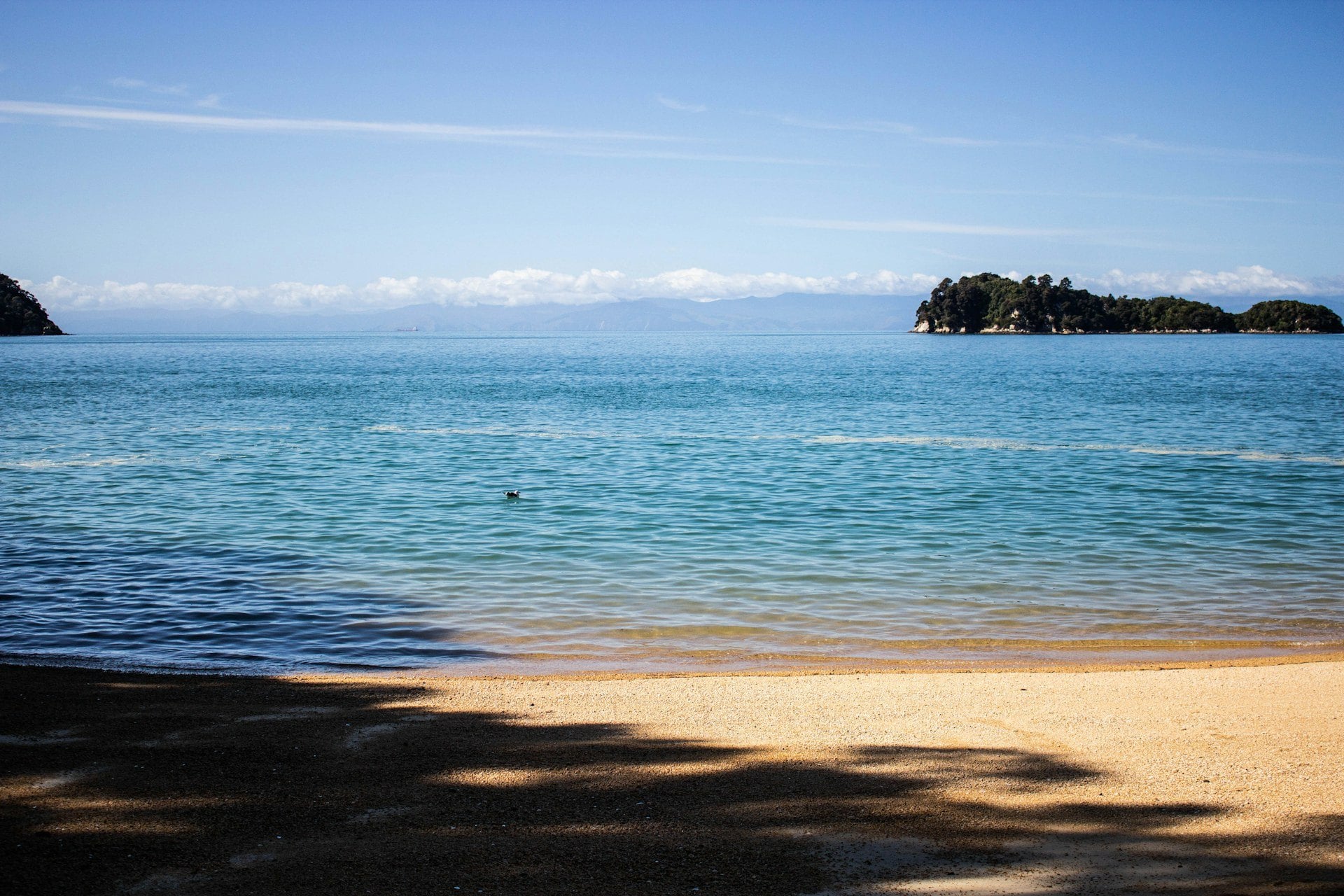
The Abel Tasman Coast Track is the walking track along the seaward edge of Abel Tasman National Park, at the top of New Zealand's South Island, from the village of Mārahau in the south to the Wainui car park in the north. It is one of the Department of Conservation's Great Walks, and the whole track takes three to five days, with a hut or a campsite at the end of each one. The beach where each day ends is the colour of a biscuit, the water over the sand is green, and the forest comes down to the high-tide line.
People walk it for the beaches and the sea, which is warm enough to swim in from December to April, and because the track never gets hard: there is no pass and no scree, only short climbs over the headlands between one bay and the next.
What made it famous is the boat. It is the only Great Walk you can reach by water taxi, so you can be dropped at a beach, walk one section and be picked up at the next.
One thing shapes the longer walk more than the weather: Awaroa Inlet is crossed only around low tide, so you pick the days first, read the tide table, and plan the sections around it. How the track compares with the country's other walks is in our guide to hiking in New Zealand.
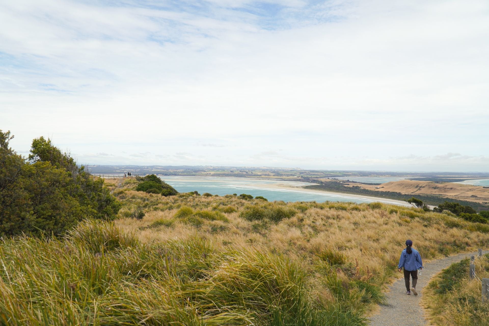
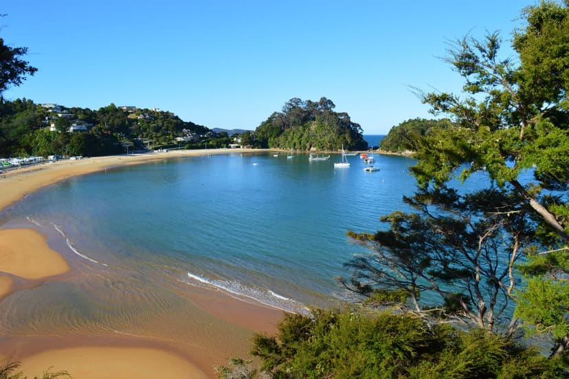
Abel Tasman National Park sits at the top of the South Island, between Tasman Bay and Golden Bay, about an hour and a quarter by road from Nelson, and at 22,530 hectares it is the smallest national park in the country. It is long and thin with no road along the coast, so everything moves by boat or on foot, from the gateway villages of Mārahau and Kaiteriteri in the south to Tōtaranui, the only road end in the north.
The Coast Track in a few facts
Length and direction: 60 km one way between Mārahau and Wainui, walked in either direction; most people start in the south, where the boats are
Grade: an intermediate tramping track on the Department of Conservation's scale, well marked and signposted, with some steep, rough or muddy stretches
Beds: four huts, at Anchorage, Bark Bay, Awaroa and Whariwharangi Bay, and eighteen campsites, with a limit of two nights at any one of them from October to April
Water taxis: scheduled stops at eight beaches between Mārahau or Kaiteriteri and Tōtaranui, at Apple Tree Bay, Anchorage, Medlands Beach, Bark Bay, Tonga Quarry, Onetahuti, Awaroa and Tōtaranui itself; no boat runs further north
The tide: one compulsory crossing, at Awaroa Inlet, where there is no track around the water, and two optional shortcuts across the Torrent Bay and Bark Bay estuaries, each with an all-tide track
Fees and rules: walking the track and entering the park are free, and you pay per night for a hut or a campsite; no dogs, no drones without a permit, and no bikes on the Coast Track itself
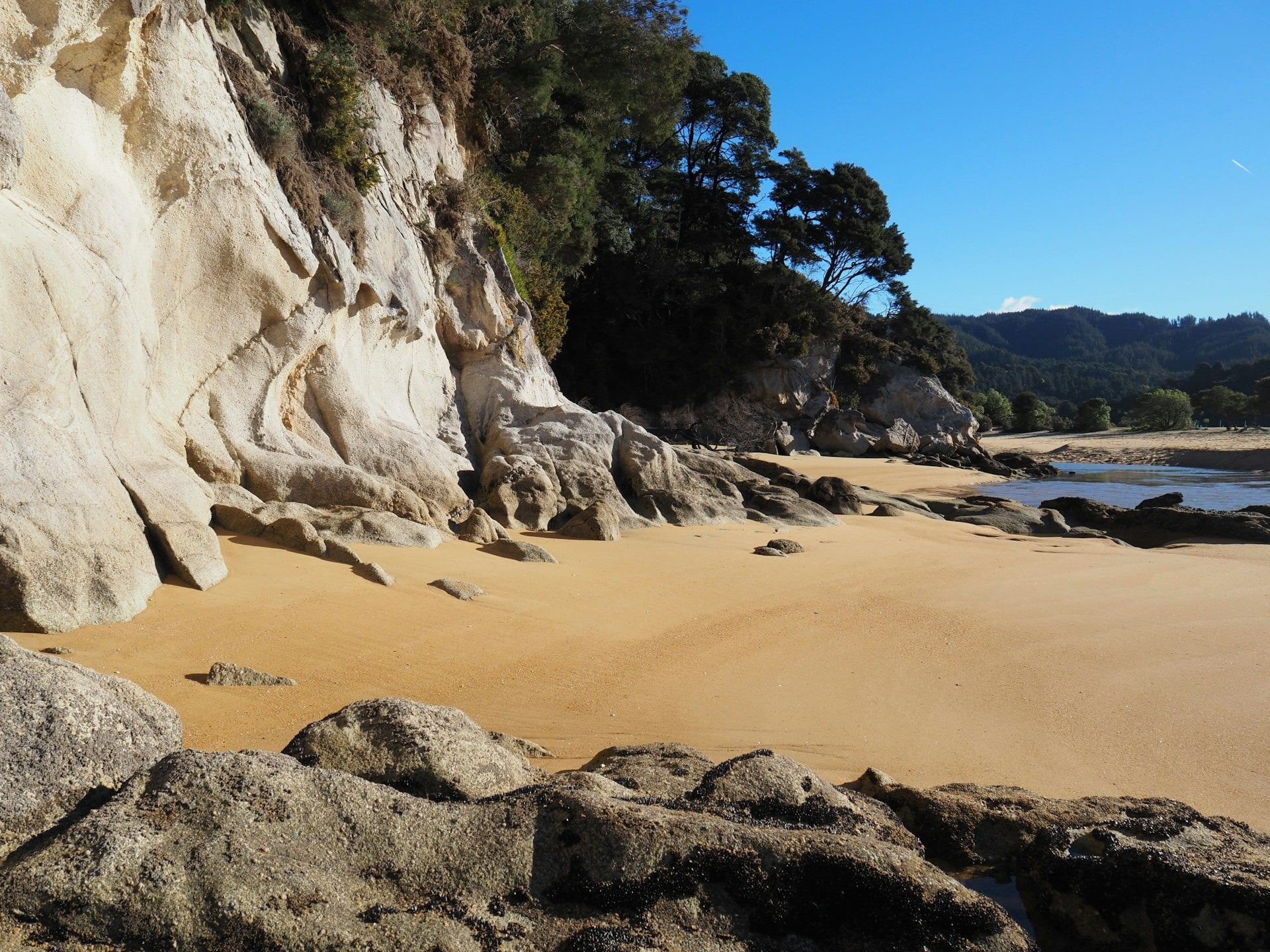
The hills are Separation Point granite, roughly 110 to 120 million years old, and it weathers so deeply that it crumbles into the sand, which is why the beaches are gold rather than white and the water over them turns green in the sun. Where the granite meets the sea it forms rounded boulders and headlands, with the bays between them.
The forest is coming back as well. The Abel Tasman Birdsong Trust, formed in 2007, and Project Janszoon, a private partnership that ran from 2012 to June 2026 and spent more than NZD 21 million, trapped stoats across most of the park and brought birds back that had gone: 532 birds released in fourteen years, among them kākā at Bark Bay in 2019, pāteke on the Awaroa Inlet and tīeke on Adele Island. You hear the difference on the track, with bellbird and tūī in the canopy and weka on the campsite tables after your lunch.
Find the bays and the two gateways on the map
The Track Section by Section
The huts are the natural breaks, and the Department of Conservation describes the track in the five legs between them, with the fourth leg split at Tōtaranui, where the road and the boats end. Each section can be walked in a day: walk it one way, and a water taxi does the other. The distances and times below are the Department's own, without the side trips.
Section | Distance | Time |
Mārahau to Anchorage | 12.4 km | 4 h |
Anchorage to Bark Bay | 11.5 km on the all-tide track, 8.4 km across the Torrent Bay estuary | 4 h, or 3 h at low tide |
Bark Bay to Awaroa | 13.5 km | 4 h 30 |
Awaroa to Tōtaranui | 7.1 km, tidal | 2 h 20 |
Tōtaranui to Whariwharangi Bay | 9.8 km | 3 h 15 |
Whariwharangi Bay to Wainui | 5.7 km | 2 h |
Mārahau to Anchorage
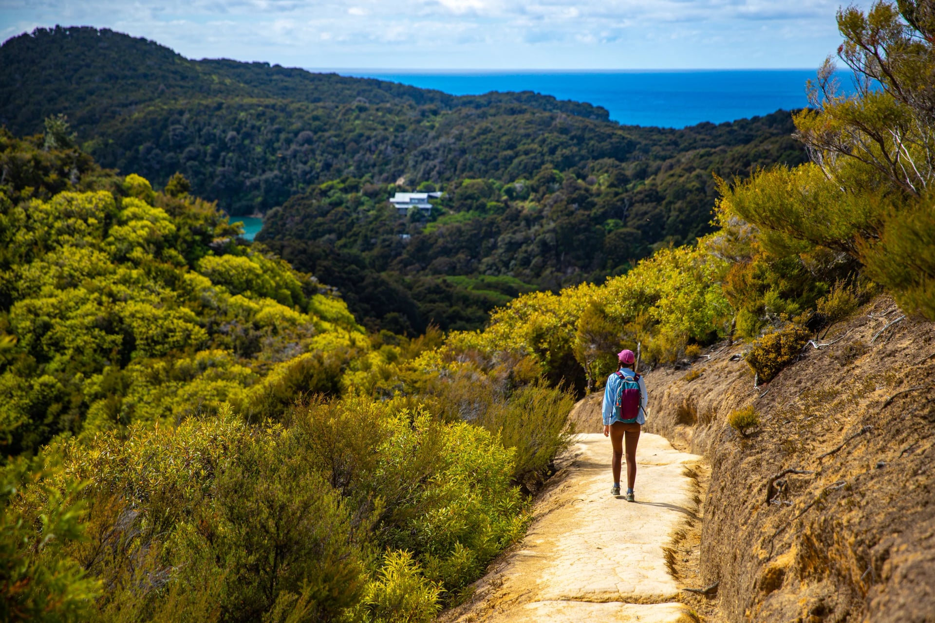
The track leaves the Mārahau causeway through open country and then beech forest with big kānuka, turns inland and works in and out of a run of small gullies before it comes out above Anchorage Bay and drops to the hut.
Distance and time: 12.4 km, about 4 hours
Start and finish: the track entrance at the Mārahau road end, where a causeway crosses the estuary, to Anchorage Hut and campsite
Tide: none to wait for
Water taxi: boats call at Apple Tree Bay and Anchorage, so the section is often walked out southwards after a morning drop
Side trips: the Tinline Bay Nature Walk, 20 minutes return, and the Pitt Head loop from Anchorage out to Te Pukatea Bay
Eight campsites sit on this one section, more than on any other, at Tinline, Coquille Bay, Apple Tree Bay, Akersten Bay, Watering Cove, Observation Beach, Te Pukatea Bay and Anchorage itself, which tells you how many small beaches the path passes on its way.
Anchorage is the busiest beach in the park, with the first hut, 34 bunks, and a large campsite behind the sand. If you have an hour to spare in the evening, the loop out to Pitt Head and Te Pukatea Bay starts from the southern end of the campsite and comes back along the cliff tops.
Anchorage to Bark Bay
From Anchorage the all-tide track climbs over the ridge and drops to the Torrent River, which it crosses on the new Kākāwera bridge, then rounds the estuary past the Cleopatra's Pool junction to Torrent Bay, a cluster of private holiday houses with a small campsite.
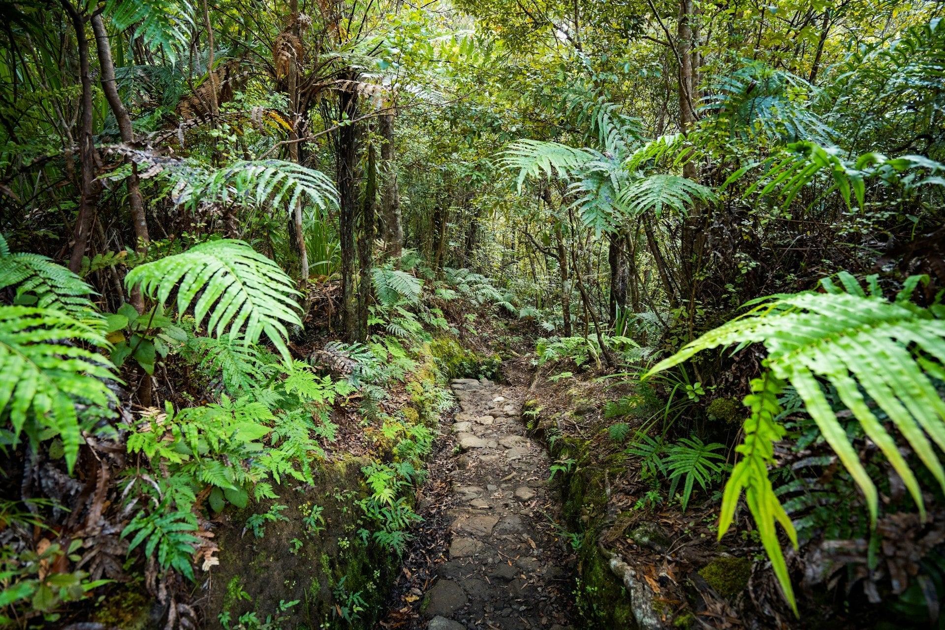
Distance and time: 11.5 km and 4 hours on the all-tide track, or 8.4 km and 3 hours across the Torrent Bay estuary at low tide
Start and finish: Anchorage Hut to Bark Bay Hut, on the spit between the sea and the Bark Bay estuary
Tide: the Torrent Bay estuary opens two hours either side of low tide; at other times take the all-tide track round it
Water taxi: Torrent Bay, Medlands Beach and Bark Bay are on the timetables
Side trips: Cleopatra's Pool, off the all-tide track, and Cascade Falls, an hour and a half return and steep in parts
At low tide the estuary itself is the shortcut, straight across the sand from the northern end of Anchorage beach, and the shortcut saves 3 km and about an hour.
Beyond Torrent Bay the path follows the ridge inland, then drops to the Falls River and crosses it on a 47-metre suspension bridge. From there it runs through coastal forest, past the side track down to Sandfly Bay and above Medlands Beach, to the golden spit of Bark Bay, where the second hut has 34 bunks and the campsite stretches along the sand between the sea and the inlet behind.
Bark Bay to Awaroa
Cross or round the Bark Bay estuary, then climb steeply through mānuka before the track comes back to the sea at Tonga Quarry, where granite was once cut for building, and on to Onetahuti, one of the longest beaches on the track.
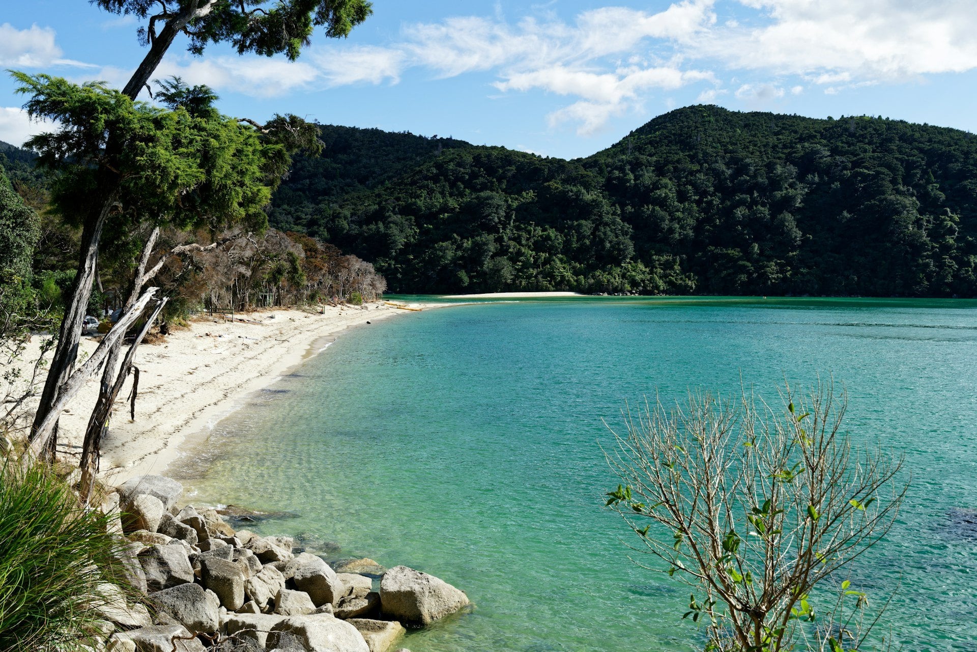
Distance and time: 13.5 km, about 4 hours 30
Start and finish: Bark Bay Hut to Awaroa Hut and campsite, further round the inlet than the beach where the boats land
Tide: the Bark Bay estuary opens two hours either side of low tide; the all-tide track round it takes ten minutes
Water taxi: Bark Bay, Tonga Quarry, Onetahuti and Awaroa are all stops, so this is the easiest section to shorten
Side trips: none signposted; the walk along Onetahuti beach is the break
Over the forested Tonga Saddle a junction gives two ways down: the main track to a lookout over Awaroa Bay and round to the hut, or the right-hand path straight to the beach if you have a boat to catch.
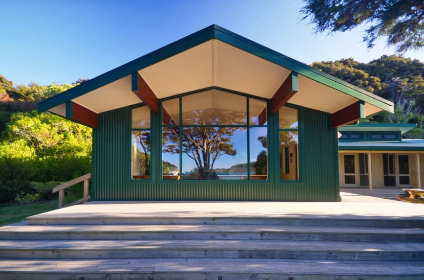
The hut is a surprise to many walkers, because it sits further round the inlet than the lodge and the landing beach, so allow for it. At low tide you can also follow the beach below the high-water mark round the inlet and wade across to the hut; stay below the tide line, because the birds nest in the sand above it.
Awaroa to Tōtaranui
An orange marker across the sand from the hut shows where the track picks up again.
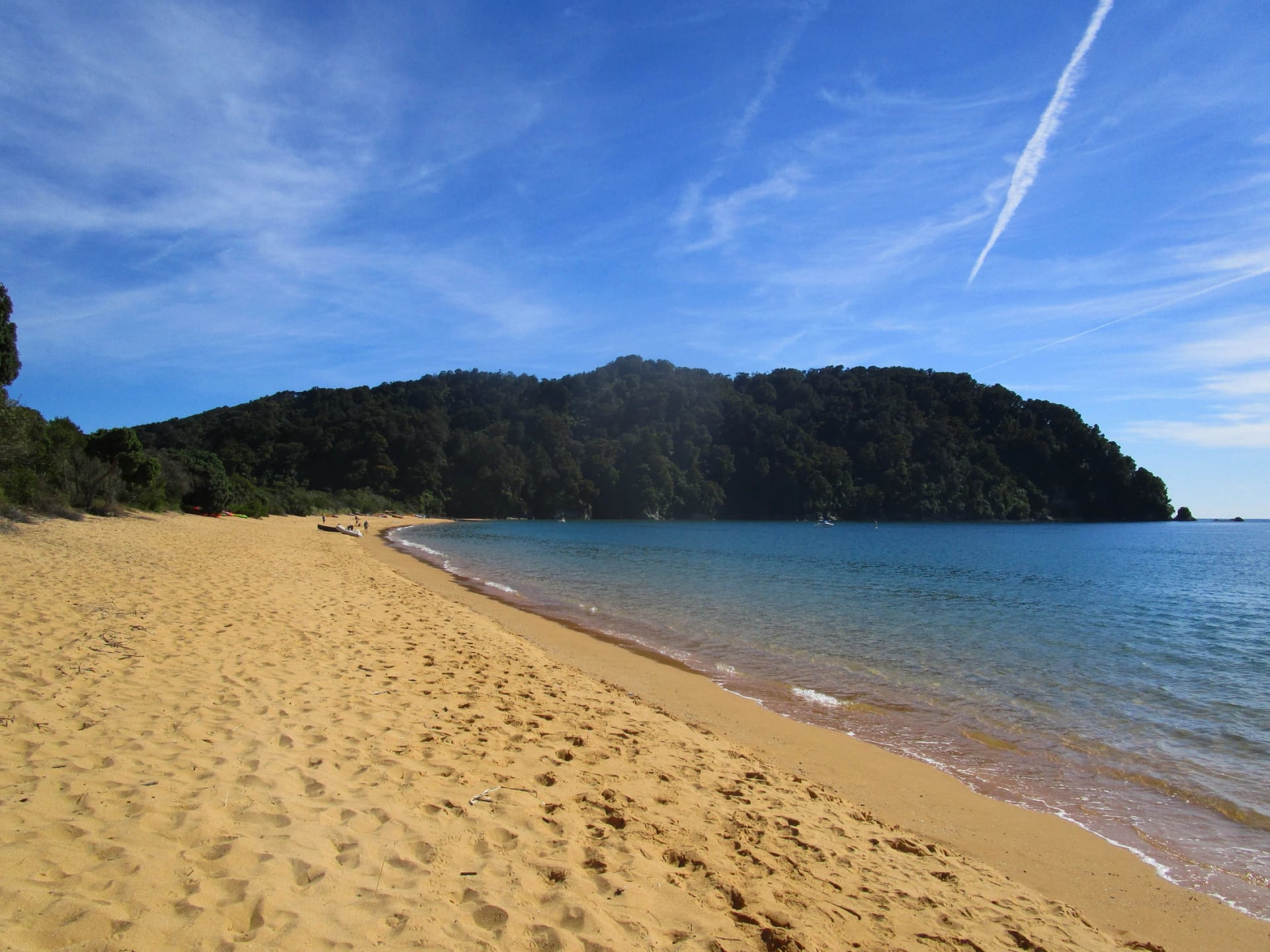
Distance and time: 7.1 km, about 2 hours 20, plus the wait for the water
Start and finish: Awaroa Hut, across the inlet, to the Tōtaranui campground and road end
Tide: the Awaroa Inlet, the one compulsory crossing, in daylight and only around low tide; the window is in the tide section below
Water taxi: Awaroa and Tōtaranui are the last two stops
Side trips: none signposted
Beyond it the path runs through wetland and tall ferns past the Waiharakeke Bay campsite, comes out onto the beach at Goat Bay, where the beach access is cut at big tides, and climbs steeply to a lookout above Skinner Point before it drops to Tōtaranui.
Tōtaranui is the one point on the track with a road to it. The campground across the gravel road from the beach is the largest in the park, the Great Walk sites along the grass behind the beach are kept for walkers, and Great Walk campers may book Tōtaranui for one night only, all year.
Tōtaranui to Whariwharangi Bay
This is the quietest leg of the track, because no scheduled boat may go beyond Tōtaranui.
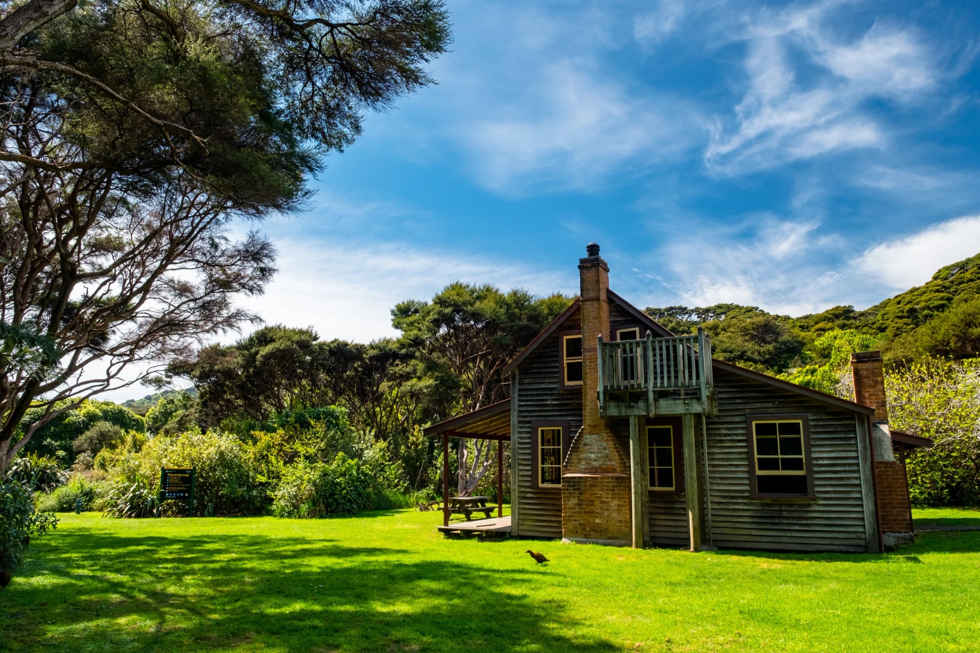
Distance and time: 9.8 km, about 3 hours 15; add an hour to go by way of Separation Point
Start and finish: the northern end of the Tōtaranui campground to Whariwharangi Hut, behind the beach
Tide: none
Water taxi: none; from here you walk back to Tōtaranui or out to a car at Wainui
Side trips: the headland loop to Separation Point, described in the places further down
The path crosses the flats at the end of the campground, drops to Anapai Bay, climbs again above Mutton Cove and splits: straight on to Whariwharangi, or left for the point. Both ways climb inland through regenerating kānuka to Whariwharangi Hut, a homestead built around 1896 and restored as the fourth hut, with 20 bunks and campsites behind the beach.
Whariwharangi Bay to Wainui
The last section follows a stream up from the bay to a saddle above the Wainui Inlet, then winds down to the shore and along the estuary edge to the car park.
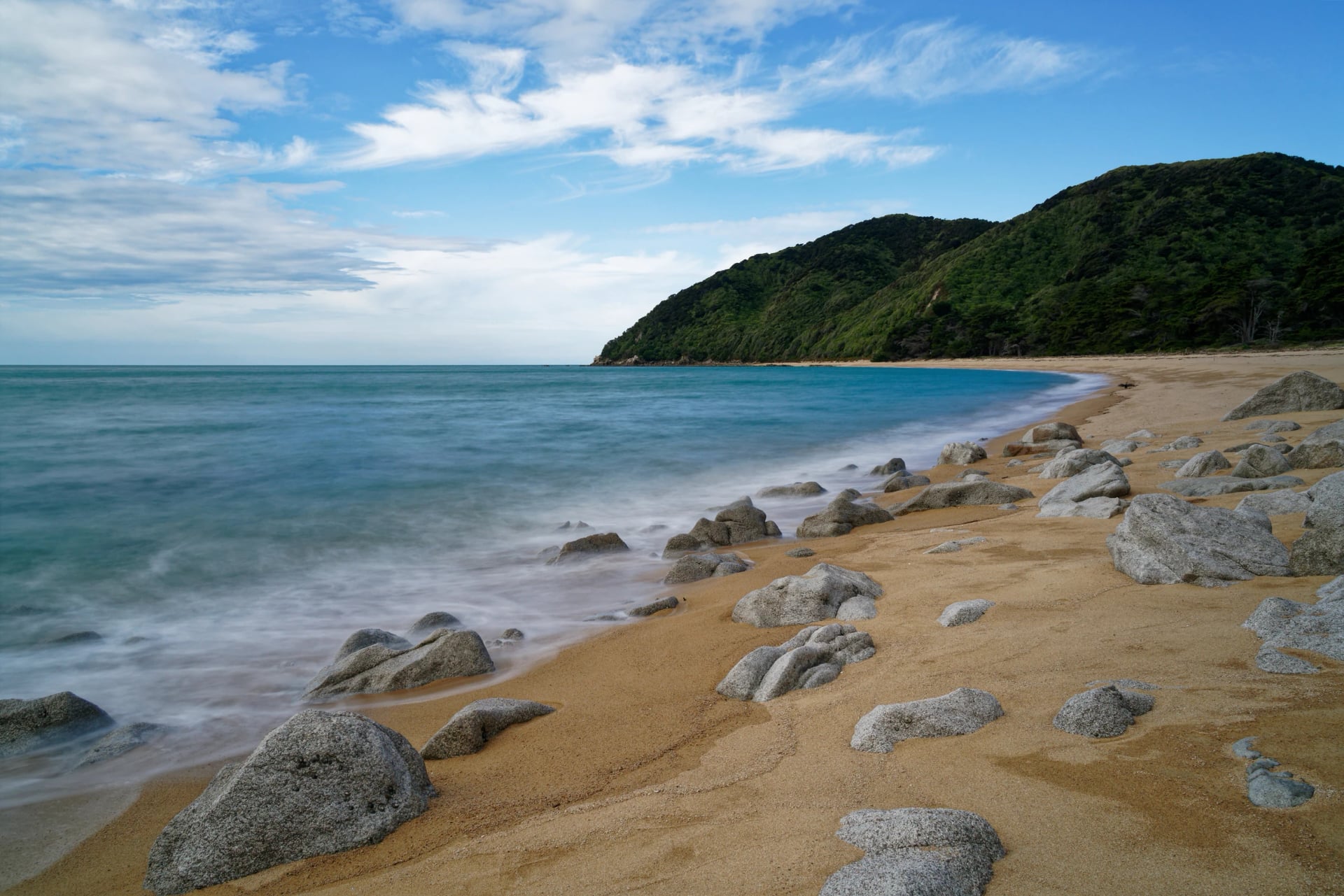
Distance and time: 5.7 km, about 2 hours; or 9 km and 3 hours back to Tōtaranui over Gibbs Hill
Start and finish: Whariwharangi Hut to the Wainui car park at the head of the inlet, 21 km from Tākaka
Tide: none
Water taxi: none; the choices are a car at Wainui or the Gibbs Hill Track back to the boats at Tōtaranui
Side trips: none
If your car is at Mārahau, turn left at the saddle instead onto the Gibbs Hill Track, 9 km back to Tōtaranui in about 3 hours, and leave enough time for the afternoon boat. From 1 May to 30 September that track is shared with mountain bikes, in groups of up to eight.
How Hard Is the Abel Tasman Coast Track?
The climbs are short and the path is well marked, so the hard part is the tide, not the walking.
Our grade for this walk is 2 of 5 for fitness and 2 of 5 for technique. In our hiking difficulty guide, a 2 for fitness means days that most healthy people can handle, around 10 to 12 km with 600 to 900 m of combined up and down on average, and a 2 for technique means well-beaten dirt paths with no steep slopes and little or no exposure to heights, still suitable for beginners and families.
Awaroa Inlet opens for three and a half hours a tide: the Department of Conservation's rule is within an hour and a half before low tide and two hours after it, in daylight, and there is no track around it. That is the one fact that decides the shape of any walk in the northern half of the park. Miss the window and the next one comes about twelve hours later, which on a short day means the next morning. The crossing itself is easy: a wide tidal flat of sand and shallow channels, knee-deep at the lowest, and the crossing takes about 25 minutes.
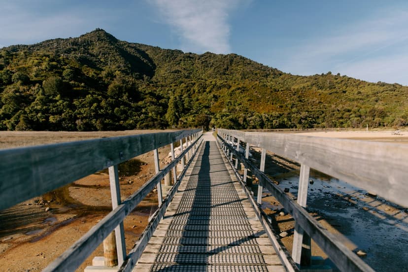
The two optional estuaries, at Torrent Bay and Bark Bay, are different: both have an all-tide track around them, so a high tide costs you time rather than the day. The Torrent Bay one has had a 56-metre suspension bridge since November 2024, after a slip took the old one out.
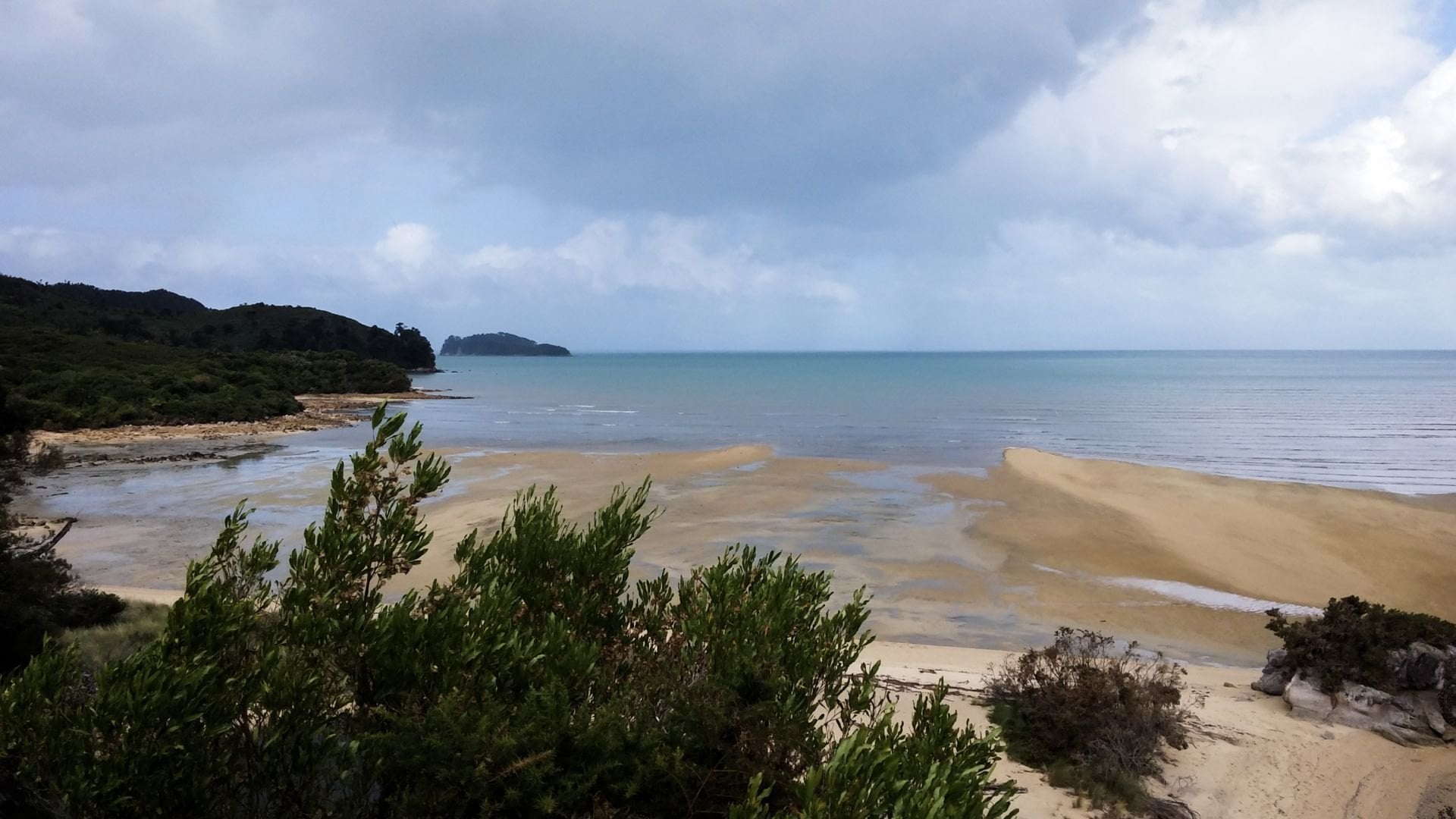
Use the Department of Conservation's own Abel Tasman tide table, which it publishes by the month with sunrise and sunset beside the two low tides. The times are the Nelson tide, a few minutes later. Low tide moves about fifty minutes later each day, so a crossing that falls at nine in the morning on Monday is after midday by Thursday, and on many days the second low tide is after dark and does not count. If the daylight low tide on your Awaroa day is in the afternoon, walk the day in reverse: take the boat north first and walk back to the crossing.
The tide reaches the beaches too. Water taxis land on the sand, so at Mārahau a tractor tows the boats across the flats to the waterline at the start of the day, and at Awaroa the boat lands on the beach in front of the lodge rather than at the hut. None of that needs managing by you, but it is why the departure times on the timetable change with the day of the month.
Everything else about the track can be booked in an afternoon. The crossing time, the boat that matches it and the lodge night in between are what take the planning, and that is the part we do for you.
Send us your dates and one of our agents will come back with a plan built around the tide.
Prefer to talk it through first? Book a call.
How Many Days Do You Need?
The water taxis make every length work, because any day can start or finish at a beach rather than at a car park.
1 day: a water taxi out to Anchorage or Bark Bay and the walk back towards Mārahau, or a kayak morning and a boat home. You sleep in Mārahau or Kaiteriteri.
2 days: the boat to Bark Bay, the walk south to Anchorage for the night, and out to Mārahau the next day. You sleep at Anchorage.
3 days: the three sections that make the track famous, with a water taxi to the start of each day and the Awaroa crossing timed to the tide. You sleep at the lodge inside the park; this is the walk we arrange.
4 days: Mārahau to Tōtaranui, one section a day, and the boat back from Tōtaranui, where the road and the boats end. You sleep at the huts or campsites at Anchorage, Bark Bay and Awaroa.
5 days: the whole coast to Wainui, the five legs between the huts, with Tōtaranui to Whariwharangi Bay added to the Awaroa day. You sleep at Anchorage, Bark Bay, Awaroa and Whariwharangi.
On the two-day plan, book the night early: the summer dates fill months ahead, and the huts ran at about 95 percent occupancy last summer. On the longer plan, the Awaroa day fixes the rest, because the crossing is possible only around low tide and the water taxi to the northern beaches runs to a timetable. To see how it compares with the other ten, read our guide to the Great Walks.
For a first visit we would walk the three sections that make the track famous, with the boat carrying your bag if you add the optional transfer. We book the lodge inside the park, time the Awaroa day to the tide table and hand you the crossing time with the route. See the walk:
Day Hikes and Water Taxis
Most people on the track are here for a single day, dropped on a beach by the morning boat and collected in the afternoon. A day hike here is one section walked one way, and the choice comes down to how far you want to walk and which beach you want lunch on. The water-taxi companies sell the usual combinations as return trips with the fares included, or you book the two legs yourself.
We do not arrange single days on their own; our walk links three sections, with nights at the lodge inside the park.
Day hike | On foot | How the boat fits |
Pitt Head loop | 1 h 30 round trip from Anchorage to Te Pukatea Bay and back along the cliffs | out to Anchorage and home from the same beach, a half day |
Bark Bay to Anchorage | 8.4 km and 3 h across the Torrent Bay estuary at low tide, 11.5 km and 4 h on the all-tide track | drop at Bark Bay, pick-up at Anchorage; the classic |
Torrent Bay to Bark Bay | about 7.5 km and 2 h 30 to 3 h, over the Falls River bridge | morning drop at Torrent Bay, pick-up at Bark Bay or Medlands Beach |
Torrent Bay to Onetahuti | about 4 h through the middle of the park | drop at Torrent Bay, pick-up at Onetahuti |
Bark Bay to Awaroa | 13.5 km and 4 h 30 | drop at Bark Bay, pick-up on Awaroa beach; start at Onetahuti for a shorter day |
Anchorage to Mārahau | 12.4 km and 4 h | one boat only, out to Anchorage, then walk back to your car |
Shorter walks off the track
Tinline Bay Nature Walk: 20 minutes return from the first campsite, about 3 km in from Mārahau, flat enough for small children
Cleopatra's Pool: a swim more than a walk, up the side track from the all-tide route between Anchorage and Torrent Bay
Cascade Falls: an hour and a half return from Torrent Bay, with steep ground in parts
Places Near the Track
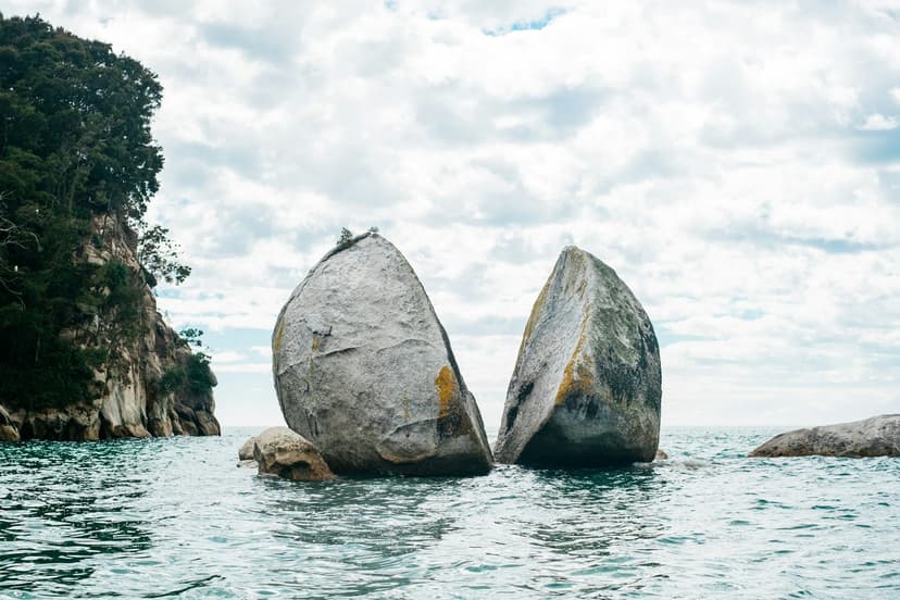
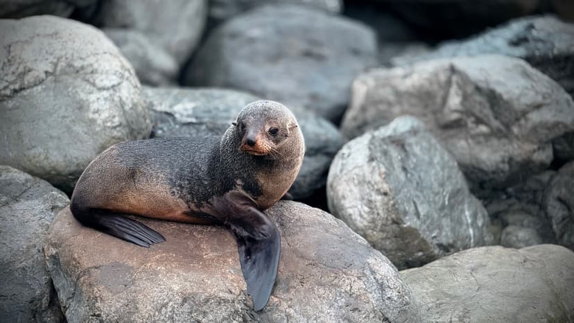
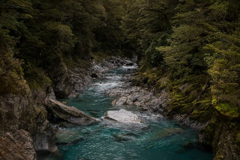
Six places that earn a detour, none of them on our walk: a granite boulder split in two, a seal colony, a river pool, the park's northern tip, a waterfall in the bush and the beach where the boats leave from.
Kayaking and Boat Trips
Half of a visit here happens on the sea, and most of it can be booked the day before from Mārahau or Kaiteriteri. A guided kayak morning along the coast, a water taxi hop between beaches, a paddle out to the seals and a cruise the length of the park are the ways in, and on our walk a half-day kayak can replace a walking stage if you ask when you book.
Elsewhere in New Zealand a multi-day track is a commitment: you carry food for the week and walk out the way the track goes. Here the sea is the other half of the park. Kayaks share the bays with the water taxis, the fur seals of Tonga Island, a no-take marine reserve since 1993, haul out on the rocks beside the paddling route, and a swim at the end of the day is the normal way to finish it.
The classic paddle leaves Mārahau in the morning and follows the coast north past Adele and Fisherman islands to the beach at Anchorage, about four hours for a steady pair. Rental kayaks go out in twos, with a briefing and a minimum age of 14, from about NZD 125 a person; the kayak goes home by water taxi.
Adele Island, on the way, got its saddlebacks back in 2014, from Motuara Island in the Sounds.
Ride out, walk a section, ride back. The boats leave Mārahau and Kaiteriteri at nine in summer, stop at Anchorage, Bark Bay, Onetahuti and Awaroa, and reach Tōtaranui in an hour and three quarters; a one-way fare costs NZD 63 to 75 and carries one bag for you.
Book the day before in summer. In winter the boats still run seven days a week, but only when someone has booked.
The combination most people choose. A guided morning on the water from Mārahau to Observation Beach or Anchorage, lunch on the sand, then the Coast Track back through the forest on your own feet, about three hours. From about NZD 150 a person with a rental kayak, or NZD 260 guided, and the kayak goes home by water taxi.
Guided kayak days reach the Tonga Island Marine Reserve, where the fur seals breed from October to January and the dolphins come in to feed. A water taxi carries the kayaks north first, and only three operators hold the permit to approach the colony. Keep 20 metres from any seal on land.
The reserve runs one nautical mile out from the shore, between Awaroa Head and the headland south of Bark Bay.
The whole coast from a deck chair. Three and a half hours from Kaiteriteri to the top of the park and back, past Split Apple Rock, the seal rocks and every beach on the track, from about NZD 118; the half-park cruise is shorter and cheaper. Both let you step off for a walk and rejoin a later boat.
Sit on the left going north: the whole coast is on that side.
Where to Sleep
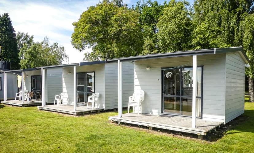
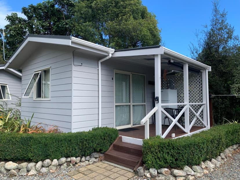
Three kinds of bed, from the village at the gate to a tent behind the beach. Mārahau has the B&Bs, lodges and the beach camp an easy walk from the water taxis, Kaiteriteri has the resort beach, and inside the park there are the Department of Conservation huts and the campsites. One lodge inside the park takes public bookings, at Awaroa, reached by boat or on foot only; it is where our walkers sleep, and it has its own card in our guide to the Great Walks.
When to Go
December to April for the sea, October and November or April and May for the walking. The track is open all year and busiest from October to April; in winter the water taxis still run seven days a week, but only when someone has booked. Summer here is dry and settled by New Zealand standards, and Nelson gets about 2,400 hours of sun a year, among the highest in the country.
Season | Sea and weather | Bookings and crowds |
December to February | Highs of 21 to 23 °C at Tōtaranui, the sea at its warmest in February, strong westerlies some afternoons | The school holidays from about 19 December to the end of January fill every bed; book months ahead |
March to May | 21 °C in March and the most settled weather of the year, 16 °C by May | The best balance of weather and space, with the huts easier to book after Easter |
June to August | Highs of 13 to 14 °C, frosts possible, more rain days | Quiet, no sandflies, boats on the winter timetable, the lodge café shut |
September to November | 15 to 19 °C and warming, with wind and rain on some days | The track fills from Labour Weekend in late October, the sea still cold |
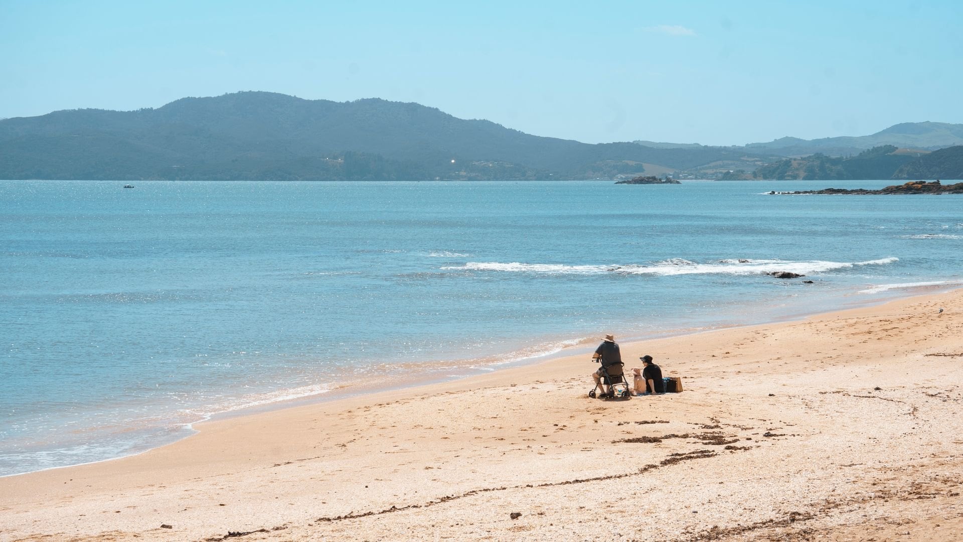
The weeks to avoid without a booking run from Christmas to the second week of January: every bed in Mārahau and every hut on the track is full, and Kaiteriteri charges for parking from mid-December to early February. Watch the forecast on MetService, the national weather service, and read the Department of Conservation's alerts page for Nelson Tasman before you go, because slips closed parts of the track after the storms of July 2025.
Getting There
Fly to Nelson, then drive or take a shuttle for an hour and a quarter. Nelson has flights from Auckland, Wellington and Christchurch, and the road to Mārahau runs through Motueka, the last town with a supermarket and a pharmacy. You do not need a car: the shuttle meets the morning in Nelson, the water taxis leave from the village, and everything in the park is reached by boat or on foot.
From | To | How |
Nelson airport | Mārahau | 60 to 67 km, depending on who measures it; about 1 h 15 by shuttle or car |
Nelson | Kaiteriteri | 61 km, about an hour |
Nelson | Tōtaranui | 160 km over Tākaka Hill into Golden Bay, the last 12 km unsealed; about 2 h 30 |
Christchurch | Nelson | 5 h 20 by road, or a 55-minute flight |
Picton | Nelson | About 2 hours by road, for walkers coming from the Queen Charlotte Track |
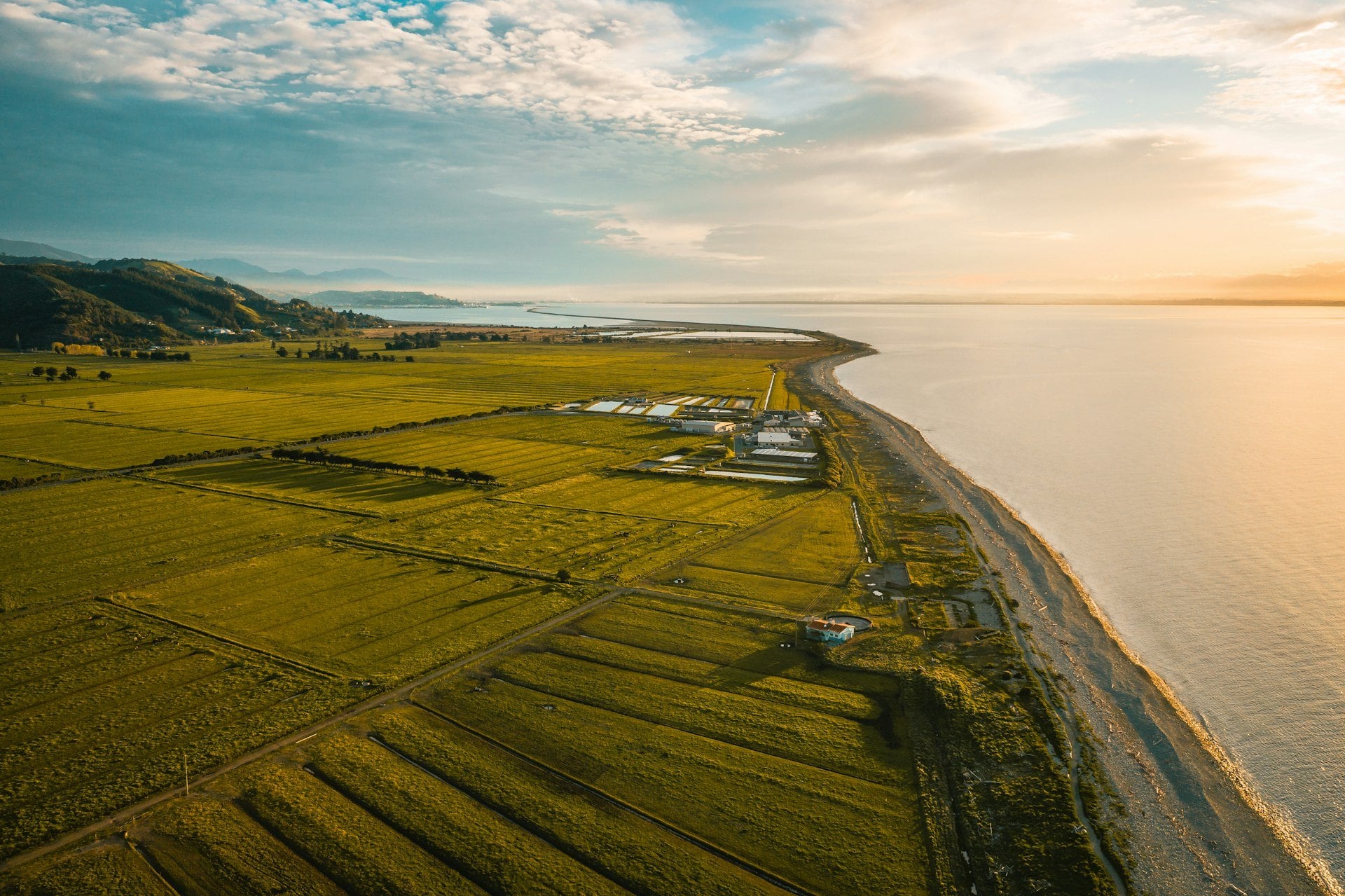
The Better Bus runs the shuttle: it leaves Nelson at 06:30, reaches Mārahau at 08:15 in time for the first boats, and comes back from the village at 16:20; the fare is NZD 42.50 each way in the 2026/27 season. It cannot meet a morning flight, so sleep in Nelson the night before, or book one of the kayak companies' own buses.
The water taxis are the park's buses. AquaTaxi runs from Mārahau, where it has been since 1990, and Wilsons and Abel Tasman Sea Shuttles run from Kaiteriteri. The boats leave at 09:00 in summer, call at the main beaches on the way north to Tōtaranui and come back through the afternoon, and every fare includes one bag of up to 20 kg to the same beach as you. The fares below are AquaTaxi's published one-way adult prices for 2026/27; Wilsons' are about NZD 10 lower from Kaiteriteri.
From | To | One-way fare |
Mārahau | Anchorage | NZD 63, about 45 minutes |
Mārahau | Bark Bay | NZD 67, about an hour |
Mārahau | Awaroa | NZD 73, about 1 h 30 |
Mārahau | Tōtaranui | NZD 75, about 1 h 45 |
Book the boat the day before in summer and tell the skipper your pickup beach and time when you board. Torrent Bay is a morning drop-off only, with no pickups, and the timetables for both bases are on the AquaTaxi timetable page and the Wilsons sailing timetable.
The Queen Charlotte Track is a day's travel to the east, in the Marlborough Sounds, and the two make one trip: beaches and tides first, then lodge-to-lodge walking along the sound. The link is a road day from Mārahau through Nelson to Picton, and the boat out to Ship Cove the next morning.
We put the two together on Two Walks, One Trip: Abel Tasman and Queen Charlotte, with the travel day in the middle and the lodges booked on both tracks. Moving your bags by boat is an optional extra.
Frequently Asked Questions



Plan with a hiking expert
Free advice from a team that knows these routes inside out - real people, not a bot

HASSLE-FREE
We handle itineraries, accommodations, and anything else you prefer not to deal with, so you can enjoy a carefree hike.

BOOK WITH CONFIDENCE
We are a financially protected company, fully bonded and insured, keeping your money safe and allowing you to travel with confidence.

TRIED & TESTED ADVENTURES
We picked each walk only after checking it stage by stage, from the boat timetables to the lodge at each stop.

SUPPORT ON THE TRACK
Our support number is in the guidebook we give you, for a missed boat or a change of plan. In an emergency, dial 111, free from any phone.