New Zealand Great Walks: From Mount Doom to Milford Sound
Abel Tasman tides, Fiordland passes and a river you paddle: New Zealand's eleven Great Walks, with their huts, seasons and how to book each one.
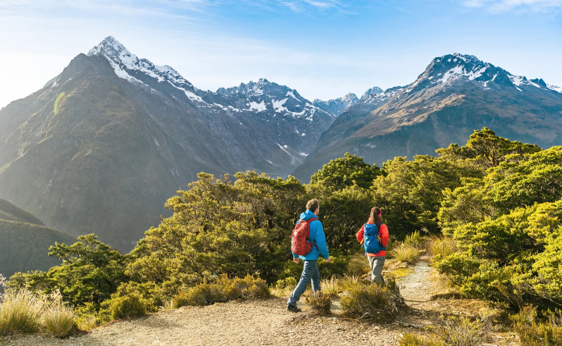
Quick links
Don't want to read all this?
We've planned 2,000+ hiking trips. Send your dates, fitness and group size — we'll map the route and book every night.



New Zealand has eleven Great Walks, the tracks the Department of Conservation (DOC) calls its premier multi-day walks. In the Great Walks season their huts and campsites are booked ahead, and bookings for 2026/27 are already open, for stays up to 30 June 2027.
This page sets out the best multi-day hikes in New Zealand one by one: where each goes, how long it takes and how it is booked. Our guests walk the Abel Tasman Coast Track and the Hump Ridge Track with us, so those two get the most detail, from tides to lodges.
Where are the Great Walks?
Three Great Walks are on the North Island and eight on the South Island and Stewart Island. This Great Walks map pins the start of each one. The Milford, Routeburn and Kepler are all reached from Te Anau, so one base town covers three Great Walks.
Map
New Zealand's 11 Great Walks
The distances and days are DOC's own, from its Compare Great Walks page, and each entry links down to the full details.
1. Abel Tasman Coast Track
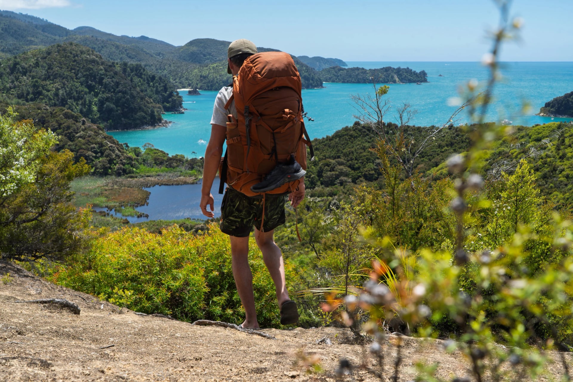
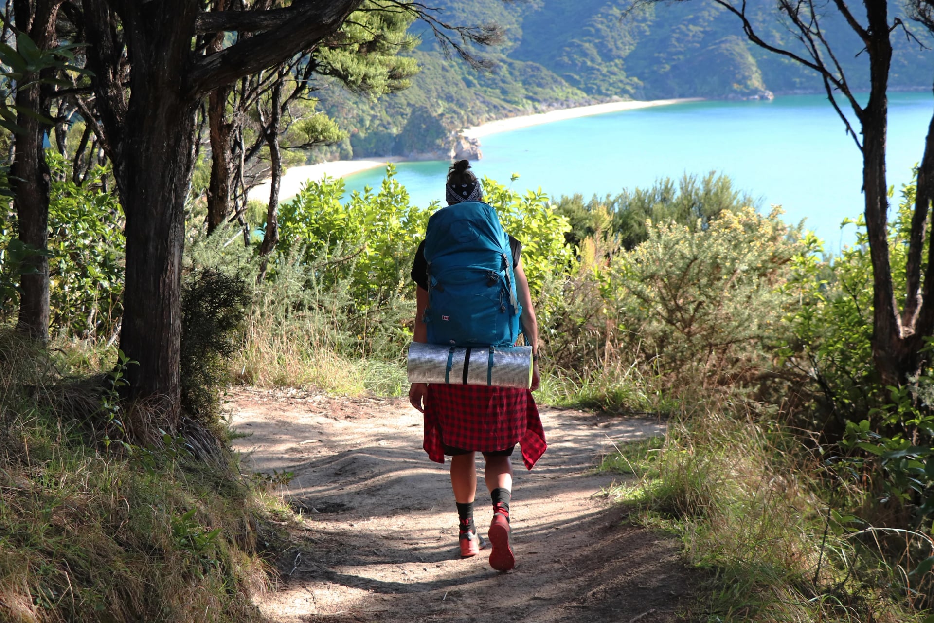
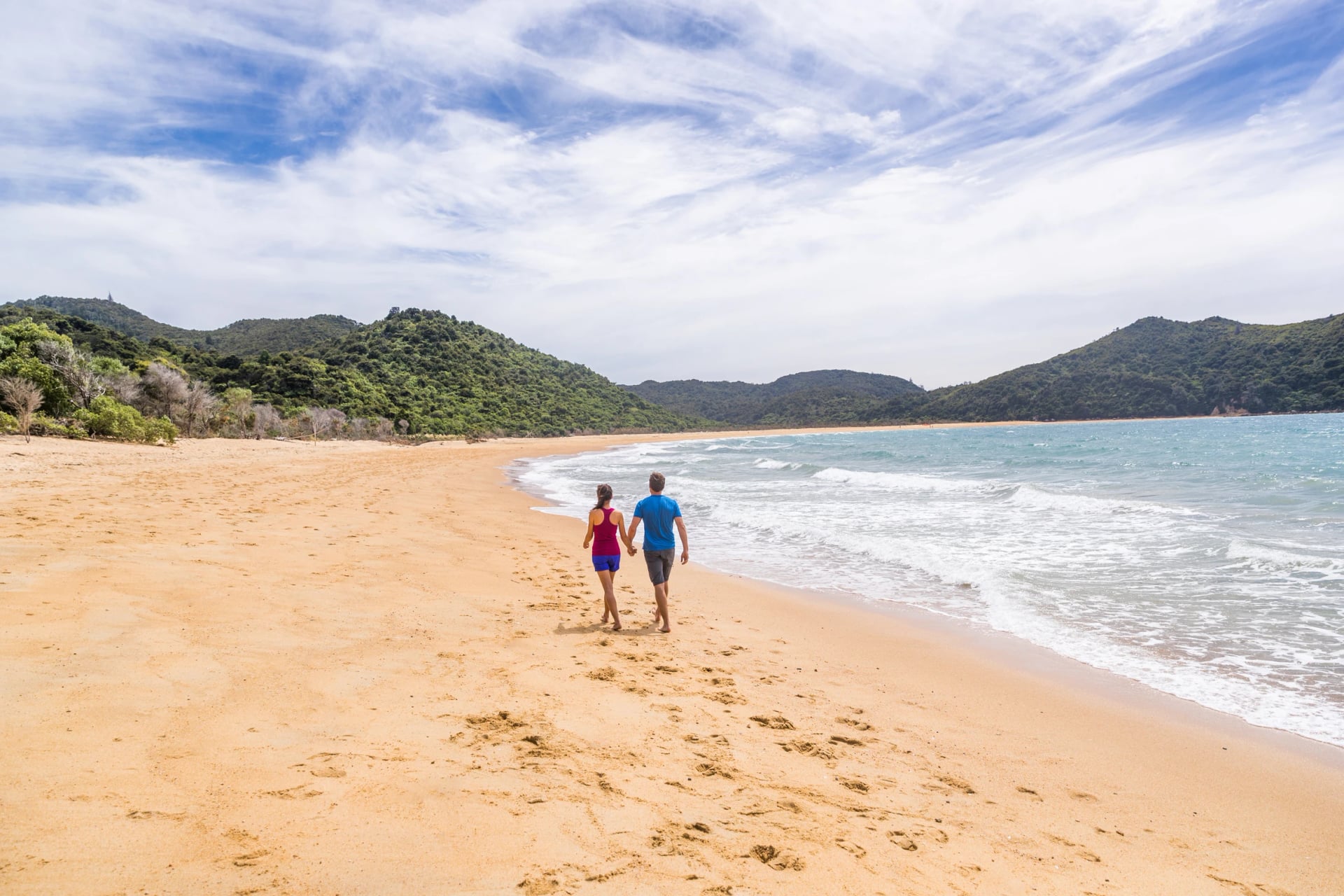
The Great Walk of golden beaches, where water taxis stop at the main bays, so you can walk all 60 km or only the best parts. Hikers love swimming at the end of the day, with fur seals on the rocks below the track. Allow 3 to 5 days; it is walked all year, and we like spring and autumn best, when the bays are quieter. Plan it around the Awaroa tide.
2. Hump Ridge Track
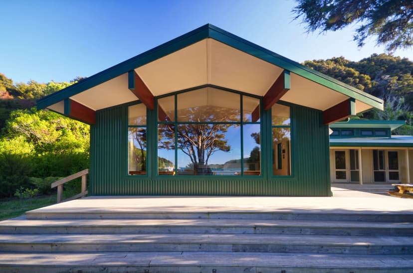
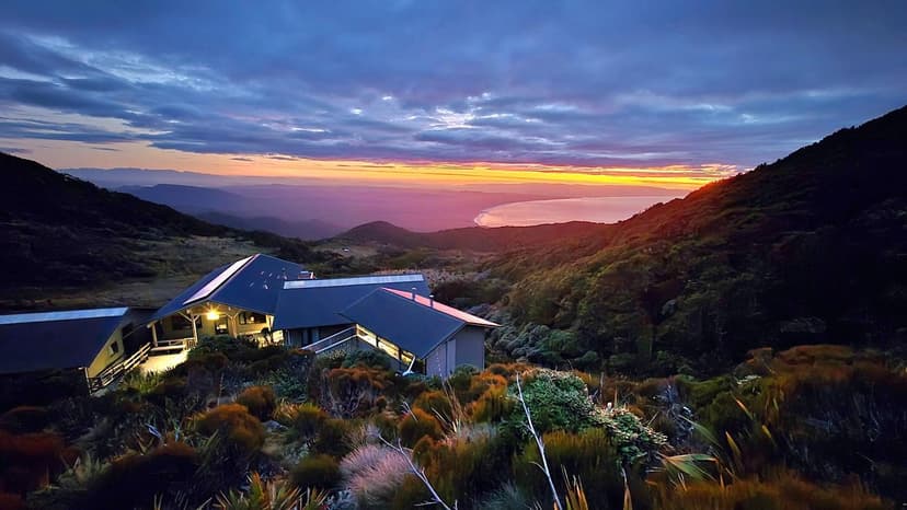
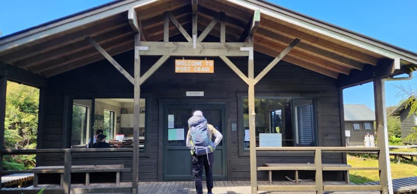
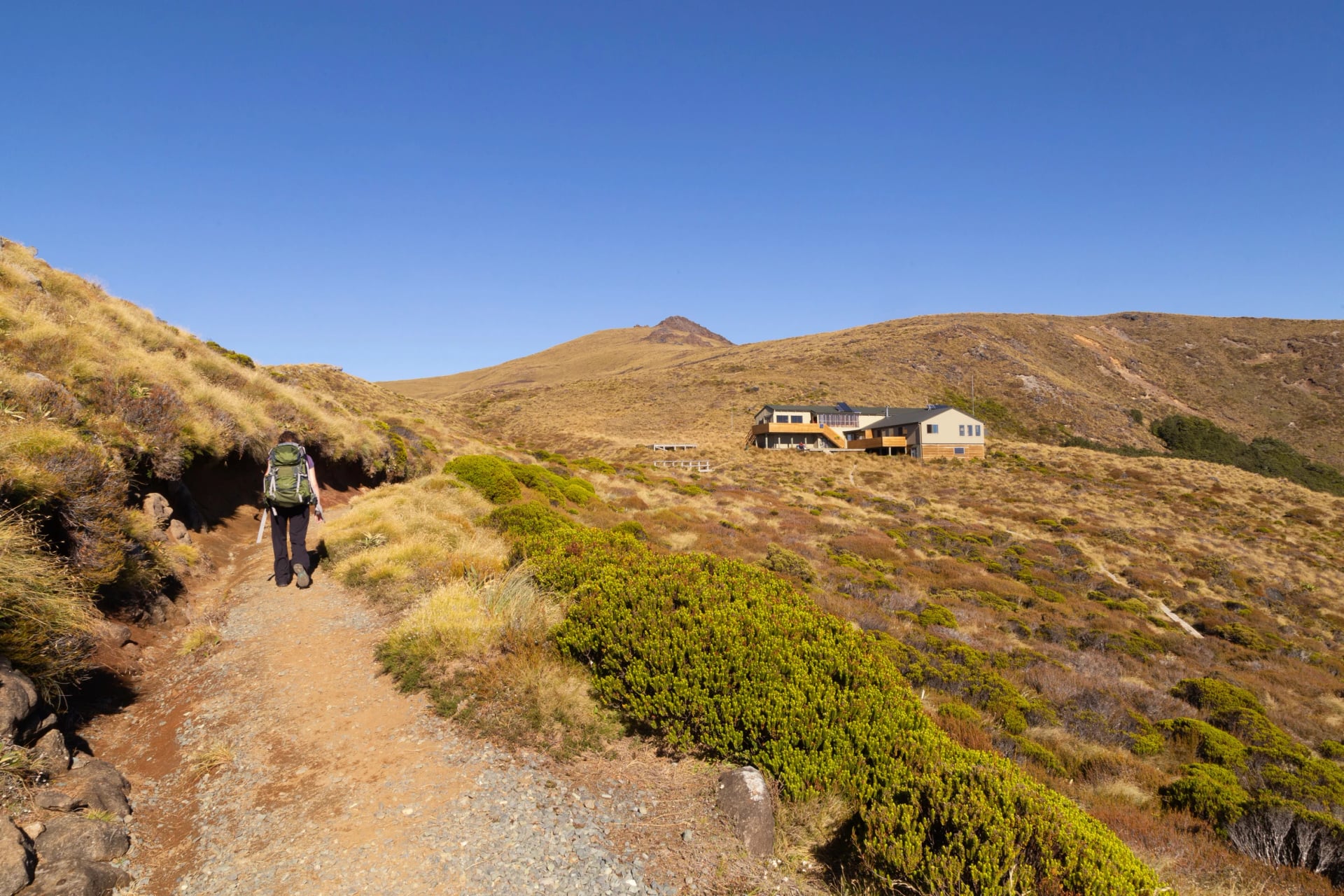
The newest Great Walk, opened in October 2024, and its two lodges replace the usual huts, with bedding and hot showers on offer. The loop of about 61 km climbs from the south coast to tors and tarns above the tree line, then returns over historic logging viaducts in 3 days. The Trust's summer season runs from late October to mid-April, and the three days are set out below.
3. Milford Track
The most famous of the eleven runs one way over 53.5 km in a fixed 4 days, from Lake Te Anau to Milford Sound/Piopiotahi. Hikers come for the glacier-carved Clinton valley, McKinnon Pass and Sutherland Falls, which drop 580 m in three leaps. The season runs from 1 November to 30 April, and the huts and boats are booked together.
4. Routeburn Track
An alpine crossing in 2 to 4 days: 32 km over Harris Saddle, between Mount Aspiring and Fiordland national parks. Hikers love the views across the Darran Mountains and the alpine plants on the Hollyford Face. Walk it from 1 November to 30 April, and plan transport for both ends, which are 325 km apart by road.
5. Kepler Track
A 60 km loop from Te Anau with no boats to book, taking 3 to 4 days. Hikers love the long day along the tops above Lake Te Anau, often with kea for company, and a night at a beach-side hut on Lake Manapouri. The season runs from 27 October to 30 April, and water on the ridge is the thing to plan for.
6. Lake Waikaremoana
A lake-shore walk in Te Urewera, the homeland of Ngāi Tūhoe: 46 km from Onepoto to Hopuruahine in 3 to 4 days. Hikers love the view from Panekire Bluff on the first day, then quiet bays and the detour to Korokoro Falls. It is booked all year, but the huts have no gas cooking, so pack a stove.
7. Tongariro Northern Circuit
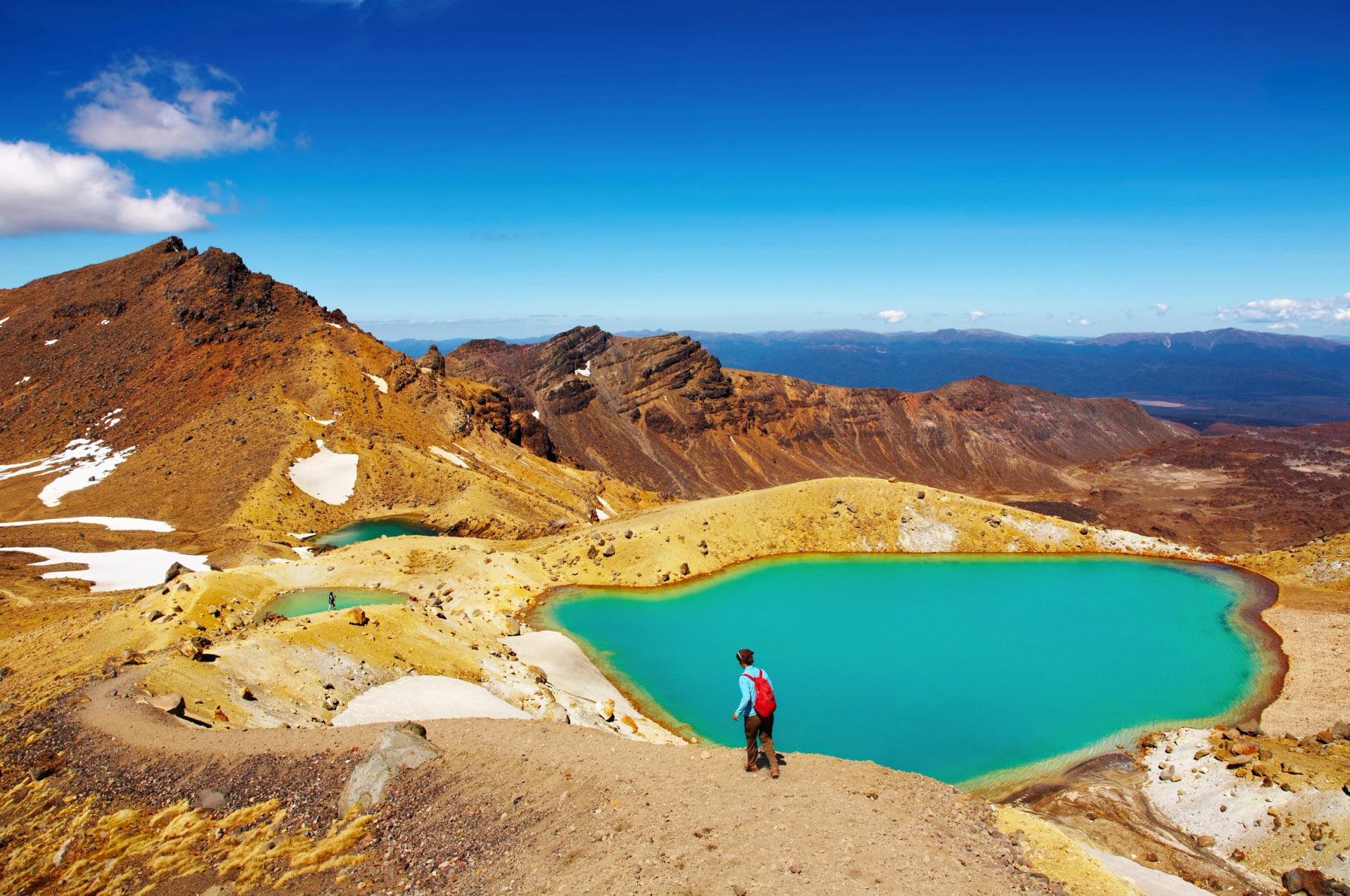
The volcano walk, around Ngāuruhoe, the mountain that stood in for Mount Doom in The Lord of the Rings. Hikers come for Red Crater and the Emerald Lakes, on 35.5 km of track in 3 to 4 days this season. It runs from 23 October to 30 April, and one section is closed in 2026/27 after a fire.
8. Whanganui Journey
The Great Walk you paddle: a canoe trip down the Whanganui River, 145 km in 5 days or 88 km in 3. Paddlers love the bush-clad gorges, a night at a marae and the side walk to the Bridge to Nowhere. The season runs from 1 October to 30 April, and you need confidence in a canoe.
9. Heaphy Track
The longest Great Walk on foot, 78.4 km from Golden Bay to the West Coast in 4 to 6 days. Hikers love how it changes, from beech forest to the open tussock of the Gouland Downs and then nīkau palms on the beach. It is booked all year, and from December to April the track is walkers only.
10. Paparoa Track
A Great Walk shared with mountain bikers: 55 km over the Paparoa Range to Punakaiki, in 3 days on foot. Hikers love the sunsets over the Tasman Sea from Moonlight Tops Hut and the nīkau-lined Pororari gorge on the way down. There are no campsites, so all three huts are booked ahead.
11. Rakiura Track
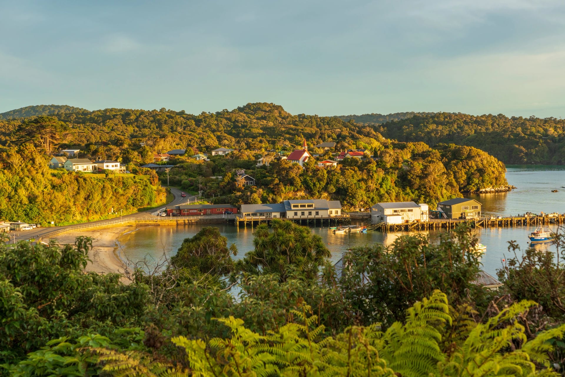
The southernmost Great Walk, a 32 km loop of 3 days on Stewart Island, through forest and along beaches near Oban. Hikers love the birdsong, and Stewart Island is home to its own kiwi, the tokoeka. It is booked and walked all year, and getting to the island is part of the trip.
What makes a Great Walk?
In DOC's words, Great Walk tracks are well formed and easy to follow, and the towns at each end have transport and places to stay. In the season you book every hut and campsite ahead, and on the Milford Track a DOC ranger is in residence at the huts.
On most tracks international walkers pay about half as much again as New Zealand residents, and DOC staff run random checks at huts and visitor centres. DOC's Great Walks prices page lists every hut and campsite fee.
11 Great Walks: one of them, the Whanganui Journey, is a river trip
2 Great Walks: also open to mountain bikes, the Heaphy and the Paparoa
30 June 2027: the last night you can book now, in the 2026/27 season
1.5 times: what an international adult pays for a Routeburn or Kepler hut night, against a New Zealander
The Abel Tasman Coast Track
The Abel Tasman is the Great Walk of golden beaches. The track climbs over headlands of beech and kānuka between the bays, and kekeno, the New Zealand fur seal, rest on the rocks below. Water taxis stop at the main beaches, so you can walk it in sections or mix in a day of kayaking.
At a glance | |
Distance | 60 km one way |
Time | 3 to 5 days |
Start and finish | Mārahau to Tōtaranui or Wainui |
Where you sleep | 4 DOC huts and 18 campsites, or Awaroa Lodge inside the park |
Season | All year |
Booking | DOC, all year, for every hut and campsite |
Tides | One crossing with no way round, at Awaroa Inlet |
Nearest airport | Nelson |
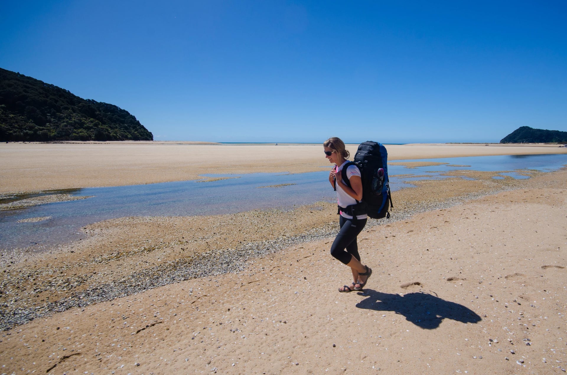
You can walk it in either direction. Our guests start from Mārahau and spend two nights in the heart of the national park, where Awaroa Lodge has no road access.
Plan the walk around the tide tables, as DOC asks. There are three estuary crossings, and only Awaroa has no way round:
Crossing | When you can cross | If the tide is in |
Torrent Bay estuary | 2 hours either side of low tide | All-tide track, 4 hours instead of 3 from Anchorage to Bark Bay |
Bark Bay estuary | 2 hours either side of low tide | All-tide track, about 10 minutes |
Awaroa Inlet | 1 h 30 before to 2 h after low tide | No way round, so you wait |
Fix the Awaroa day first, and build the walk around the Awaroa tide.
For a first visit we would walk it lodge to lodge, with a water taxi to the start of each day. The full route map comes with our tour package.
The Queen Charlotte Track
Next door in the Marlborough Sounds, the Queen Charlotte Track is not a Great Walk. Part of it crosses private land, so walkers buy a Queen Charlotte Track Land Cooperative pass, and there are no DOC huts: you sleep in lodges or at DOC campsites.
At a glance | |
Distance | 73.5 km one way |
Time | 3 to 5 days |
Start and finish | Meretoto/Ship Cove to Anakiwa |
Where you sleep | Lodges, or DOC campsites |
Access | A landowners' pass for the sections on private land |
Bags | Boats carry your pack between the lodges |
Getting there | A boat from Picton to Ship Cove |
From Ship Cove, boats carry your pack between the lodges, so you walk with a day pack. DOC's Queen Charlotte Track page has the pass sections and the side tracks.
We would start at Ship Cove, which is also the end DOC recommends starting from.
Both tracks in one trip
The two tracks sit a day's travel apart, and Abel Tasman and Queen Charlotte pair well: beaches and tides first, then the saddles and lookouts above Queen Charlotte Sound. On the Abel Tasman a water taxi takes you to the start of each walking day, and on the Queen Charlotte boats carry the packs from lodge to lodge.
At a glance | |
Order | The Abel Tasman first, then the Queen Charlotte from Ship Cove |
Link | A travel day by road from Mārahau through Nelson to Picton |
Where you sleep | Lodges on both tracks |
With a week or more, walking both is how we would see the top of the South Island.
The Hump Ridge Track
The Hump Ridge Track opened on 25 October 2024 as the eleventh Great Walk. It climbs from the south coast of Fiordland to tors and tarns above the tree line, then comes back along the coast on an old logging tramline.
At a glance | |
Distance | About 61 km, a loop from Rarakau car park near Tuatapere |
Time | 3 days, with 2 nights in lodges |
Where you sleep | Ōkaka Lodge and Port Craig Lodge |
Season | Summer season 23 October 2026 to 17 April 2027 |
Booking | Through the Hump Ridge Trust, not DOC |
Tides | Blowholes Beach, on the last day, at low tide only |
Nearest airport | Invercargill, about 1 h 15 by road |
The Tuatapere Hump Track Charitable Trust runs the track and its two lodges, and DOC says the Trust's lodges are a higher standard than other Great Walk huts. DOC hut passes are not valid here; you book with the Hump Ridge Trust.
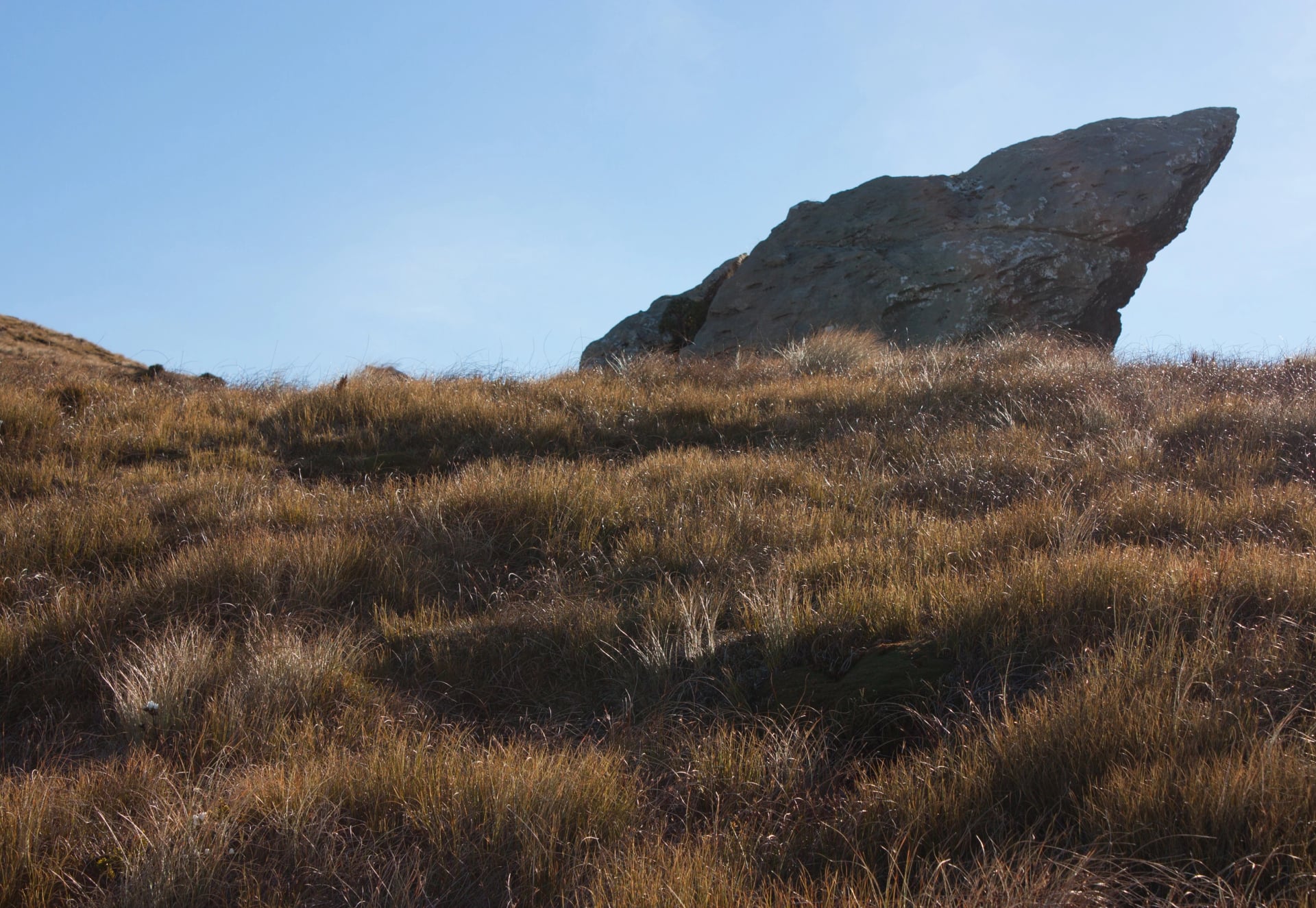
DOC sets out the three days like this:
Rarakau car park to Ōkaka Lodge: 20.6 km and 7 to 9 hours, through coastal forest and beech to the lodge above the tree line
Ōkaka Lodge to Port Craig Lodge: 20.7 km and 7 to 9 hours, along the exposed ridge and down to the tramline
Port Craig Lodge to Rarakau: 20.2 km and 5 to 7 hours, back along the coast
Two of the historic viaducts are closed. DOC shut the Percy Burn and Edwin Burn viaducts in February 2026 because the century-old bridges are deteriorating, and walkers now take a bypass track and bridge. The Sand Hill viaduct is still open, and DOC's notice on the closures has the latest.
On the last day, Blowholes Beach is passable only at low tide, so low tide sets the last day's start. For Fiordland with a hot shower at the end of each day, this is the Great Walk we would choose first, and the full route map comes with our package.
The Fiordland tracks
The Milford, Routeburn and Kepler are the best known of the eleven, and their huts are booked directly with DOC. We don't arrange these three, so here is what you need to know to get a hut yourself.
Milford Track
The Milford Track runs from the head of Lake Te Anau to Milford Sound/Piopiotahi, and almost everything about it is fixed: one direction, three named huts and four days. A boat cruise of 1 hour 15 minutes from Te Anau Downs drops you at Glade Wharf, and the first afternoon is a short walk beside the Clinton River to Clinton Hut.
At a glance | |
Distance | 53.5 km one way |
Time | 4 days and 3 nights, no shorter or longer |
Direction | One way only, Glade Wharf to Sandfly Point |
Where you sleep | Clinton, Mintaro and Dumpling huts, 40 bunks each, no camping |
Season | 1 November 2026 to 30 April 2027, last start 28 April |
Booking | DOC, with the boats at each end booked at the same time |
Nearest town | Te Anau |
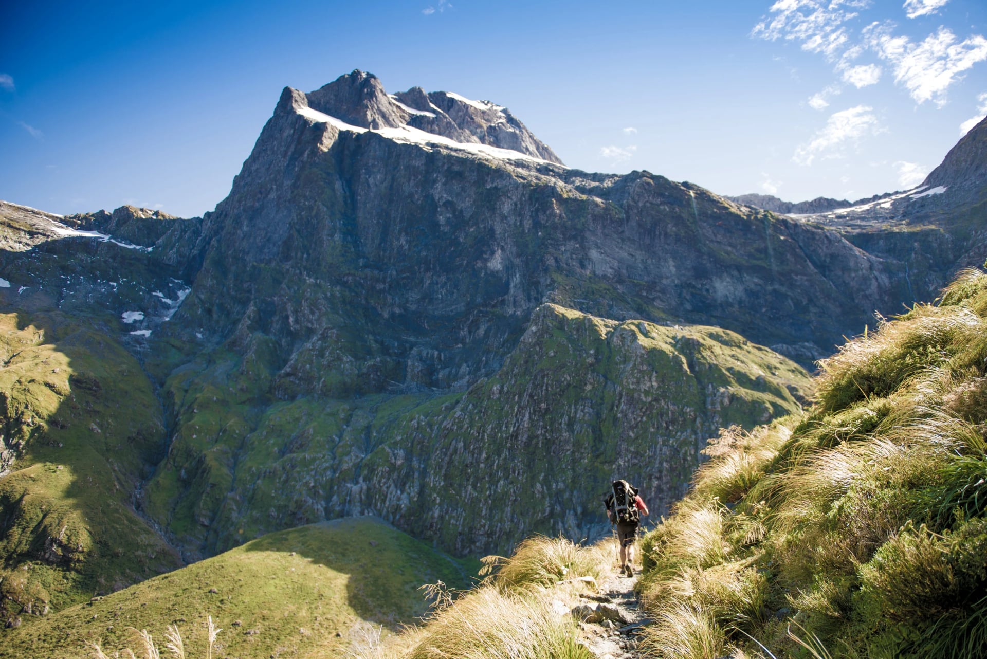
Day two follows the Clinton River to its source at Lake Mintaro, with the first view of McKinnon Pass and the Pompolona icefield. Day three climbs over 500 m to Omanui/McKinnon Pass, then drops 1,000 m past the waterfalls of the Roaring Burn to Dumpling Hut. Leave time for the side trip to Sutherland Falls, 1 hour 30 minutes return, which DOC calls a definite highlight.
The huts have bunks, heating and basic cooking facilities, but no showers and no utensils, and nothing is for sale, so you carry food for the whole walk. The Milford is not an all-weather track: heavy rain floods the Clinton and Arthur valleys. Avalanche danger can last into December, and DOC keeps the risk low in season, at times by flying walkers over the danger sections at their own cost.
Map
Routeburn Track
The Routeburn can be walked either way across the Southern Alps, and most walkers take 3 days and 2 nights, sleeping at Routeburn Falls and Lake Mackenzie huts. From the Routeburn Shelter end, the track climbs through beech forest to Routeburn Falls Hut on the edge of the bushline.
At a glance | |
Distance | 32 km one way |
Time | 2 to 4 days, most take 3 |
Start and finish | Routeburn Shelter near Glenorchy, or The Divide on the Milford road |
Where you sleep | 3 huts (Routeburn Flats, Routeburn Falls, Lake Mackenzie) and 2 campsites |
Season | 1 November 2026 to 30 April 2027 |
Booking | DOC, huts and campsites |
Nearest towns | Queenstown for the Routeburn Shelter, Te Anau for The Divide |
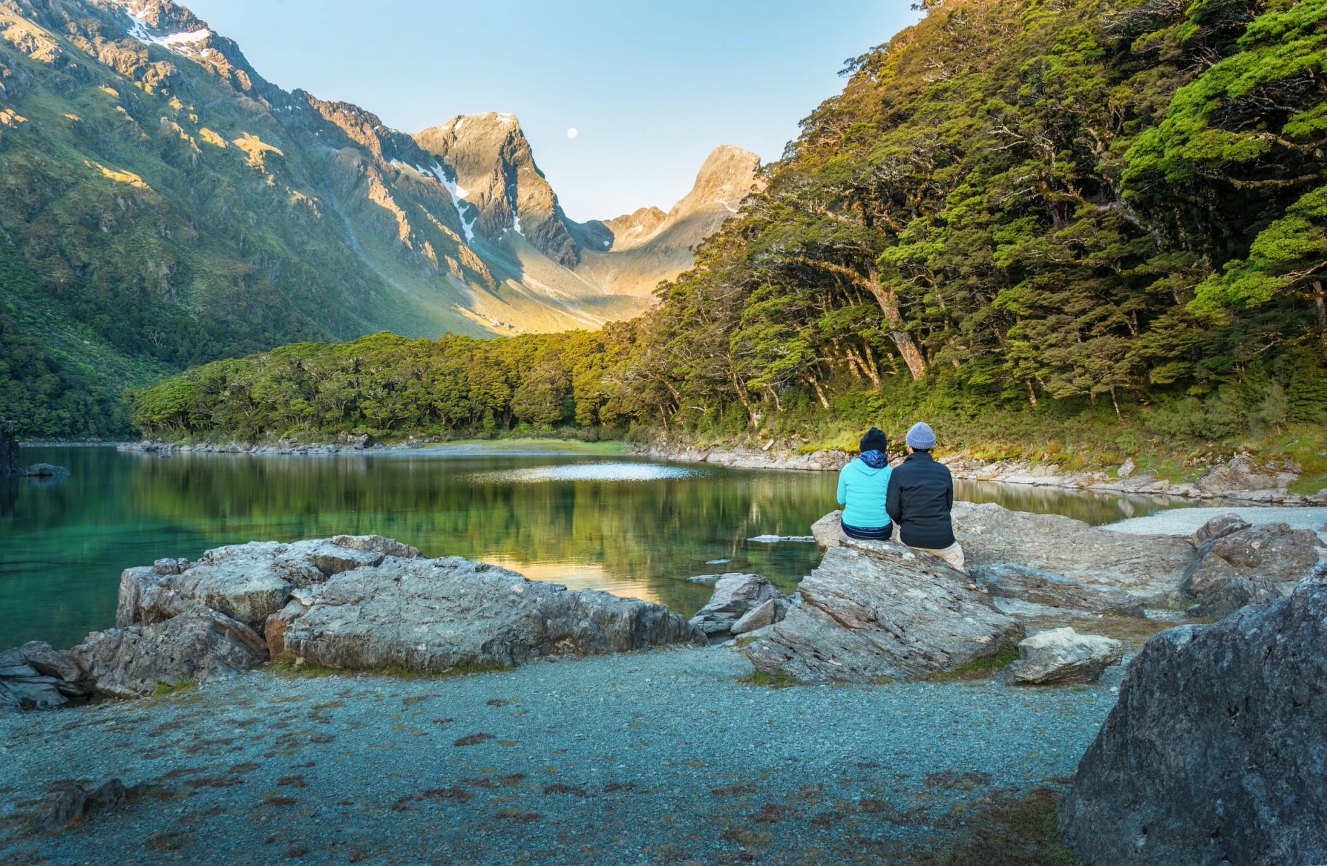
The big day climbs through tussock to Harris Saddle/Tarahaka Whakatipu, the highest point, where Conical Hill is the side climb worth making: on a clear day you see down the Hollyford valley to the Tasman Sea. The track then traverses the exposed Hollyford Face, known for its alpine plants, and drops to Lake Mackenzie. The last day passes Earland Falls on the way to The Divide, with a detour up Key Summit.
The ends are 325 km apart by road, so book transport for both ends when you book the huts. Starting from Queenstown, the Routeburn Shelter is 25 km from Glenorchy, partly on unsealed road; from Te Anau, The Divide is 85 km away. Snow and ice on the Hollyford Face and Harris Saddle can be dangerous, and DOC runs a Harris Saddle webcam.
Map
Kepler Track
The Kepler needs no boat transfers: the loop starts and finishes near Te Anau, and most walkers take 4 days and 3 nights. The first day follows the lake to Brod Bay, then climbs under limestone bluffs and above the bushline to Luxmore Hut.
At a glance | |
Distance | 60 km loop |
Time | 3 to 4 days, most take 4 |
Start and finish | Kepler Track car park near Te Anau, or Rainbow Reach |
Where you sleep | 3 huts (Luxmore, Iris Burn, Moturau) and 2 campsites (Brod Bay, Iris Burn) |
Season | 27 October 2026 to 30 April 2027 |
Booking | DOC, huts and campsites |
Water | None reliable between Luxmore Hut and Iris Burn |
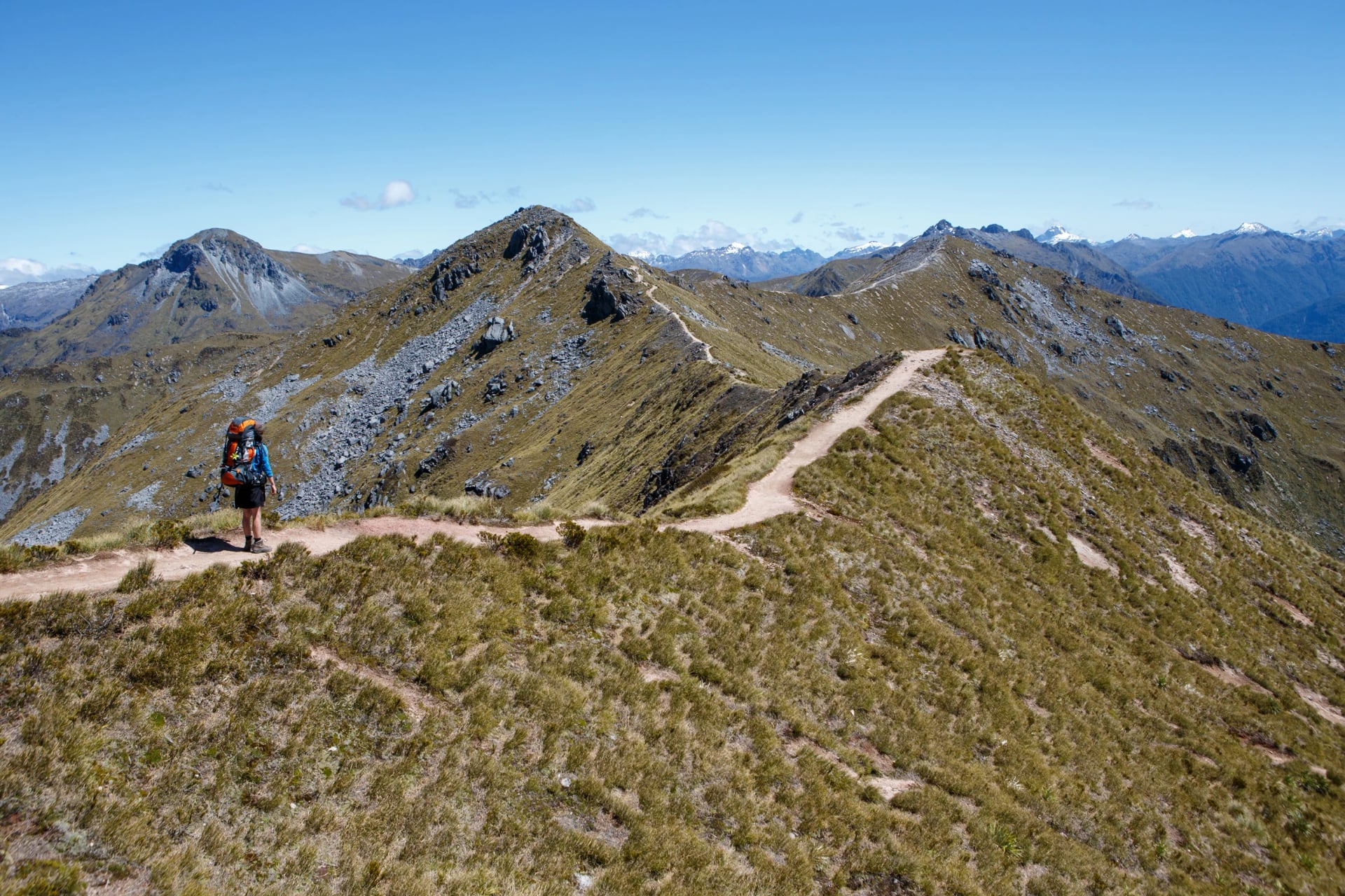
From Luxmore Hut, Luxmore Cave is a 20-minute return trip. The next day is 14.6 km along the tops to Iris Burn, 5 to 6 hours with views across the south fiord of Lake Te Anau to the Murchison Mountains, so fill your bottles before you leave.
The third day winds through a gorge and podocarp forest to Moturau Hut on the beach of Lake Manapouri. On the last morning you cross a wetland and follow the Waiau River to the swing bridge at Rainbow Reach, where a shuttle bus runs to Te Anau. Short of time? Walk to Luxmore Hut and back as a day walk.
Map
The other six
Six more, from a lake in Te Urewera to an island in the far south, and each has something none of the others do.
Lake Waikaremoana
The track lies in Te Urewera, the homeland of Ngāi Tūhoe. Te Urewera is a legal person in New Zealand law, the first natural feature to become a legal entity in its own right. The walk is not a circuit: you go from Onepoto in the south to Hopuruahine in the north, or the other way.
At a glance | |
Distance | 46 km one way |
Time | 3 to 4 days |
Start and finish | Onepoto to Hopuruahine, either way |
Where you sleep | 4 huts (Panekire, Waiopaoa, Marauiti, Waiharuru) and 5 campsites |
Season | All year; water taxis usually October to April |
Booking | DOC, all year, same fee for every walker |
Nearest towns | Wairoa and Gisborne |
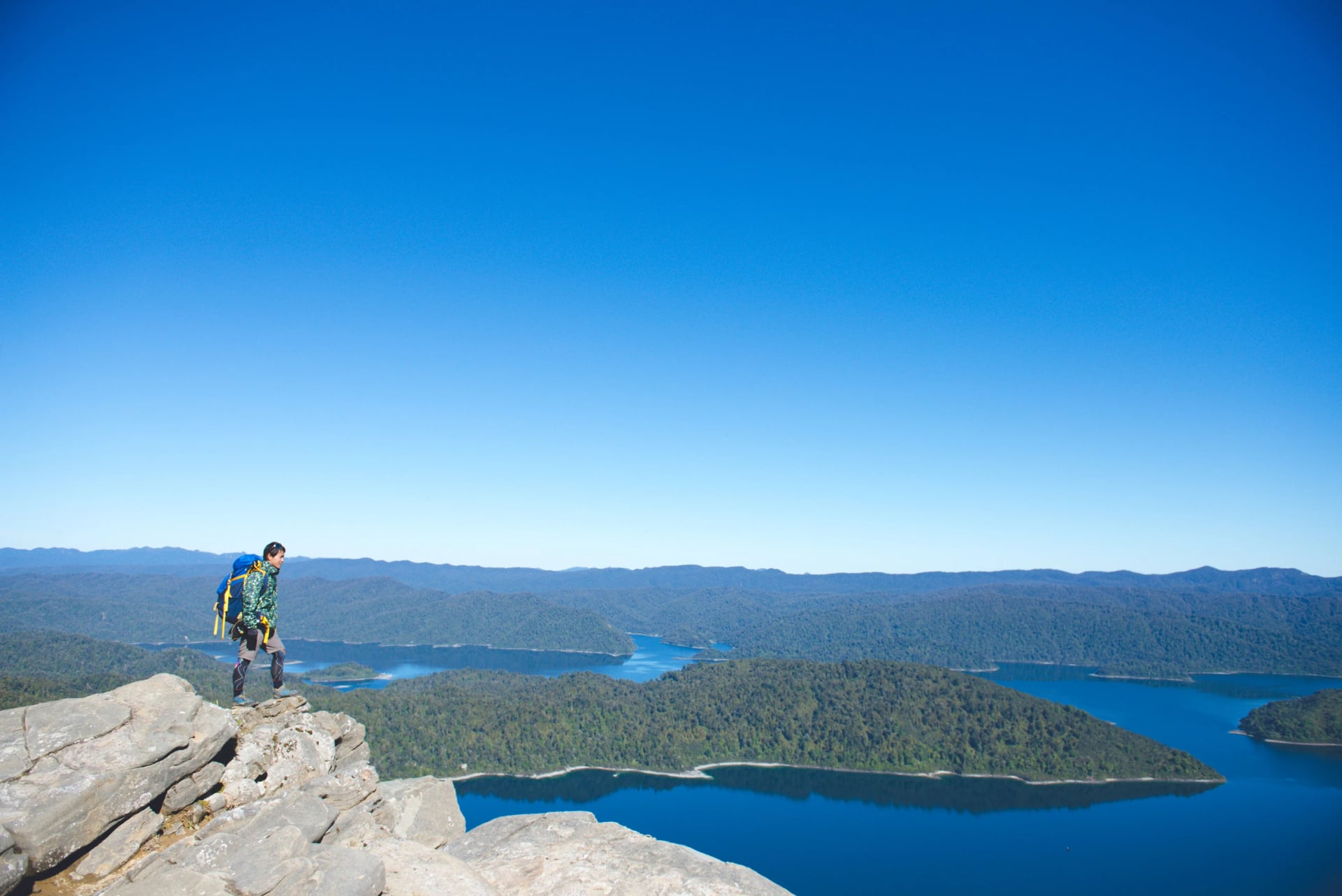
From Onepoto, the first day is the hardest, a steady climb onto Panekire Bluff and along the ridge, with the lake far below. After that the track stays near the shore, through rainforest and past quiet bays, and Korokoro Falls is worth the detour, about 1 hour return.
Tūhoe wardens are stationed at the main huts in peak season, but the huts have no gas cooking, lighting or toilet paper, so carry a stove. Water taxis from Te Kura Whenua at Aniwaniwa serve both ends, usually from October to April only.
Map
Tongariro Northern Circuit
The circuit crosses lava flows from Ngāuruhoe, the youngest from 1949 and 1954, past Red Crater and the Emerald Lakes. Climbing the summits is disrespectful to Ngāti Tūwharetoa, who gifted these sacred peaks to the nation, so the track goes around them, not up.
At a glance | |
Distance | 35.5 km in 2026/27, with one section closed |
Time | 3 to 4 days |
Start and finish | Mangatepopo car park to Whakapapa Village |
Where you sleep | 3 huts (Mangatepopo, Oturere, Waihohonu) with campsites nearby |
Season | 23 October 2026 to 30 April 2027 |
Booking | DOC, huts and campsites booked all year |
Nearest towns | National Park Village and Tūrangi |
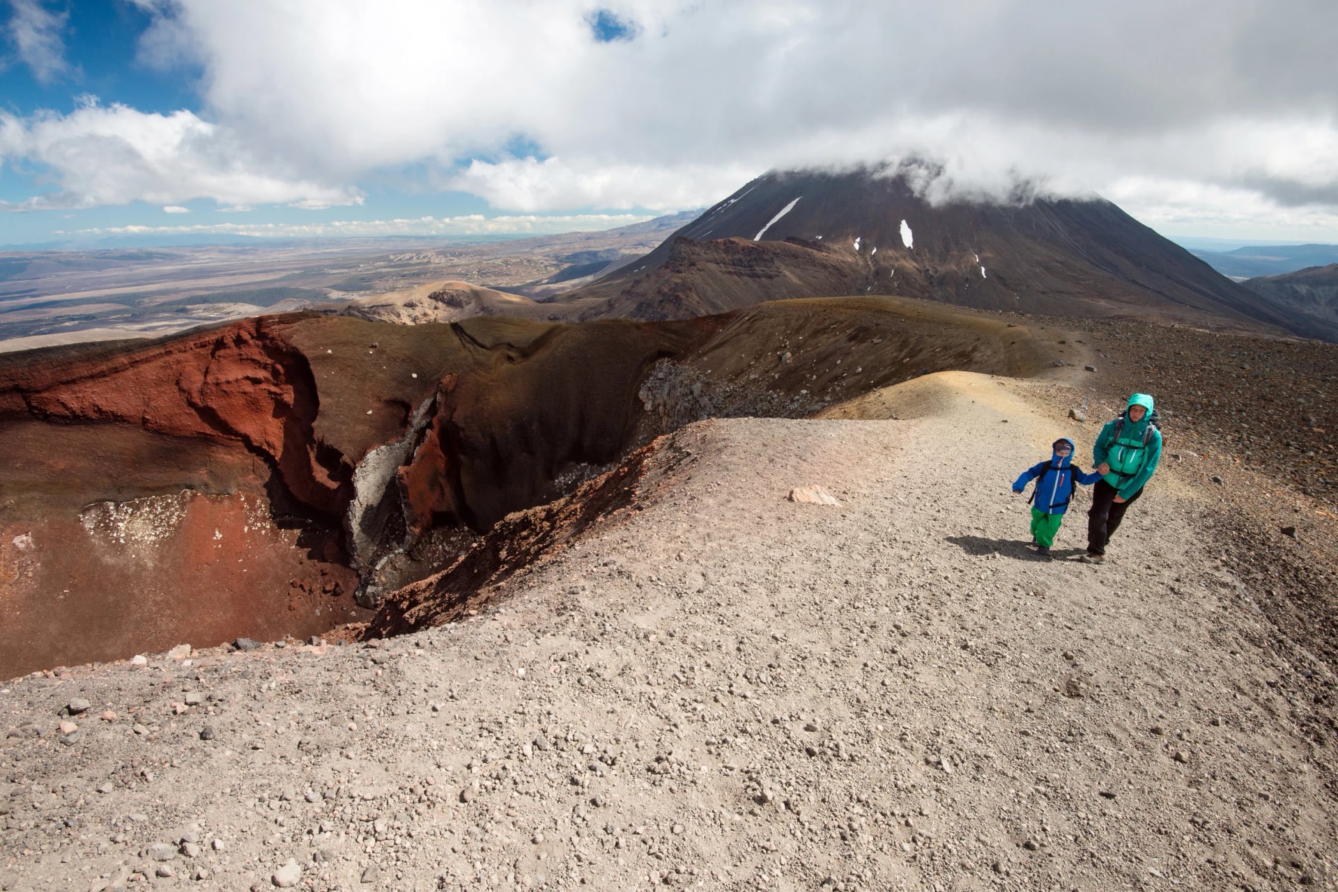
In 2026/27 it is not a full loop. DOC has closed the section from Whakapapa Village to Mangatepopo Hut after the 2025 Tongariro fire, so you start at Mangatepopo car park and walk 35.5 km instead of 44.9 km. Oturere Hut is being replaced, and DOC says the Great Walk will run this season.
From Mangatepopo the track climbs to Red Crater, where loose stones make the descent slow, then down to the Emerald Lakes, which fill old explosion pits. The last day passes the Tama Lakes, named after the chief Tamatea, and Taranaki Falls on the way to Whakapapa. No camping is allowed within 500 m of the track, only at the campsites by the huts.
Map
Whanganui Journey
This Great Walk is a canoe trip down the Whanganui River, through remote, bush-clad valleys where waterfalls run down the gorge walls after rain. You hire a canoe from an operator, and DOC says the trip suits people with good fitness and confidence in a canoe, so it is not one for beginners.
At a glance | |
Distance | 145 km from Taumarunui, or 88 km from Whakahoro |
Time | 5 days, or 3 days for the shorter trip |
Start and finish | Taumarunui or Whakahoro, to Pipiriki |
Where you sleep | John Coull Hut, Tīeke Kāinga and riverside campsites |
Season | 1 October 2026 to 30 April 2027 |
Booking | DOC, huts and campsites, same fee for every paddler |
Nearest towns | Taumarunui and Whanganui |
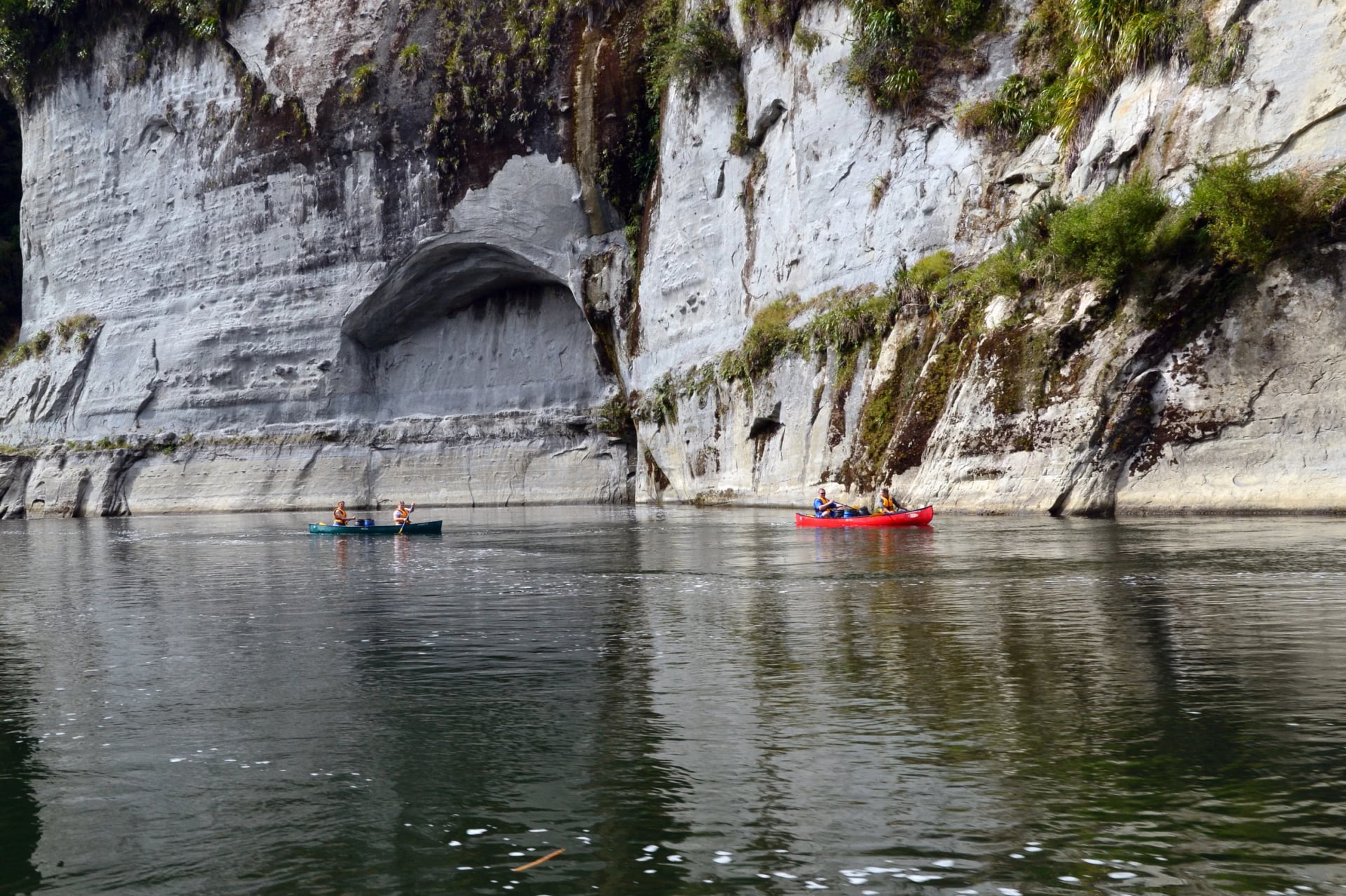
Many paddlers choose the shorter trip from Whakahoro, which DOC calls the most scenic section. At Tīeke Kāinga you stay on a marae, a Māori meeting ground, and John Coull Hut is the other Great Walk hut on the river. From the river, a 1 hour 30 minute return walk leads to the Bridge to Nowhere, standing alone in the bush.
River water is untreated, so boil or treat it before you drink. At night, listen for brown kiwi calling from the bush above the campsites.
Map
Heaphy Track
The Heaphy runs from Brown Hut in Golden Bay to Kohaihai on the West Coast, and the landscape changes almost every day: beech forest, the open tussock of the Gouland Downs, then nīkau palms and surf. Great spotted kiwi, roroa, live on the downs.
At a glance | |
Distance | 78.4 km one way |
Time | 4 to 6 days on foot |
Start and finish | Brown Hut in Golden Bay to Kohaihai near Karamea |
Where you sleep | 6 huts and 9 campsites |
Season | All year; bikes also from 1 May to 30 November |
Booking | DOC, all year |
Nearest towns | Nelson for Brown Hut, Karamea for Kohaihai |
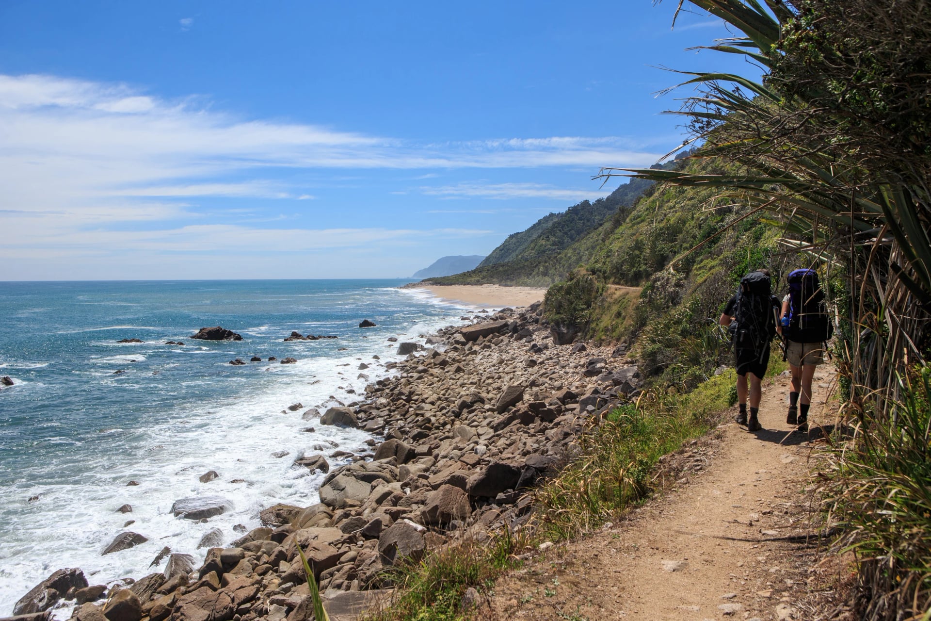
Perry Saddle Hut sits at 880 m, and a deep, cold pool in Gorge Creek draws swimmers near the hut. From James Mackay Hut the view runs to the Tasman Sea, and lower down the track crosses the 101 m Lewis River swing bridge before following the coast to Kohaihai.
The ends are far apart: Brown Hut is 156 km from Nelson, about 2 hours 25 minutes by road, and Kohaihai is 15 km from Karamea. Mountain bikers can ride it from 1 May to 30 November, so from December to April it is walkers only.
Map
Paparoa Track
The Paparoa Track crosses the Paparoa Range from the Smoke-ho car park near Blackball to Punakaiki, over alpine tops and limestone karst and down the Pororari River gorge. It is shared with mountain bikers: walkers usually take 3 days and riders 2, and e-bikes are banned on the Paparoa.
At a glance | |
Distance | 55 km on foot, 56.2 km by bike |
Time | 3 days walking, 2 days riding |
Start and finish | Smoke-ho car park near Blackball to the Pororari River car park, Punakaiki |
Where you sleep | 3 huts (Ces Clark, Moonlight Tops, Pororari), no campsites |
Booking | DOC, all three huts in advance |
Bikes | Mountain bikes allowed, no e-bikes |
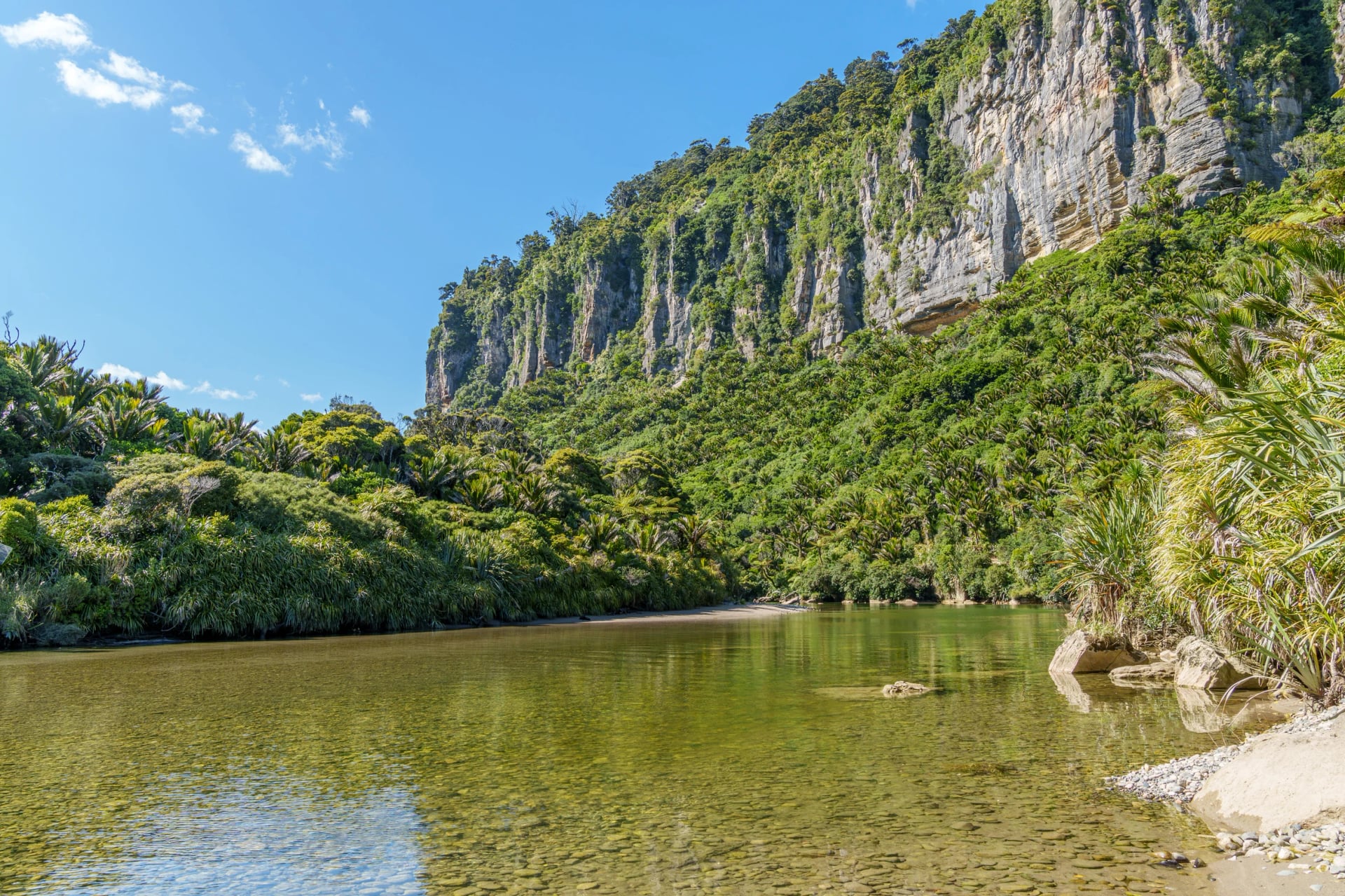
Ces Clark Hut sits on the bushline, with views to Lake Brunner and, on a fine day, Aoraki/Mount Cook. Moonlight Tops Hut is the sunset hut, facing the Tasman Sea, and the next day runs along an escarpment above Pike Stream. The Pike29 Memorial Track, for the 29 men lost in the Pike River Mine, joins the range here.
On the way down to Pororari Hut, look out for the Lone Hand rock formation. For a 2-night trip, DOC suggests Moonlight Tops and Pororari huts, and you need a bed the night before, as camping at the Smoke-ho car park is not allowed.
Map
Rakiura Track
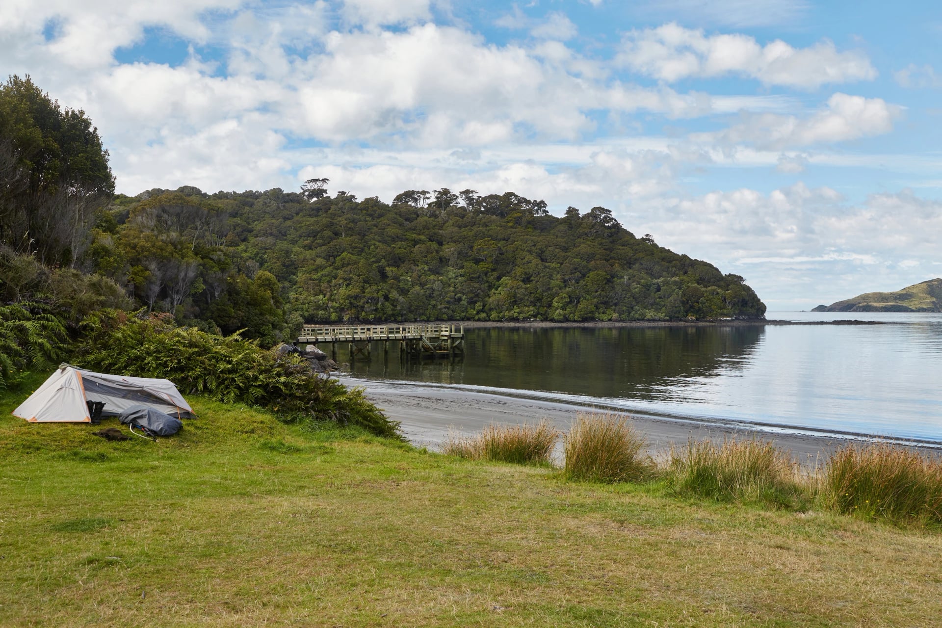
The Rakiura Track loops from Oban on Stewart Island, along open coast and the sheltered shore of Paterson Inlet. Getting there is part of the trip: Rakiura is a 20-minute flight from Invercargill, or an hour on the ferry from Bluff.
At a glance | |
Distance | 32 km loop |
Time | 3 days |
Start and finish | Oban, via Lee Bay |
Where you sleep | Port William and North Arm huts, plus campsites |
Season | All year |
Booking | DOC, all year, up to 2 nights at each hut or campsite |
Getting there | A flight from Invercargill or the ferry from Bluff |
From the giant chain sculpture at Lee Bay, the track follows the coast to Maori Beach, where the creek can be waded at low tide. It passes sawmilling relics on the way to Port William, and birdsong follows you the whole way: tītī, little blue penguins, kākā, kākāriki and the island's own kiwi, the tokoeka.
Map
Which to pick?
Pick by what you want to see, not by distance:
Beaches and swimming: the Abel Tasman, bay after bay
A lodge instead of a hut: the Hump Ridge
The famous one: the Milford, booked the day the season opens
Alpine views in a short trip: the Routeburn, in 2 or 3 days
Volcanoes: the Tongariro Northern Circuit
A river instead of a trail: the Whanganui Journey
Kiwi country: the Rakiura, on Stewart Island
On a mountain bike: the Paparoa, or the Heaphy from May to November
Still deciding? Our self-guided walks cover the Abel Tasman, the Queen Charlotte and the Hump Ridge. Or book a free video call, and we'll help you choose between them.
Where you'll sleep
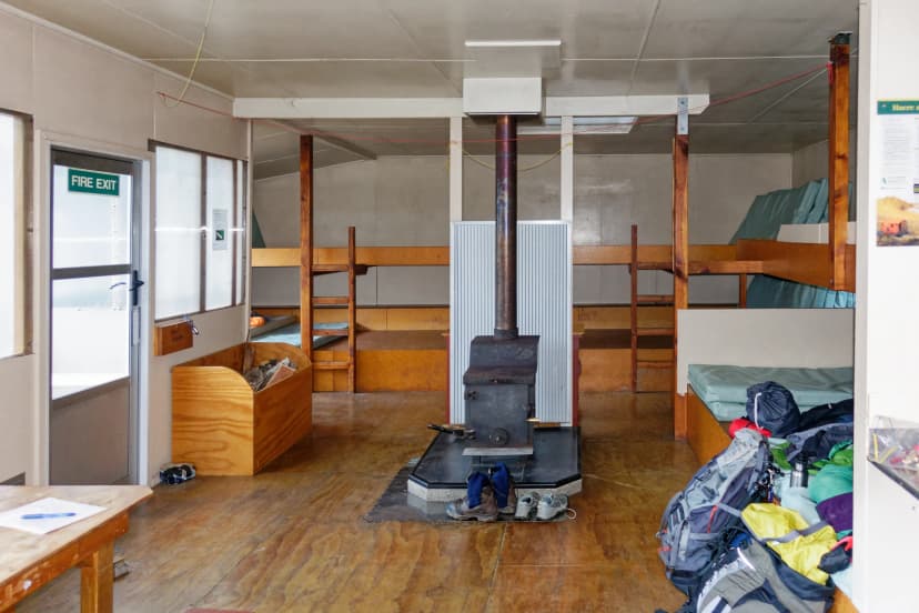
The bed decides what goes in your pack. In a DOC hut you carry every meal, plus a sleeping bag and cooking gear, while a lodge lets you walk with much less. These are the four kinds of place you sleep on a Great Walk trip.
Wildlife to watch for
New Zealand's only native land mammals are bats, so the wildlife you meet on a Great Walk is mostly birds, with seals on the coast. Five to look out for on the way.
The mountain parrot of the South Island, seen on the Kepler tops and around the Milford Track. Kea are curious and will investigate anything left outside a hut, boots and packs included.
Fun fact: DOC counts kea among the smartest birds in the world, famous for solving problems. Only 1,000 to 5,000 are thought to be left.
Fun fact first: the Ngāi Tahu name for the Stewart Island kiwi, tokoeka, means "weka with a walking stick".
The weka itself is a large brown bird that cannot fly, found in the Marlborough Sounds, Fiordland and on the upper West Coast. DOC describes its personality as "famously feisty and curious", so keep your food inside.
New Zealand fur seals rest on the rocks along the Abel Tasman Coast Track. Stay at least 20 m away, as DOC advises, and never stand between a seal and the sea.
Fun fact: kekeno were once close to extinction. They are now the most common seal in New Zealand, and still increasing.
The Stewart Island kiwi lives in Rakiura National Park. On the Rakiura Track, listen out for its call and look for its footprints.
Fun fact: a kiwi cannot fly, has loose, hair-like feathers and no tail at all.
A big blue-green rail with a red beak, living on the Gouland Downs that the Heaphy Track crosses. Look out for the takahē sign between Saxon and Perry Saddle huts.
Fun fact: takahē were presumed extinct for nearly 50 years until a search party found them in 1948, in the Murchison Mountains across Lake Te Anau from the Kepler Track. DOC adds that they can produce 9 m of droppings a day.
When to go?
The Great Walks season runs roughly from late October to the end of April, and each track has its own dates. The Whanganui opens on 1 October, the Tongariro Northern Circuit on 23 October, the Kepler on 27 October, and the Milford and Routeburn on 1 November; all close on 30 April 2027. The Abel Tasman, Heaphy, Rakiura and Waikaremoana are booked all year.
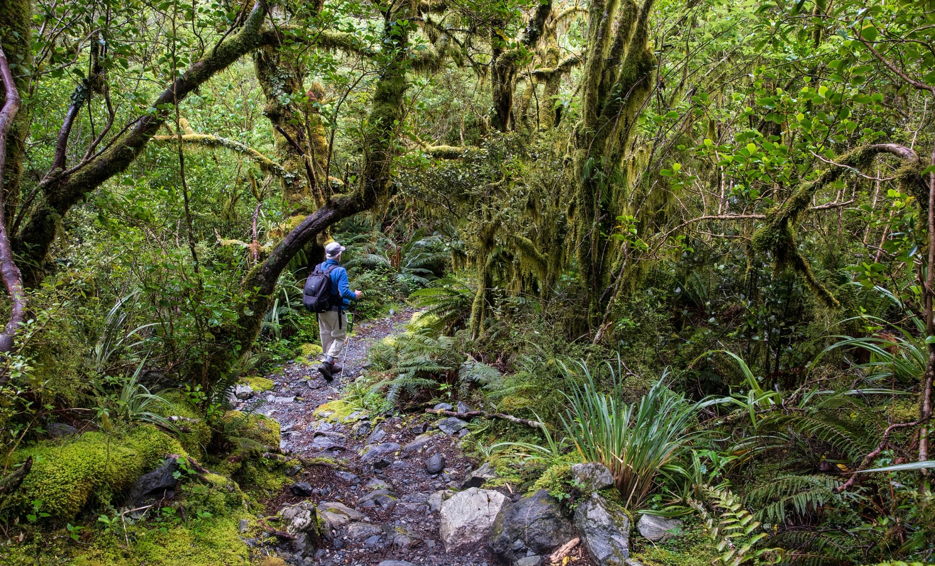
Outside the season, winter walkers need alpine experience: DOC asks for alpine, river-crossing and navigation skills. Facilities are reduced, and on the Milford some bridges are taken out for winter. Fiordland gets up to 9,000 mm of rain a year, in any month, so check the MetService mountain forecast each morning.
Hut fees follow the same calendar. DOC charges its summer rate from October to April, and huts cost less in shoulder and winter months: May, June and September, then July and August.
Getting to the trailheads
Abel Tasman and Heaphy: fly into Nelson
Milford, Routeburn and Kepler: fly into Queenstown, then travel on to Te Anau
Hump Ridge: fly into Invercargill, about 1 h 15 by road from the track
Rakiura: fly into Invercargill, then a short flight or the ferry from Bluff
The North Island three: DOC lists Wairoa and Gisborne for Waikaremoana, National Park Village and Tūrangi for Tongariro, and Taumarunui and Whanganui for the river
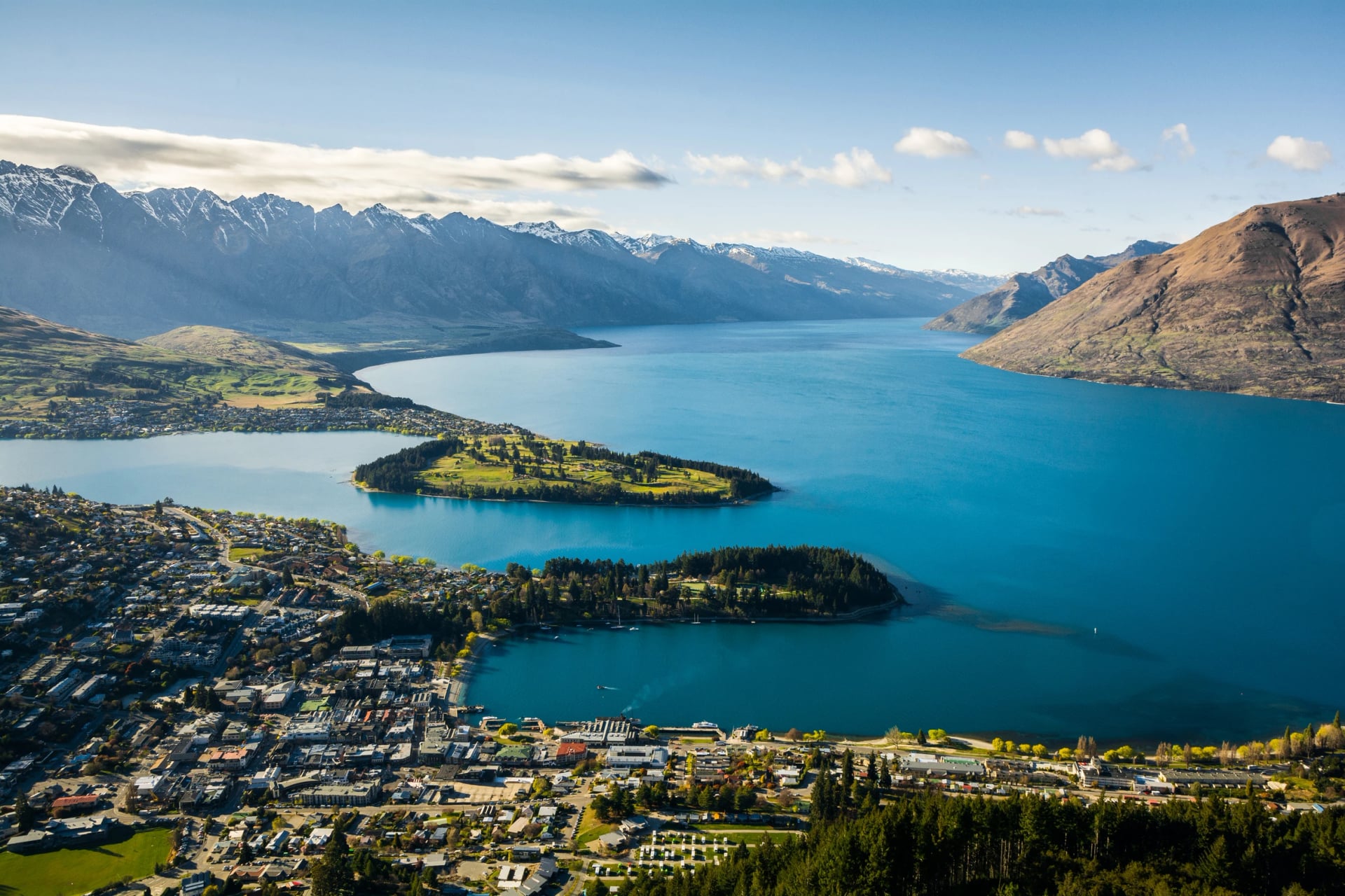
Search flights on Skyscanner. Buses between the towns are on InterCity.
Or contact us for private transfers between towns, and to and from the airports.
No road reaches either end of the Milford, so the boats are booked with the huts. For the Hump Ridge, the Trust's office arranges transport from Invercargill, Te Anau and Queenstown.
How to book
Great Walks booking runs through DOC for ten of the eleven tracks, and through the Hump Ridge Trust for the other:
Check your track's season dates. In the season every hut and campsite needs a booking; outside it, DOC bookings are mostly not required.
Book DOC huts and campsites online, on DOC's booking site. The Hump Ridge books through the Hump Ridge Trust instead.
Book transport at the same time as the huts, especially the Milford boats and the Routeburn's two ends.
Pay the right rate. New Zealand residents and international walkers pay different fees, and DOC checks.
Carry your booking. Without one, DOC can charge a penalty or turn you away if the hut is full.
For the Abel Tasman, the Hump Ridge or the Queen Charlotte, tell us your dates and we'll make the bookings for you.
Know before you arrive
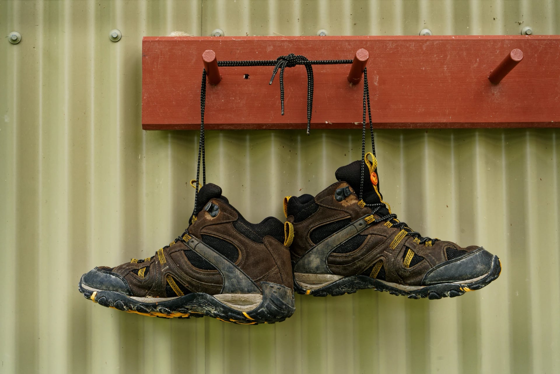
New Zealand checks hiking gear at the border. MPI treats used boots, tents and camping kit as risk goods, so clean and declare your boots and tents on arrival; MPI's guide to declaring items has the full list.
On the track, treat hut water before you drink it: on the Milford, DOC's tap water is untreated and should be boiled. There is no phone signal on the Milford Track, so carry a distress beacon, and remember that the emergency number is 111.
English is spoken everywhere, and many places carry two names, English and te reo Māori, such as Milford Sound/Piopiotahi and Ship Cove/Meretoto.
Plan each day with the Mountain Safety Council's Plan My Walk, which lets you share your plan with someone at home. For a DOC hut night, pack:
Layers: a rain jacket and a warm layer, whatever the forecast
Sleep: a 3 to 4 season sleeping bag
Kitchen: a pot, utensils and food for every meal, plus spare
Repellent: for the sandflies at the lakes and bays
Papers: your booking confirmation and ID
Too much to grasp? Skip the preparation and book a call with one of our agents, who will explain everything in more detail. Book your walk with us and you also get proper packing checklists, ready-made maps and our support along the way.
What to eat
Food is part of the trip either side of the track, and each region has its own speciality. Five worth trying near the Great Walks.
Havelock, in the Marlborough Sounds, is the centre of much of New Zealand's green-lipped mussel industry, so try them there or in Picton around the Queen Charlotte Track.
Fun fact: Havelock calls itself the Greenshell mussel capital of the world.
Whitebait folded into egg and a little flour, fried, and often served between slices of buttered bread. The West Coast rivers near the Heaphy and Paparoa give the country's biggest catches.
Fun fact: the catching season runs only from 1 September to 30 October, so fresh whitebait is a spring treat.
Battered, with chips, in Invercargill or on Stewart Island after the Hump Ridge or the Rakiura. Blue cod is found only in New Zealand and is most common around Southland.
Fun fact: blue cod is not a cod at all. Across Foveaux Strait, Bluff oysters are harvested from March to August.
A Māori feast cooked in the ground: food goes on stones heated in a pit, is covered with earth and steams for several hours.
Fun fact: hāngī is still the way to feed a large crowd on special occasions.
A baked meringue with a crisp crust and a soft, light inside, usually topped with fruit and whipped cream.
Fun fact: it was named after the Russian ballerina Anna Pavlova after her 1920s tours, and New Zealand and Australia both claim it.
Frequently Asked Questions



Plan with a hiking expert
Free advice from a team that knows these routes inside out - real people, not a bot

HASSLE-FREE
We handle itineraries, accommodations, and anything else you prefer not to deal with, so you can enjoy a carefree hike.

BOOK WITH CONFIDENCE
We are a financially protected company, fully bonded and insured, keeping your money safe and allowing you to travel with confidence.

TRIED & TESTED ADVENTURES
We picked each walk only after checking it stage by stage, from the boat timetables to the lodge at each stop.

SUPPORT ON THE TRACK
Our support number is in the guidebook we give you, for a missed boat or a change of plan. In an emergency, dial 111, free from any phone.