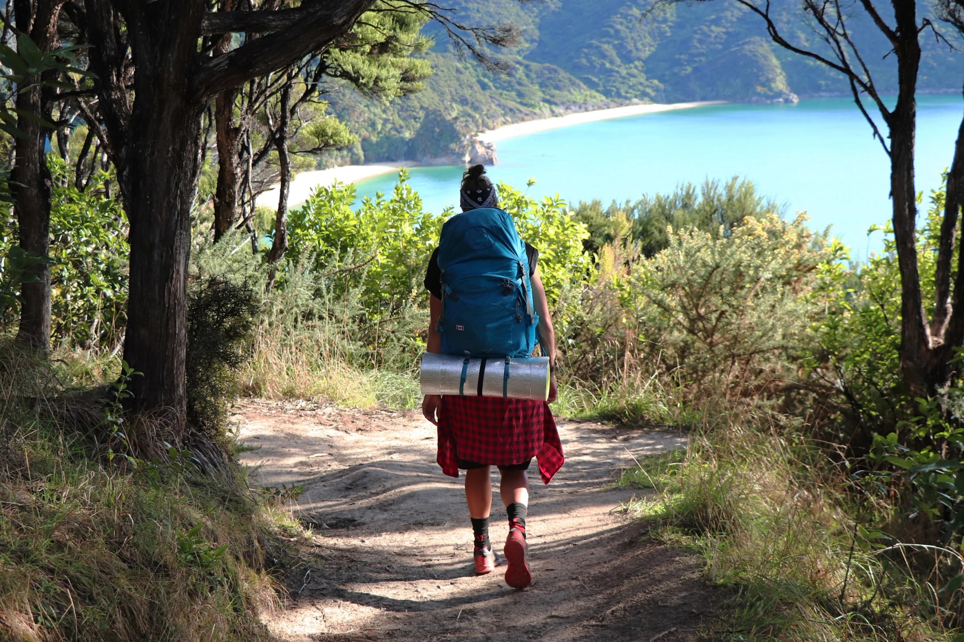
Best Hikes in New Zealand - Which Island, Which Track?
Eleven Great Walks, 950 huts and a day's drive between a volcano and a fiord. The best hikes in New Zealand, sorted by island and by the ground they cross.
Quick links
Don't want to read all this?
We've planned 2,000+ hiking trips. Send your dates, fitness and group size — we'll map the route and book every night.



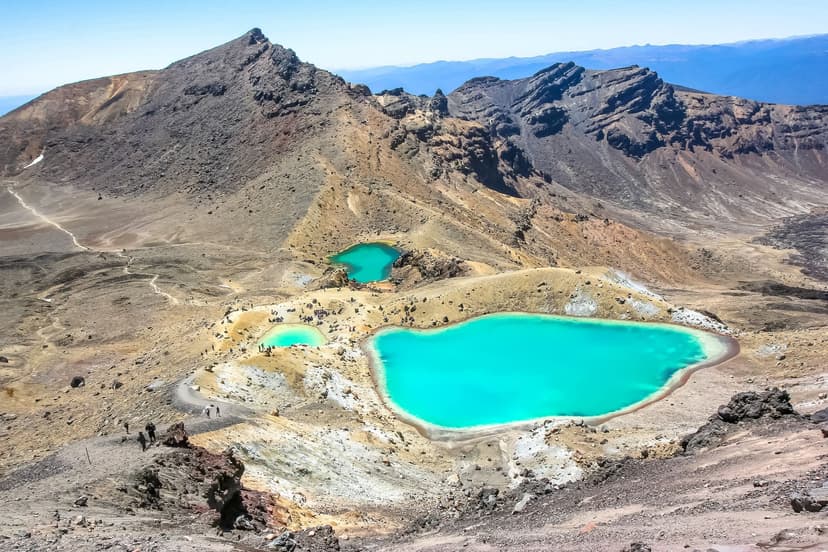
The track climbs out of beech forest onto a ridge of red scoria, and at the top a lake the colour of a swimming pool steams in a crater. Four hundred kilometres south, on the same morning, someone is walking a beach of orange sand with a water taxi waiting at the far end. All of it is New Zealand, and all of it is on a marked track with a hut or a lodge at the end, graded by one government department.
The fact that shapes a trip here is distance. The famous hikes sit a day's drive apart, and most of the best ones are walked out and back from a town, so a hiking holiday in New Zealand is built around bases, not one long trail. This guide sorts the hikes by the landscape they cross, then covers the practical part: how many days, the rules, the dates that fill the lodges, and the way from the airport to the trailhead.
Tramping, not hiking
In New Zealand hiking is called tramping, the paths are tracks and the nights are spent in huts, and the three words tell you how the country works. A track is a formed path with a grade on the sign at the start; a route is unformed ground with markers. The Department of Conservation, DOC to everyone, grades them from easy walking track through intermediate and advanced tramping track to expert route, and the grade is the thing to read, because a Fiordland expert route has steel cables bolted to the rock.
The hut is the other half of the system, and what the rest of the world calls hut-to-hut walking is simply tramping here. DOC looks after more than 950 huts and around 14,000 km of track, so a week of tramping needs no tent. Most huts are first come, first served and paid for with tickets or a pass; a few dozen are booked online.
Eleven tracks are set apart as Great Walks, with bigger huts, rangers in season and a booking day each May for the following summer. The famous one is the Milford Track, 53.5 km in four days to Milford Sound, and its 2026/27 season sold out in 34 minutes on 13 May 2026. The eleven are a family of their own, so this page names them once and leaves the detail to our guide to the Great Walks. The hikes below are the ones the ranking lists are made of: the crossings, the lake tracks and the summits you walk from a town.
When to hike, region by region
One season does not fit the whole country. The north of the North Island is subtropical and walkable all year; the Southern Alps hold snow on the passes until December; Fiordland gets more rain than almost anywhere in the world. The table gives the months we would plan around, by region.
Region | Best months | Watch for |
Northland and Coromandel | All year, driest November to April | Humid summers, winter rain that closes Cathedral Cove |
Tongariro and Taranaki | November to April | Snow and ice from May to October, when DOC advises a guide on the Crossing |
Nelson Tasman and the Marlborough Sounds | October to April | The January school-holiday crush; slippery clay on the Queen Charlotte after rain |
Aoraki Mount Cook and the Southern Alps | December to March | Snow in any month above 1,500 m; avalanches cross the Rob Roy track from May to November |
The Otago lakes | November to April | Roys Peak shut for lambing 1 October to 10 November; Isthmus Peak for fawning 20 November to 20 December |
Fiordland and the south | November to April | Sandflies, and rain that can shut the Milford Road |
Nelson and Blenheim are the sunniest towns in the country, with about 2,500 hours of sun a year, and Milford Sound gets about 6,500 mm of rain, which is why the top of the South Island takes the walking holidays and Fiordland takes the fine days. The mountains make their own weather in any month: the Mountain Safety Council says sunny, rainy and windy in one day, and DOC says snow can fall on Tongariro in any season. The forecast to trust is MetService, the one DOC quotes on its signs.
Winter, from June to August, is not a closed season. The Abel Tasman and the Queen Charlotte are walked all year, Northland stays mild, and the Hooker Valley Track is open with microspikes for the icy shade. What closes is the high ground: the Crossing becomes an expert route, Mueller Hut sits in snow, and the Milford Road shuts behind avalanche risk. Short days are the real limit.
North Island or South Island?
The South Island has most of this list, the North Island has the volcanoes, and the two are a ferry or a one-hour flight apart, so the honest answer for a first trip is one island done properly.
Choose the North Island for the volcanoes and the warm coast. The Tongariro Crossing, the Pouākai tarns and Rangitoto are all within a day of Auckland, and the Coromandel and Northland walks end with a swim. It is the island for a week built around Taupō and the Coromandel, and for the shoulder months, when the north stays mild.
Choose the South Island for the range. Beaches on the Abel Tasman, lodges on the Queen Charlotte, glaciers at Aoraki Mount Cook, the Otago summits and Fiordland, all inside a thousand kilometres of road, with eight of the eleven Great Walks and the three walks we arrange. It is the island for ten days or more; with less, take the top of it, Nelson to Picton, and leave the fiords for next time.
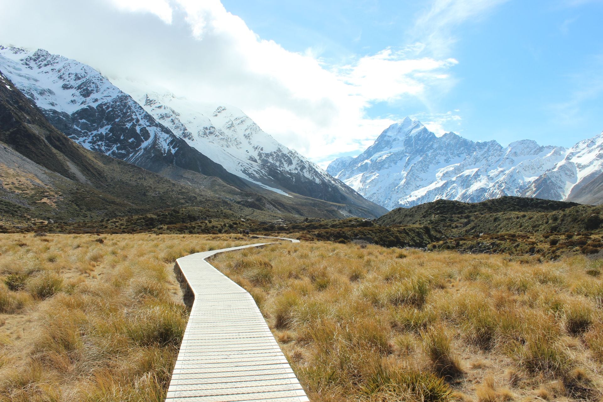
Three verdicts the lists get asked for. The easiest walk with a big view is the Hooker Valley Track, three hours on a formed path under the highest mountain in the country. The hardest walk in this guide is Gertrude Saddle, an expert route with cables. The walk for a first morning in the country is Rangitoto, two hours from the Auckland ferry.
The best hikes, by landscape
Lists of the best hikes in New Zealand rank by fame. This one sorts by what you walk through, because the choice between a volcano, a fiord and a beach is the real decision, and each landscape has its own season, base town and rules. Six landscapes, and in each the two or three walks that earn the drive, with DOC's own distances and times.
See every hike on one map, coloured by landscape:
Red pins: the volcanoes
Blue: fiord and rainforest
Orange: coast and bays
Purple: glacier valleys and the Southern Alps
Turquoise: lakes and tussock
Green: forest and river
Volcano
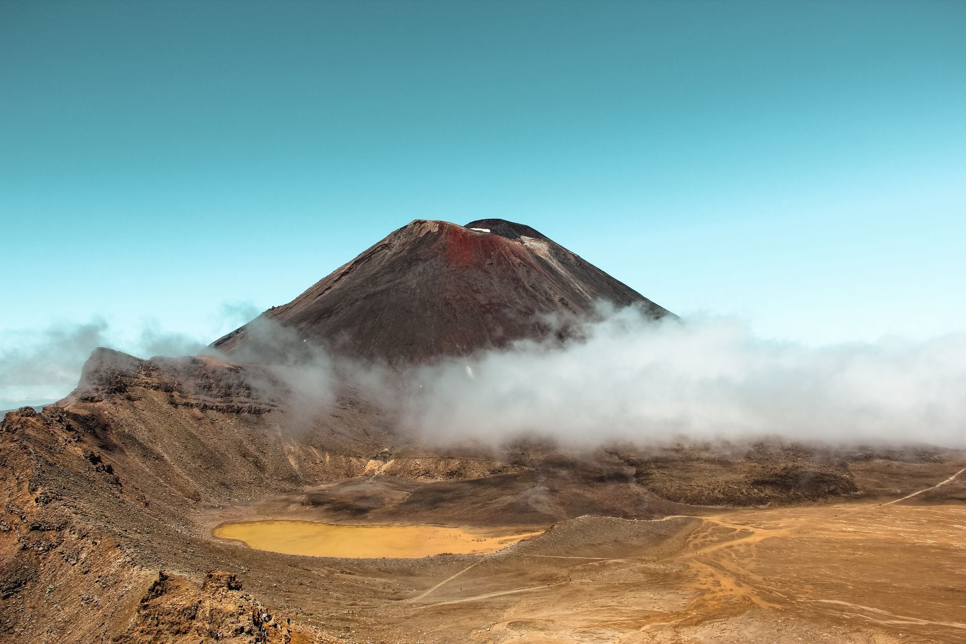
The centre of the North Island is a plateau of three volcanoes, and the walking is across ground that is still warm. Steam rises beside the path, the lakes are acid, and the summits are sacred to the iwi who gifted them to the nation in 1887.
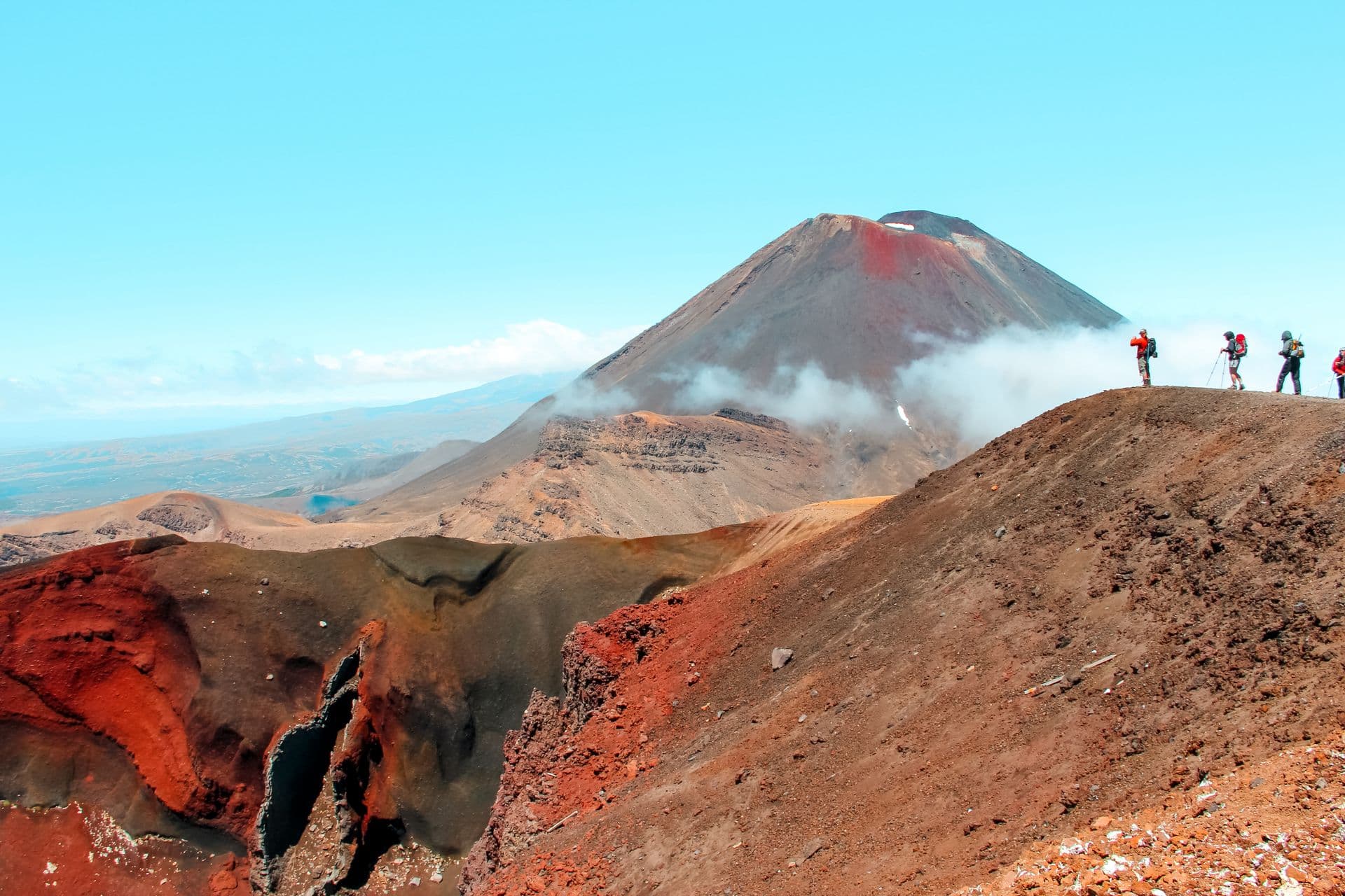
The Tongariro Alpine Crossing is the one everybody comes for: 20.2 km one way from the Mangatepōpō road end at 1,120 m to Ketetahi, over the Red Crater at 1,886 m and down past the Emerald Lakes, in 7 to 8 hours between November and April. It is an intermediate tramping track in summer and an expert route in winter, when DOC says a guide is the best way to do it.
Two rules shape the day. Parking at the road ends is limited to four hours, so almost everyone books a shuttle, and a free DOC booking is required to use one. And the lakes are tapu: kaumātua ask that nobody touches or enters the water, and the iwi ask the same of Ngāuruhoe, the cone beside the track that the films called Mount Doom, which has no track to its summit.
Fires in November 2025 burned the ground beside the Crossing, and a ten-year rāhui keeps walkers on the track. For a first morning on the plateau, the Taranaki Falls loop from Whakapapa village is 6 km and two hours to a 20 m fall over a lava flow.
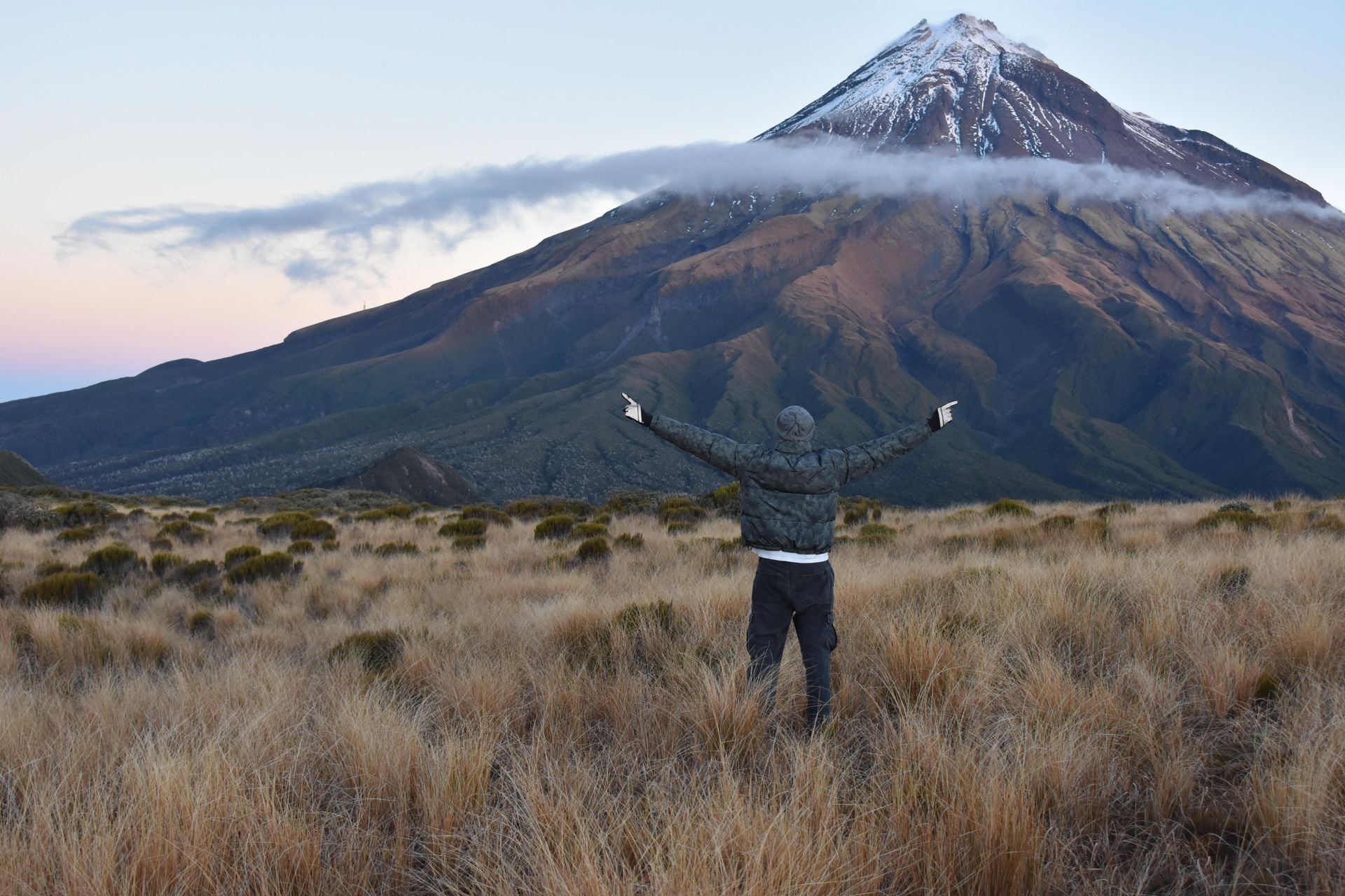
Taranaki is the other volcano, and the Pouākai Crossing is its best day: 19 km from North Egmont to the Mangorei Road end in 7.5 to 9.5 hours, an advanced tramping track over the Pouākai range with the mountain in view most of the way. The reward is a line of tarns that mirror the cone on a still morning. The summit climb is a different thing, 1.6 km of vertical over 6.3 km, which DOC reserves for fit, equipped parties between January and April.
Rangitoto is the volcano you can walk before lunch. It rose out of the Hauraki Gulf about 600 years ago, the ferry from downtown Auckland takes 25 minutes, and the summit track is 7 km return over black lava through the largest pōhutukawa forest in the world, with no shade and no water on the island.
None of these three are on our tours. The Crossing is a day's drive from anything else in this guide, so treat it as a day out from Taupō or National Park village, with the shuttle booked a week or two ahead in summer.
Fiord and rainforest
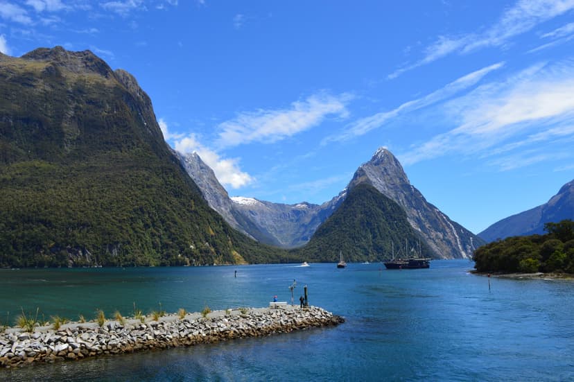
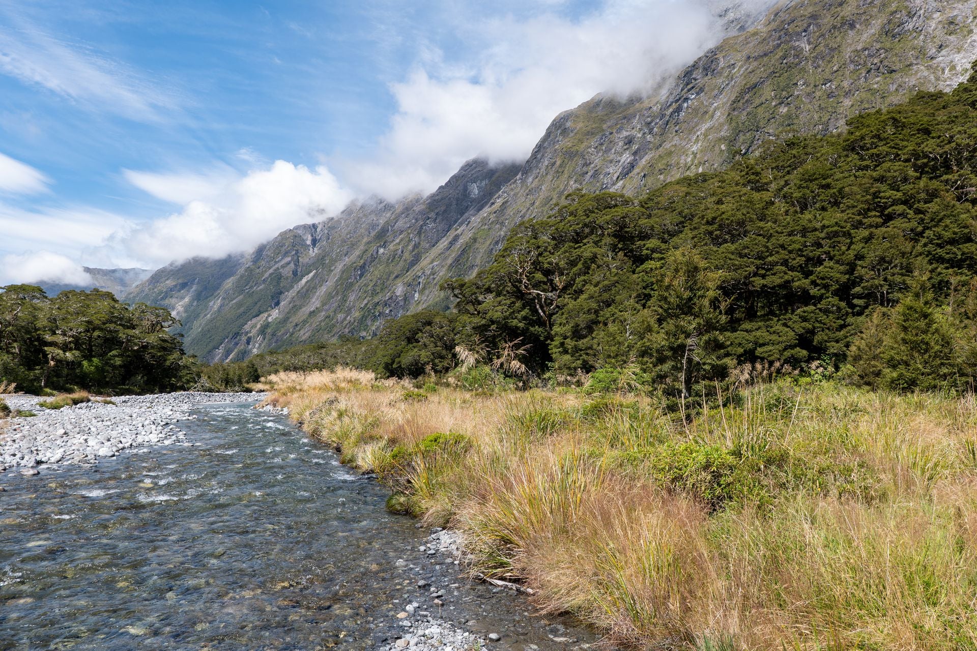
Fiordland is the wettest corner of the country, and the walking fits into its few fine days. The Milford Road from Te Anau runs for 120 km through the mountains to the sound, and the tracks off it are the shortest way into country that otherwise takes a Great Walk and a booking.
Key Summit is the Routeburn's free sample. From The Divide, the lowest pass over the Southern Alps at 532 m, the Routeburn Track climbs for an hour to a signed turn-off, and twenty minutes later you are on an alpine shelf of tarns and bog with the Hollyford valley a thousand metres below. Three hours return, an intermediate tramping track, no booking.
Lake Marian fills a hanging valley above the bushline, 3.1 km and an hour and a half up from the Hollyford Road, past a set of falls where the track turns from easy to advanced. In winter and spring the lake edge is avalanche ground, and DOC asks you not to walk round it then.
Gertrude Saddle is not a track at all. It is an expert route, 7 km return in 4 to 6 hours from a car park near the Homer Tunnel, with no permanent markers above the bush, steel cables on the slabs and creek crossings that fill in an hour of rain. Two walkers died near the waterfall in 2016 and 2017, and the sign at the bottom now says so. DOC's rule is short: if there is rain or snow, do not go.
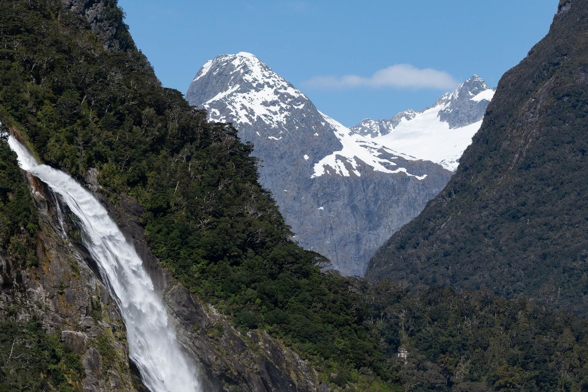
The Milford, Routeburn and Kepler start from the same base at Te Anau, and they are the Great Walks that sell out first. We do not arrange them. Ōkaka and Port Craig are the two lodges on the Hump Ridge, the Great Walk of the far south near Tuatapere and the newest of the eleven since October 2024: three days of about 20 km, the first up through coastal forest to the tors above the treeline, the second along the ridge and down to the shore, the third back beside the sea on the line of a 1920s timber tramway. It is the one we would book for Fiordland without the Milford lottery, with a pillow and a hot shower at the end of each day. We hold the Trust's lodge beds, book the motel in Tuatapere and the shuttle to the track, and time the last day for the low tide at Blowholes Beach. See the tour:
Coast and bays
The top of the South Island has the sunniest weather in the country and two coastal tracks walked from a boat as much as on foot. The water taxi drops you at the start of a day's walking and collects you at the end, so a long track becomes a string of days with a bed in each.
The Abel Tasman Coast Track is the Great Walk of beaches, 60 km from Mārahau to Wainui along the edge of New Zealand's smallest national park, with four huts, eighteen campsites and water taxis stopping at the main bays all year. The track is intermediate; the hard part is the tide. Awaroa Inlet is crossed only around low tide, inside a window that opens an hour and a half before it and shuts two hours after, in daylight, and with no track around the inlet the days are planned backwards from that one crossing. Kaiteriteri and Mārahau, an hour from Nelson, are where the boats load.
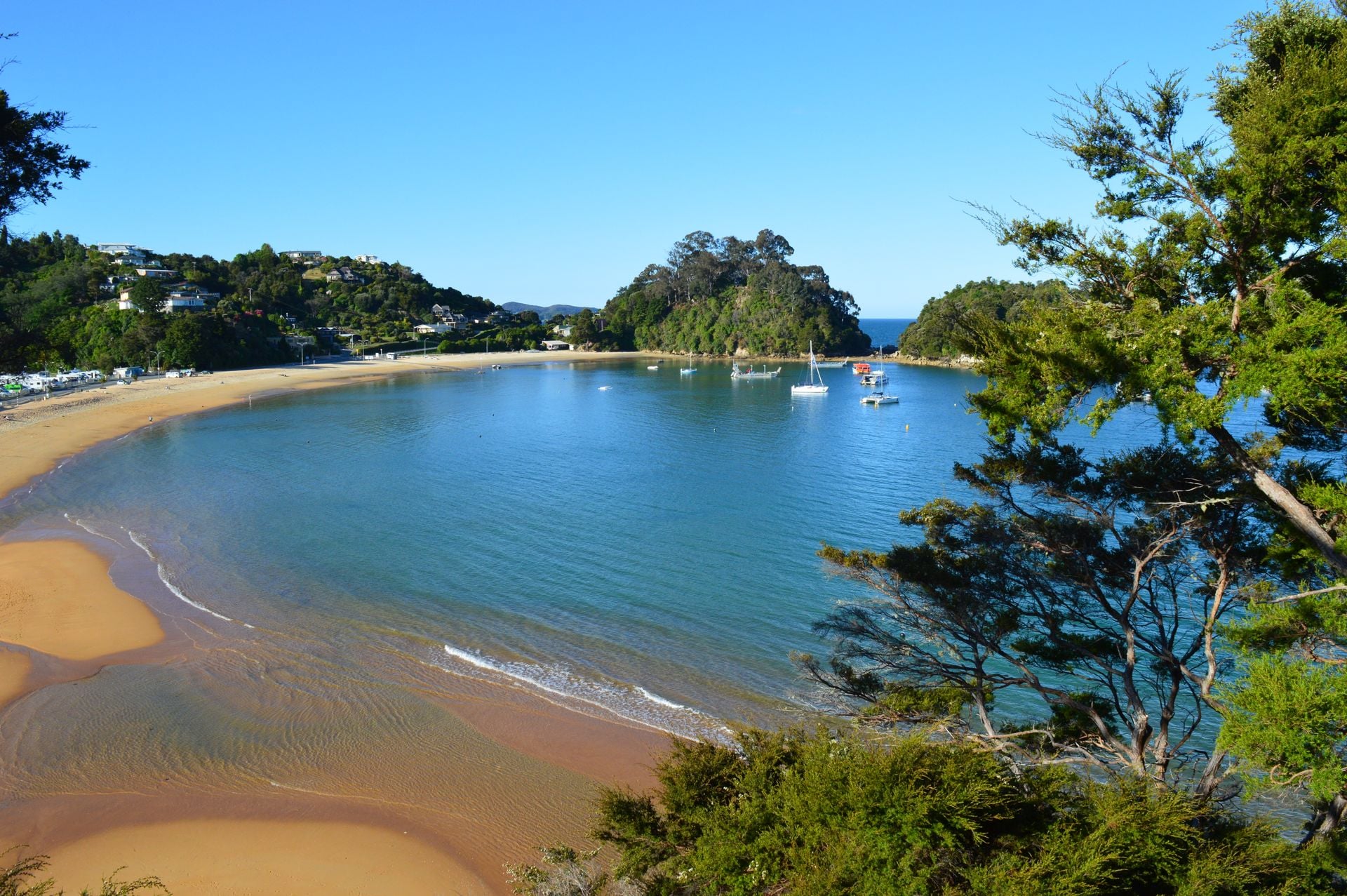
We fix the Awaroa day from the tide tables, book the lodge inside the park that no road reaches, and have a water taxi at the beach each morning so that you walk with a day pack. The park as a place, with its beaches, tides and kayaks, is a separate page, our guide to Abel Tasman National Park. Take a look at the walk:
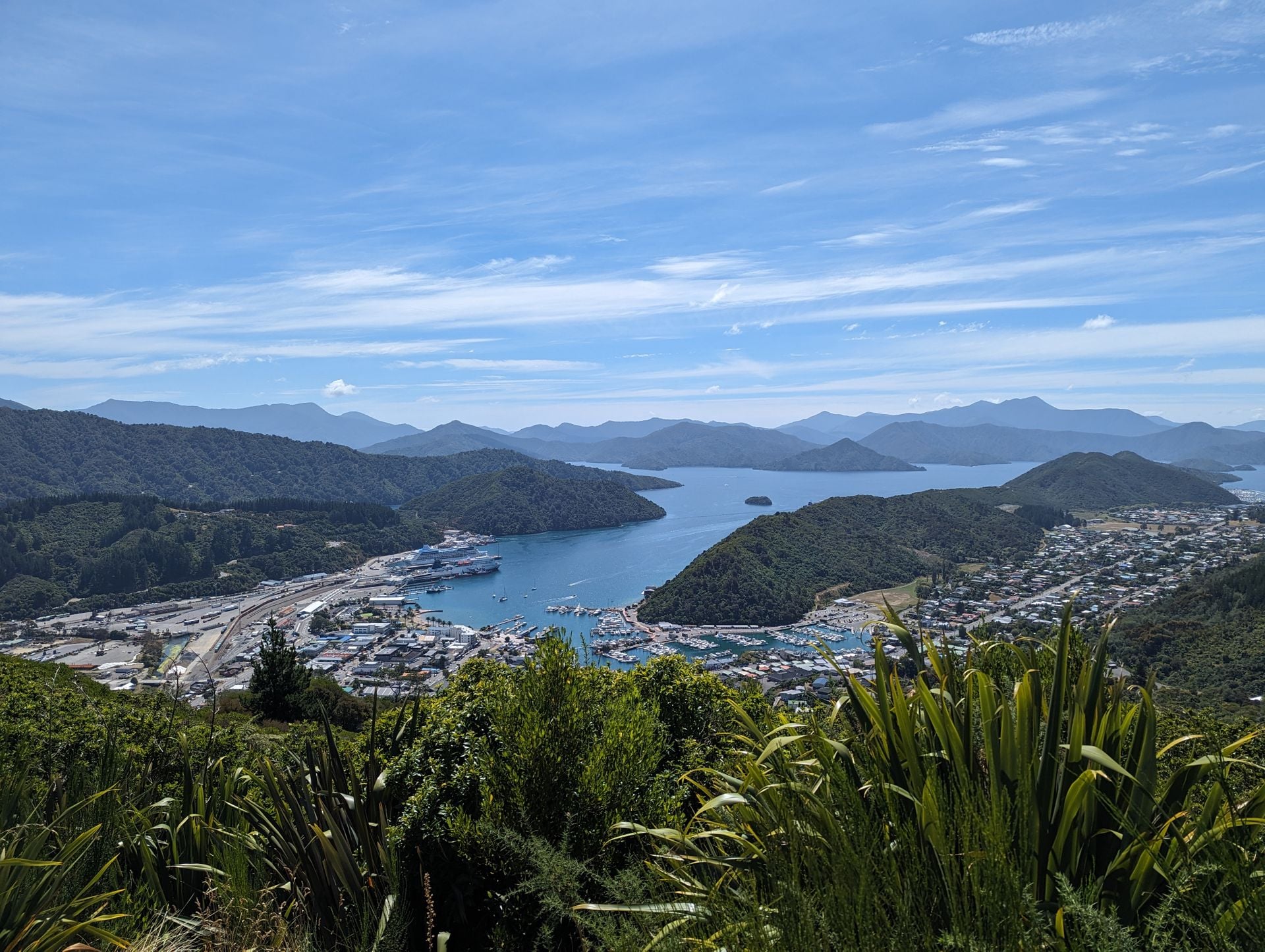
Next door, the Queen Charlotte has no Great Walk badge and the better lodges. It runs 73.5 km from Meretoto, where Captain Cook anchored for 170 days across his three voyages, to Anakiwa at the head of the sound, and the only way to the start is a boat from Picton. Private land lies along part of it, so walkers carry a Land Cooperative pass, and with no DOC huts the nights are in lodges at the bays, with the boats moving your pack between them. The clay is slippery in winter and the track can close in a drought for fire risk.
Lodge to lodge is how we would walk it for a first visit. We book the three lodges on the water, the Picton boat to Ship Cove, the bag transfers between them and a hotel night in Picton before the boat. Explore it here:
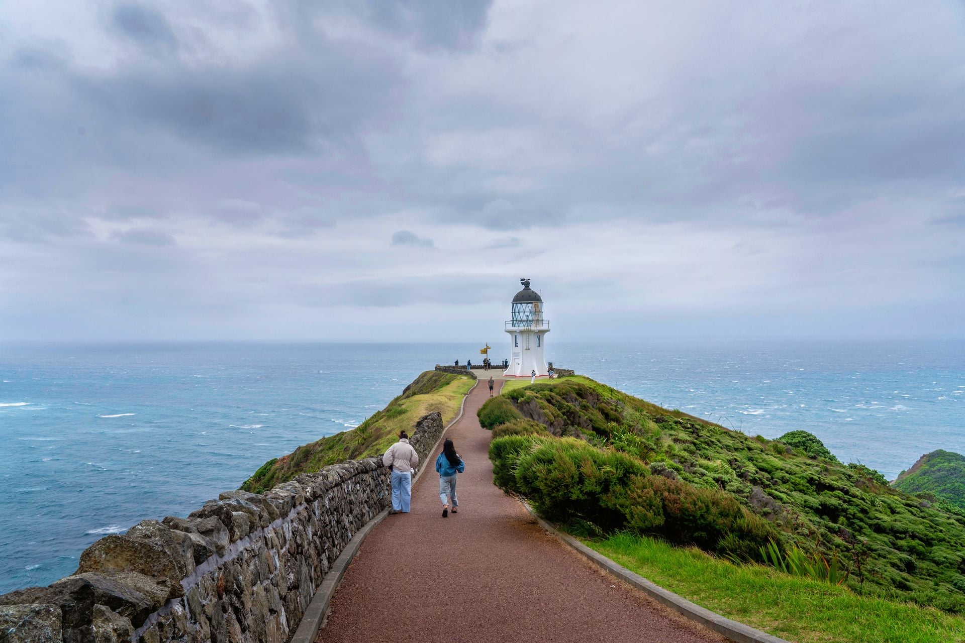
Northland is the coast most visitors never reach. Cape Brett is an 8-hour advanced tramping track from Oke Bay to a hut under a lighthouse first lit in 1910, 16.3 km of ridges with a tidal beach at the start and a $50 pass because the first 10 km cross Māori land. At the very top, the Te Paki Coastal Track, 48 km in four to five days, runs from Spirits Bay to the dunes at Te Paki Stream, past Cape Reinga, where the spirits of the dead leave the land down the root of an old pōhutukawa and DOC asks that nobody eats, camps or scatters ashes. It is the first stage of Te Araroa.
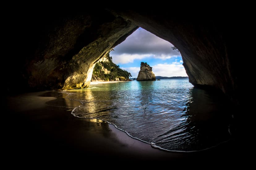
Cathedral Cove, on the Coromandel, is the shortest walk here and the one most likely to be shut: the 5 km track from Hahei reopened in December 2024 after two cyclones closed it for nearly two years, and DOC shuts it again whenever a heavy-rain warning covers Hahei. The Coromandel's other walk is the Pinnacles, 6 km and three hours up the Kauaeranga valley past the kauri dams of the logging days to an 80-bunk hut that books out on Saturdays, with a 40-minute scramble to the summit for dawn. We do not arrange the Northland or Coromandel walks; they fit a week on the North Island with a hire car.
Glacier valleys and the Southern Alps
Aoraki Mount Cook village sits at the end of a road under the highest mountain in the country. Three of the best short walks in the Alps start at the village, and the fourth, at Arthur's Pass, is the one that kills people.
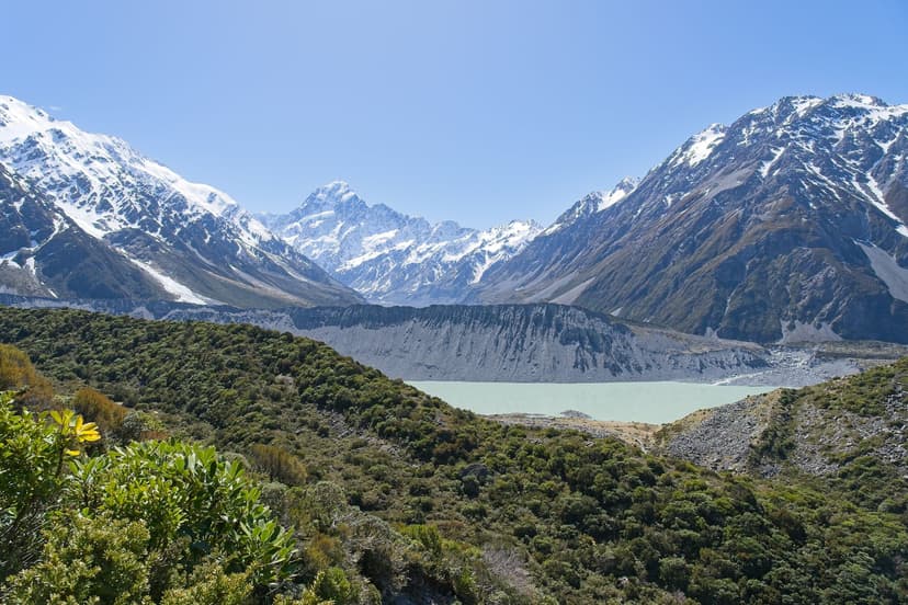
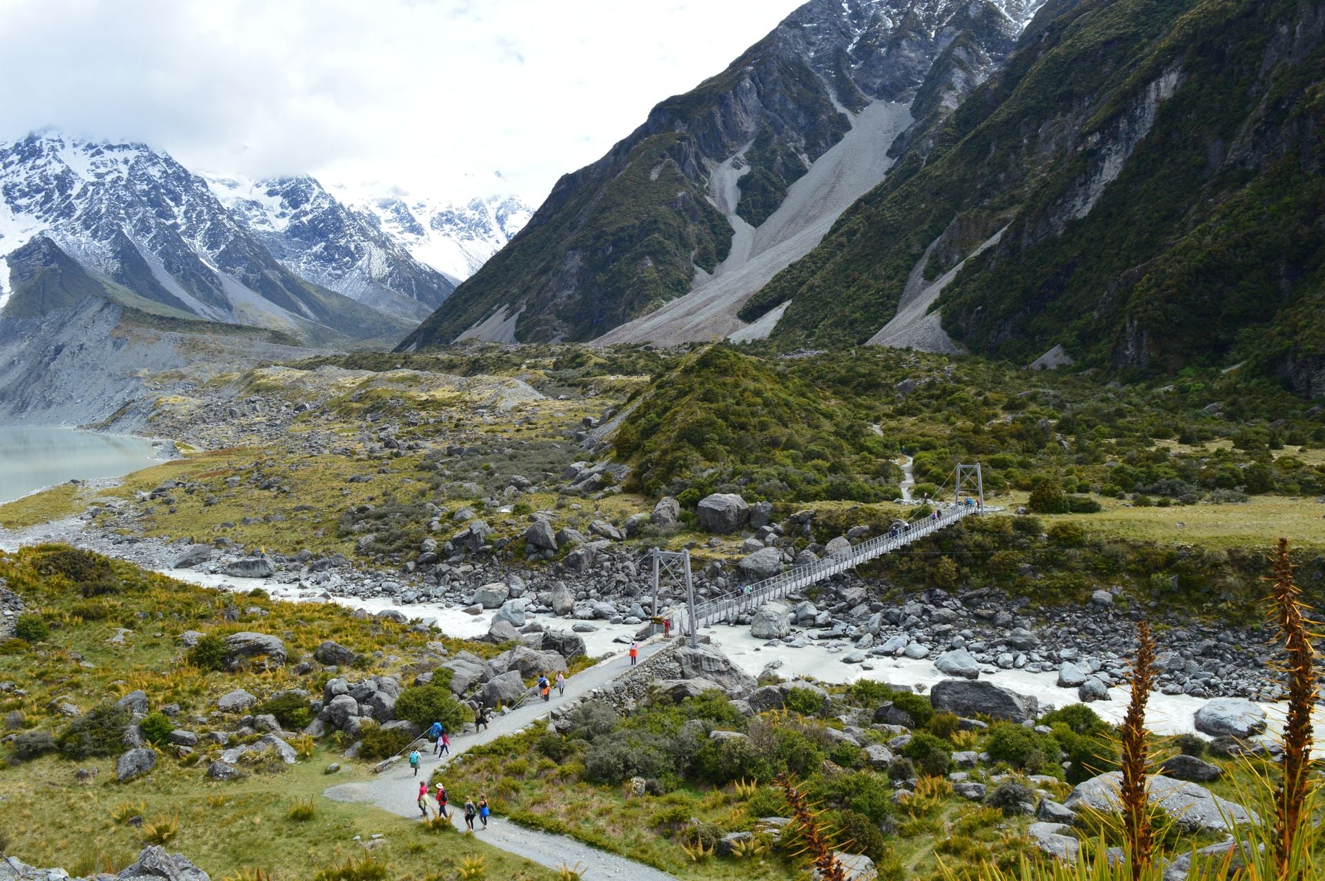
The Hooker Valley Track is the most walked path in the Alps, 10 km return in three hours over three swing bridges to Hooker Lake, where icebergs calve off the glacier in summer and the lake freezes in winter. It is an easy to intermediate walking track and the only hard thing about it is the queue: in July 2026 DOC opened a new 189 m second bridge, the longest suspension bridge in the country, and in September it limited the 47-year-old first bridge to 20 people at a time.
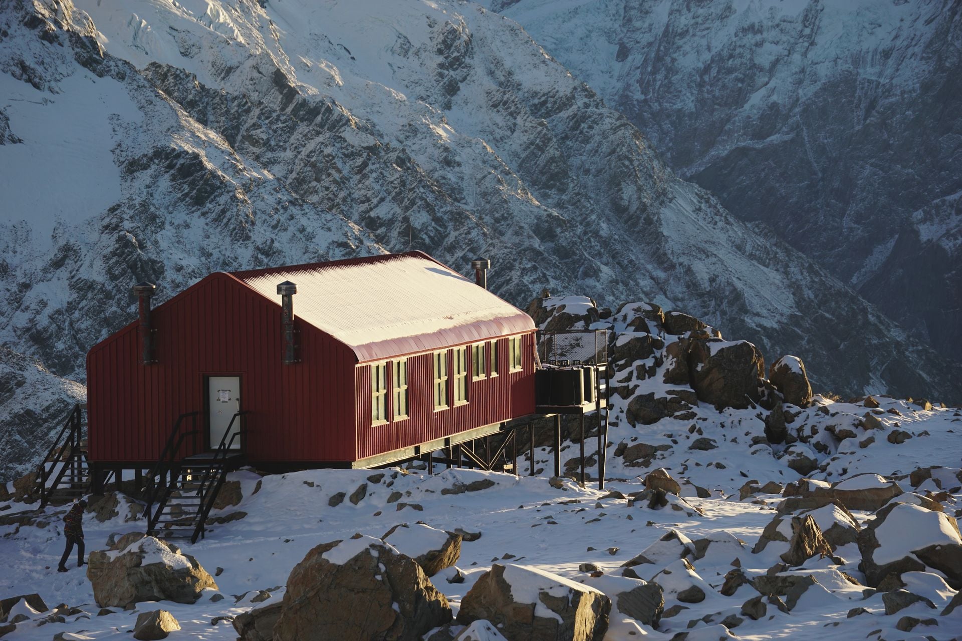
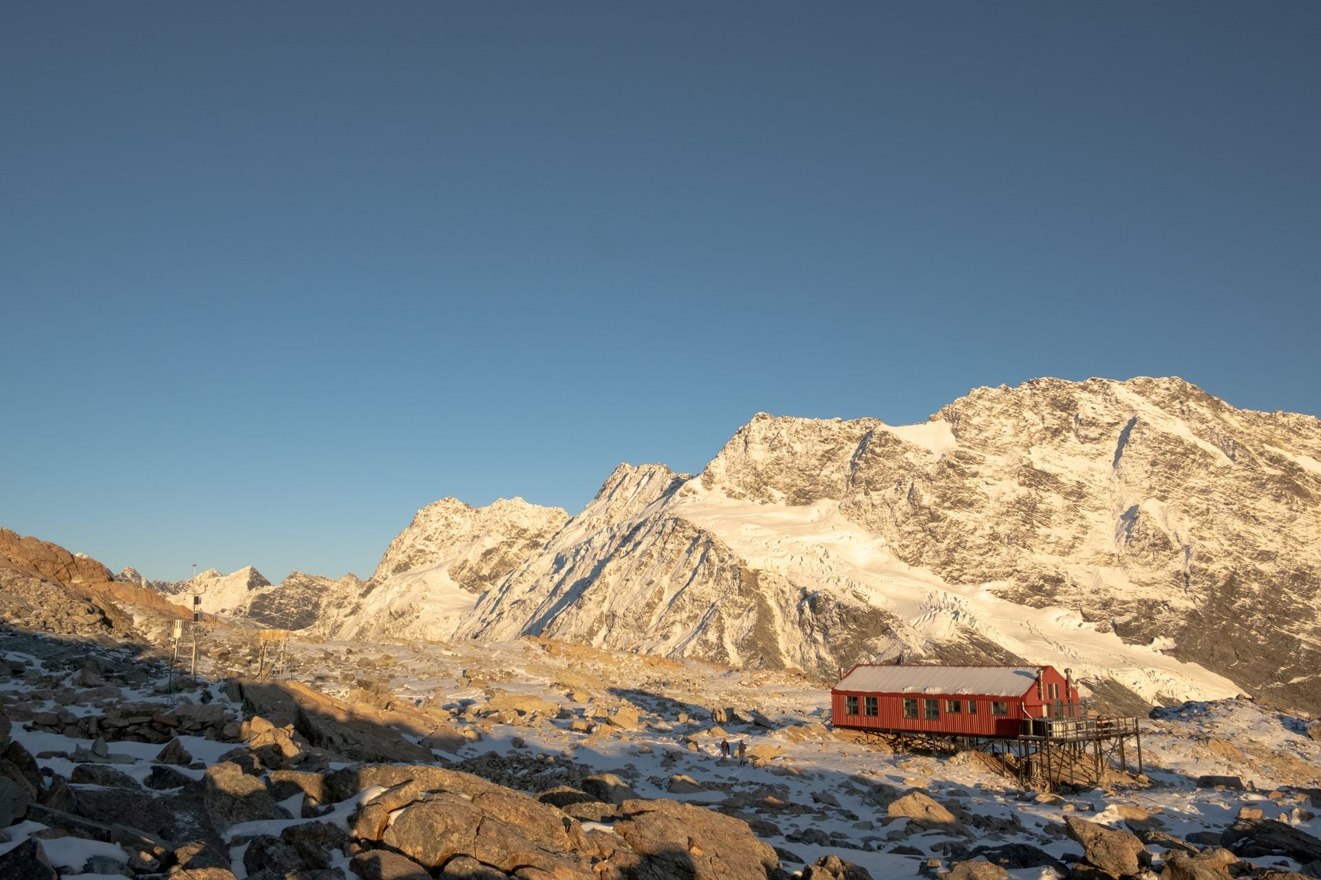
Mueller Hut is the night out that earns its name. From the village the route climbs 2,200 steps to the Sealy Tarns, 600 m above the road, then on over rock and snow to a 28-bunk hut at 1,850 m with the Mueller Glacier cracking below it. It is an advanced tramping track, four hours up, booked ahead in summer, with snow and ice from March to November and a visitor centre that expects you to sign in on the day.
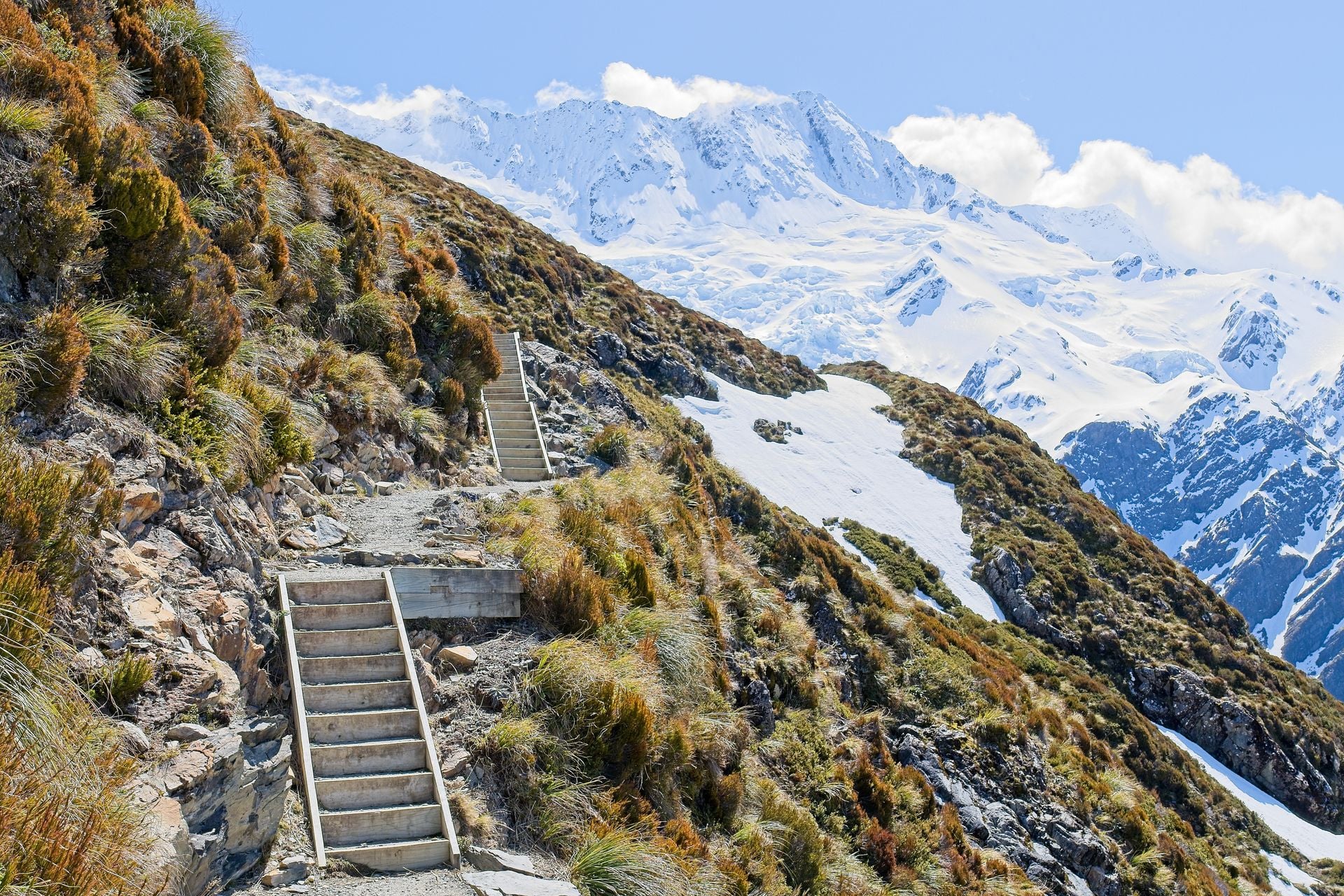
Rob Roy Glacier hangs in a side valley off the Matukituki, an hour and twenty minutes west of Wānaka with the last 30 km on gravel and creek fords that stop ordinary cars after rain. The track is 10 km return in three to four hours, easy to intermediate, up through beech to a lookout under the ice; from May to November avalanches cross the upper track and DOC asks you to stop at the lower lookout.
Avalanche Peak at Arthur's Pass is the summit for people who want one. The route gains 1,100 m in 2.5 km from the village to the top at 1,833 m, advanced to the bushline and an expert route above it, and the first line of DOC's page is that people have died on it. The easy one at Arthur's Pass is the Devil's Punchbowl, 2 km return in an hour to a waterfall you hear before you see. None of these are on our tours, and the Aoraki Mount Cook ones are the easiest in the country to do on your own.
Lakes and tussock
Otago is dry, brown and high. The lakes are long, the hills above them are tussock to the summit, the views are open from the first step and there is no shade from the second. The two famous summits here are also the two with closures, because the tracks cross working farms.
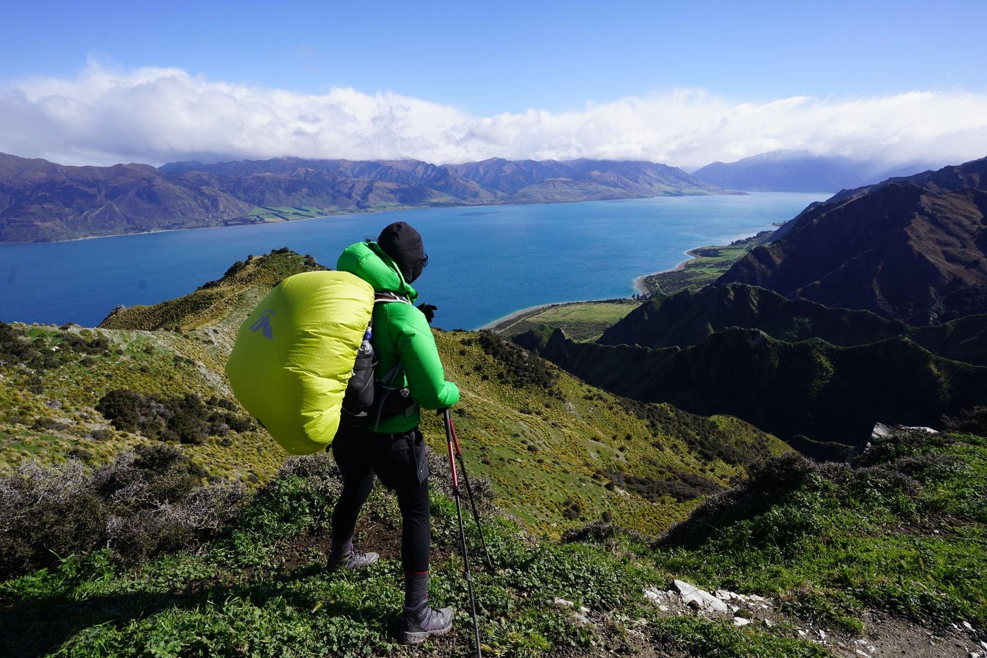
Roys Peak is the photograph everyone has seen, the ridge above Lake Wānaka with the snow mountains behind. It is 16 km return and more than 1,200 m up from a car park 6 km out of Wānaka, five to six hours on a walking track that is really a farm road, with the viewpoint half an hour below the 1,578 m summit. It is closed for lambing from 1 October to 10 November every year, and the crowd starts before dawn.
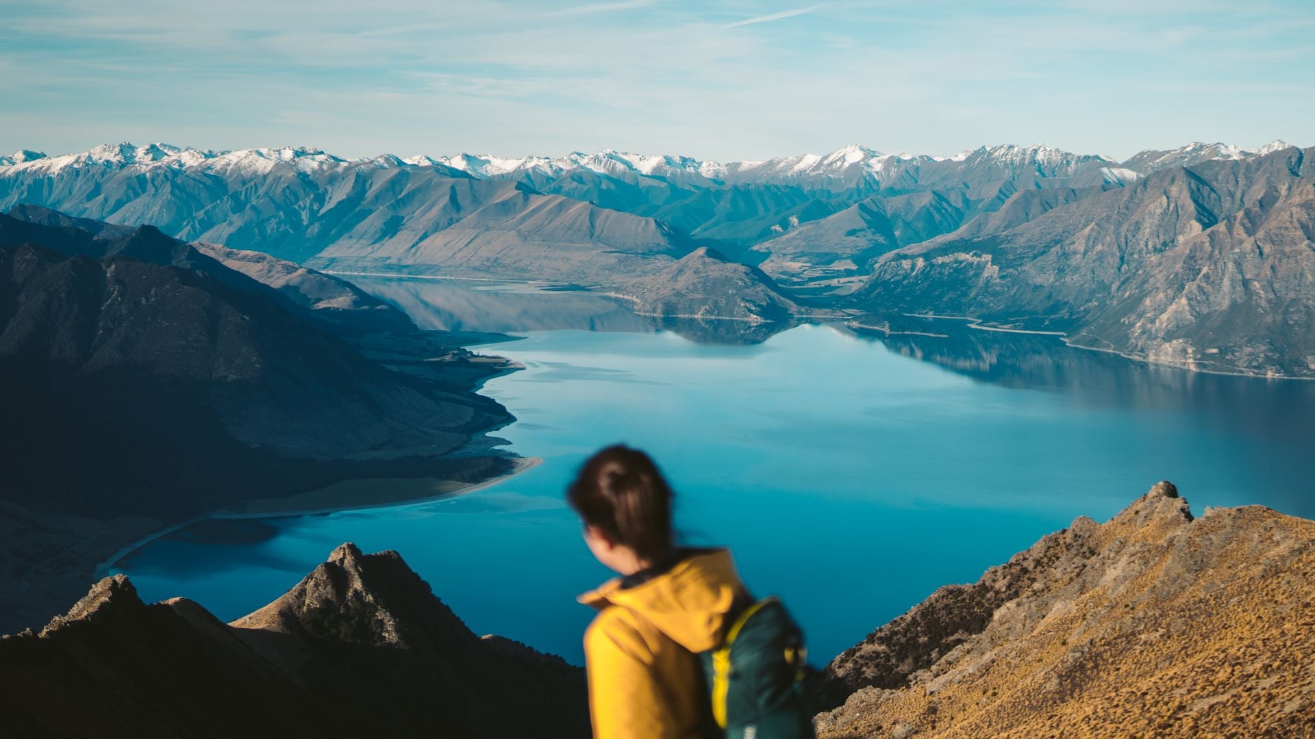
Ben Lomond is Queenstown's summit, 1,748 m, and the honest way up is from the town: the Tiki Trail from behind the gondola base, the saddle at 1,326 m, then the summit ridge over private land, 1,438 m of climbing in six to eight hours return. The gondola cuts the first hour.
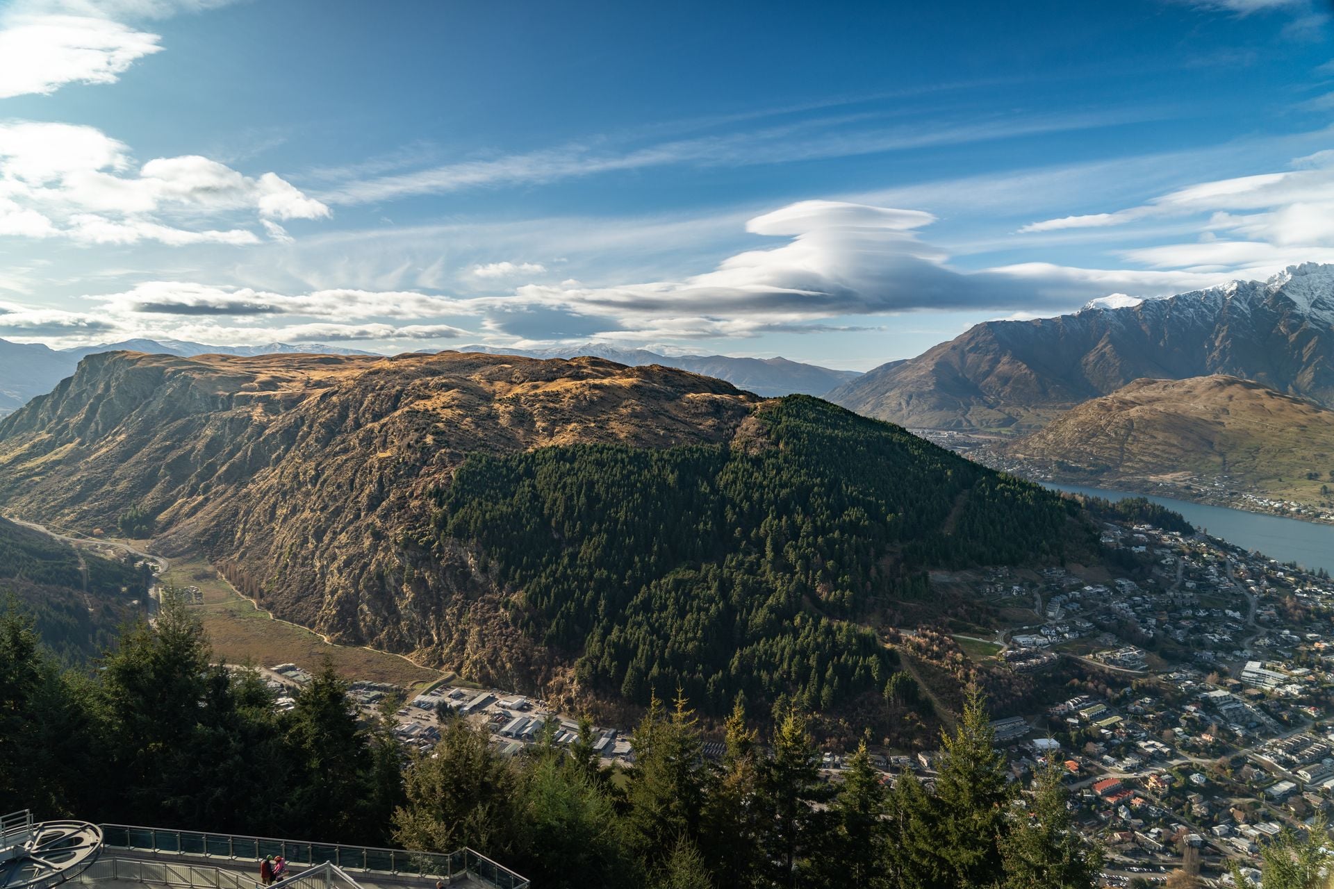
Isthmus Peak is where DOC sends people when Roys Peak is shut, between Lake Hāwea and Lake Wānaka, 16 km return with about 1,000 m of climbing in five to seven hours and not a drop of water on the track. Its own closure is for fawning, 20 November to 20 December.
Mount Robert is the lake walk of the top of the island, in Nelson Lakes National Park above Lake Rotoiti, about an hour and a half from Nelson: a loop of about 9 km and four to five hours, up the Pinchgut Track to the bushline and down Paddy's Track, with the whole lake below and snow on the tops in winter. We do not arrange any of these four; a hire car from Queenstown or Nelson reaches them inside two hours.
Forest and river
The West Coast gets the rain Otago does not, and the result is rainforest to the shore: tree ferns, moss on everything and rivers the colour of glass. Northland has the other great forest, the kauri, with its own rule for walking in it.
The Old Ghost Road is the long walk of the coast, 85 km from the ghost town of Lyell to Seddonville on the Mokihinui River, four to five days on foot through the Lyell range to a hut at 1,200 m and down a river gorge. The huts are the Mokihinui-Lyell Backcountry Trust's, booked ahead, and mountain bikes share the track.
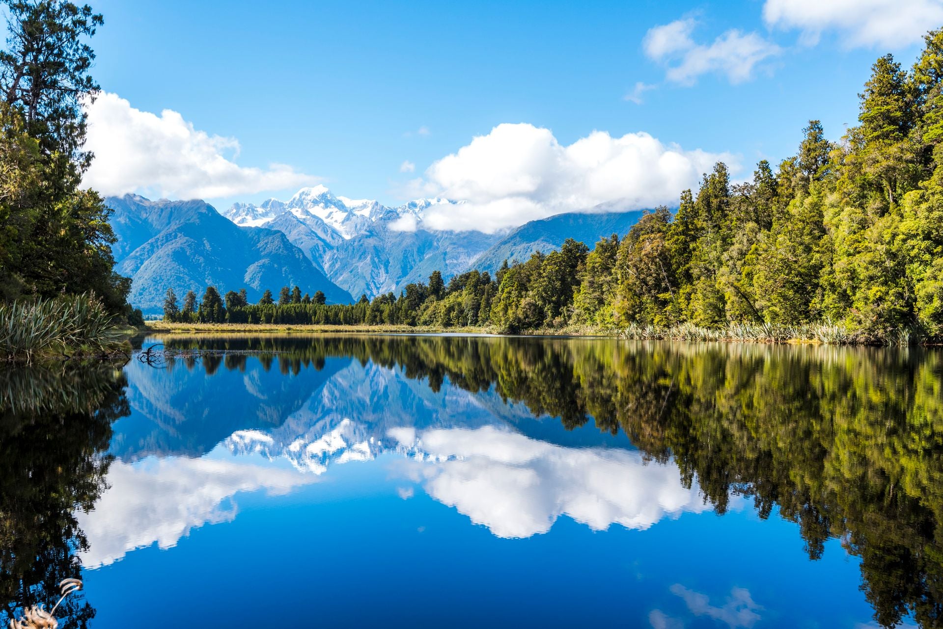
Lake Matheson is the reflection on the postcards, a 4.4 km loop near Fox Glacier through forest to a lake so dark with tannin that Aoraki and Mount Tasman stand upside down in it on a still dawn. An hour and a half round, easy to intermediate, and the reflection needs no wind, which means early.
At Punakaiki the Pororari River Track follows a limestone gorge under nikau palms, 7 km return, and doubles as the last stretch of the Paparoa Track, the Great Walk built in memory of the 29 men killed at Pike River in 2010. In the far north, Tāne Mahuta is a five-minute walk and a 51 m tree, the largest living kauri, with a trunk 13.77 m round that was already old when the first canoes arrived. Kauri dieback, a soil disease, has been found within 60 m of it, so the walk has a shoe wash at each end that is not optional. None of these are on our tours; the West Coast is a road trip, and we say so.
Places worth the detour
Five places that are worth a night off the walking, none of them on our tour pages, which is the point. They are the detours.
How many days?
New Zealand is two islands and 1,600 km long, and the hikes in this guide are spread along the whole of it. The number of days decides which landscapes you get, more than fitness or budget does.
One week: one coast. Fly into Nelson, walk the Abel Tasman lodge to lodge, add two days in the Sounds and fly out again.
Ten days: both coasts of the top of the South Island. The Abel Tasman first, then a road day through Nelson to Picton and the Queen Charlotte from Ship Cove, so that every walking day starts from a boat.
Two to three weeks: north to south. The Crossing from Taupō, the ferry to Picton and a coastal track, then Aoraki Mount Cook and the Otago lakes, finishing in Fiordland.
With ten days, the two tracks together are the trip we would build, and we arrange it end to end: the beaches and the tide first, then the saddles above the sound, the Nelson to Picton road day in between and bags carried by boat on both. Explore both walks in one:
If the Great Walk you wanted is booked out
Demand for the Great Walks now outruns the huts. The Milford sold out in 34 minutes on its booking day in May 2026, and last summer the Milford and Abel Tasman huts ran at about 95 percent full. A trip planned after May starts from the huts that are left, so these are the swaps that keep the landscape and skip the lottery.
Milford or Routeburn full: walk the Hump Ridge. The same Fiordland, two lodges with hot showers instead of DOC huts, booked with the Trust up to two years ahead, with a day on the Milford Road for Key Summit and Lake Marian on the way down.
Kepler full: take the alpine shelf by the day. Key Summit is the Routeburn's free sample, three hours from The Divide, and the Kepler's lakeside first hours from the Te Anau control gates need no hut at all.
Abel Tasman huts full: sleep in the lodge and the B&Bs. The park has four huts and they fill first; the lodge at Awaroa and the beds at Mārahau are booked separately, and the water taxi joins the days between them, which is how our Abel Tasman walk runs all season.
Tongariro Northern Circuit full: the Crossing is its best day, walked with a shuttle, and the circuit's new Oturere Hut takes bookings from 18 December 2026.
The Queen Charlotte needs no DOC booking at all. No huts, three lodges and a landowners' pass, so it is the fallback that still feels like a Great Walk, with the boats carrying the bags from Picton onwards.
Dates that shape a trip
A few dates move beds and boats more than the weather does, and most are fixed years ahead.
When | What | What it means for you |
Mid-May 2027, expected | Great Walks bookings open for 2027/28 | DOC announces the dates in March; in 2026 the Milford sold out in 34 minutes from 9:30 am, so be at the screen |
23 October 2026 to 17 April 2027 | Hump Ridge Track season | The lodges shut outside it; the Trust takes bookings up to two years ahead |
1 November 2026 to 30 April 2027 | Milford and Routeburn Great Walks season | Outside it the huts have no gas, no wardens and no bookings, and the tracks are avalanche country |
Mid-December to late January | School summer holidays | The Abel Tasman and the Sounds at their fullest; water taxis and lodges book out |
26 to 29 March 2027 | Easter | A four-day weekend that fills every lodge in the country |
Not in 2027 | Marlborough Wine and Food Festival | Put on hold in August 2026, so Blenheim's February beds are easier than usual |
Matariki, the winter public holiday, falls on 25 June 2027, outside the walking season. May is the month that decides a New Zealand hiking trip, because the Great Walks huts, the lodges and the summer flights all open at once.
Pack for the sandfly and the snow
Pack as you would for any week of self-guided walking, then add what the landscape asks for. The hazard changes with the ground, so the list runs by region.
Fiordland and the West Coast. Rain on most days and sandflies at every stop. Add a tested waterproof jacket and overtrousers, repellent with DEET or picaridin, and long sleeves for dusk.
The volcanoes and the Alps. Snow in any month, and the Crossing can turn from shirtsleeves to sleet in an afternoon; the Mountain Safety Council found a missing warm layer or jacket behind 13 percent of tramping rescues. Add a warm layer, hat and gloves even in January, and microspikes for the shaded ice on the Hooker Valley Track from May to September.
The Otago lakes. No water on the summit tracks and a UV index about 40 percent above the same latitude in the north, with the Cancer Society's protection rule in force every day from October to March. Add two litres of water a person, a hat, sleeves and SPF 30 or more.
The coastal tracks. One tidal crossing with no way round, a swim at the end of most days, and wasps in late summer. Add the Awaroa tide table, swimming gear and antihistamines if you react to stings, which DOC itself advises for the Abel Tasman and the Routeburn.
Any hut night. Gas cookers only in the Great Walks season, no power, no shower, and tank water with a boil notice. Add a stove, a head torch, a mattress liner and a filter, or three minutes on the boil, because giardia lives in some catchments.
Any walk out of signal. Most tracks have none. Add a personal locator beacon, hired from the DOC visitor centres at Aoraki Mount Cook, Arthur's Pass and Tongariro or from Macpac shops at $15 a day.
Leave at home the tent, on a lodge walk, and most of the cash, because cards work in every town.
Rules of the track
New Zealand grades every track and expects you to read the grade. Our own scale sits beside it: every walk we arrange carries a fitness level and a technical level, and our hiking difficulty guide explains both. Beyond the grade, the rules are few, and most of them come from one short code that DOC and the Mountain Safety Council print on every sign.
Choose the right trip for you. Learn about the route and make sure you have the skills for it.
Understand the weather. It can change fast; check the forecast and change your plans if needed.
Pack warm clothes and extra food. Prepare for bad weather and an unexpected night out.
Share your plans and take ways to get help. Tell a trusted person your trip and carry a distress beacon.
Take care of yourself and each other. Eat, drink and rest, stick with your group and decide together.
That is the Land Safety Code, launched in 2020 by the Mountain Safety Council with DOC and the police. The fourth point is the one that saves lives: leave your route and a return time with someone who will call 111 if you are late, on DOC's intentions form or in a message.
Beyond the code, the rules that matter on the ground:
If in doubt, stay out is DOC's rule for rivers. The four signs of a river you do not cross are fast, murky, messy with debris and loud; wait for it to drop, turn back or find another way.
Hut nights are paid for with tickets or a pass, and the pass is not valid in a Great Walk hut in season, where every bunk is booked on its own.
Clean your boots at every kauri station, going in and coming out. Kauri dieback travels in the soil on footwear, there is no cure, and skipping a station in Northland, on the Coromandel or on Great Barrier Island can bring a fine.
No dogs on conservation land, not even in the car at Tongariro, and no drone without a DOC permit, which a national park does not give automatically.
Freedom camping needs a green warrant from June 2026, the self-containment card that a fixed toilet earns and a portable one does not, and it is generally not allowed near the Great Walks; fines run from $200 to $800.
The emergency number is 111. Every beacon activation is answered by the Rescue Coordination Centre, and the beacon must be registered, which is free.
The beds and the boats are where the planning time goes, and that is the part we have done many times over: we work directly with the lodges on both coasts, the Hump Ridge Trust, the water-taxi and track-boat companies and DOC's booking system, so the nights, the bag transfers and the passes are in place before you land and the only decision left is the month.
The hut book and the billy
Every DOC hut has a book inside the door, and the hut book is the country's oldest safety system: you write your name, where you came from and where you are going, even for a lunch stop, and a search starts from the last entry. The rest of hut life is the code DOC prints on the wall: sweep the floor, replace the wood you burned, go easy on the gas, make room for whoever arrives late, and carry out everything you carried in.
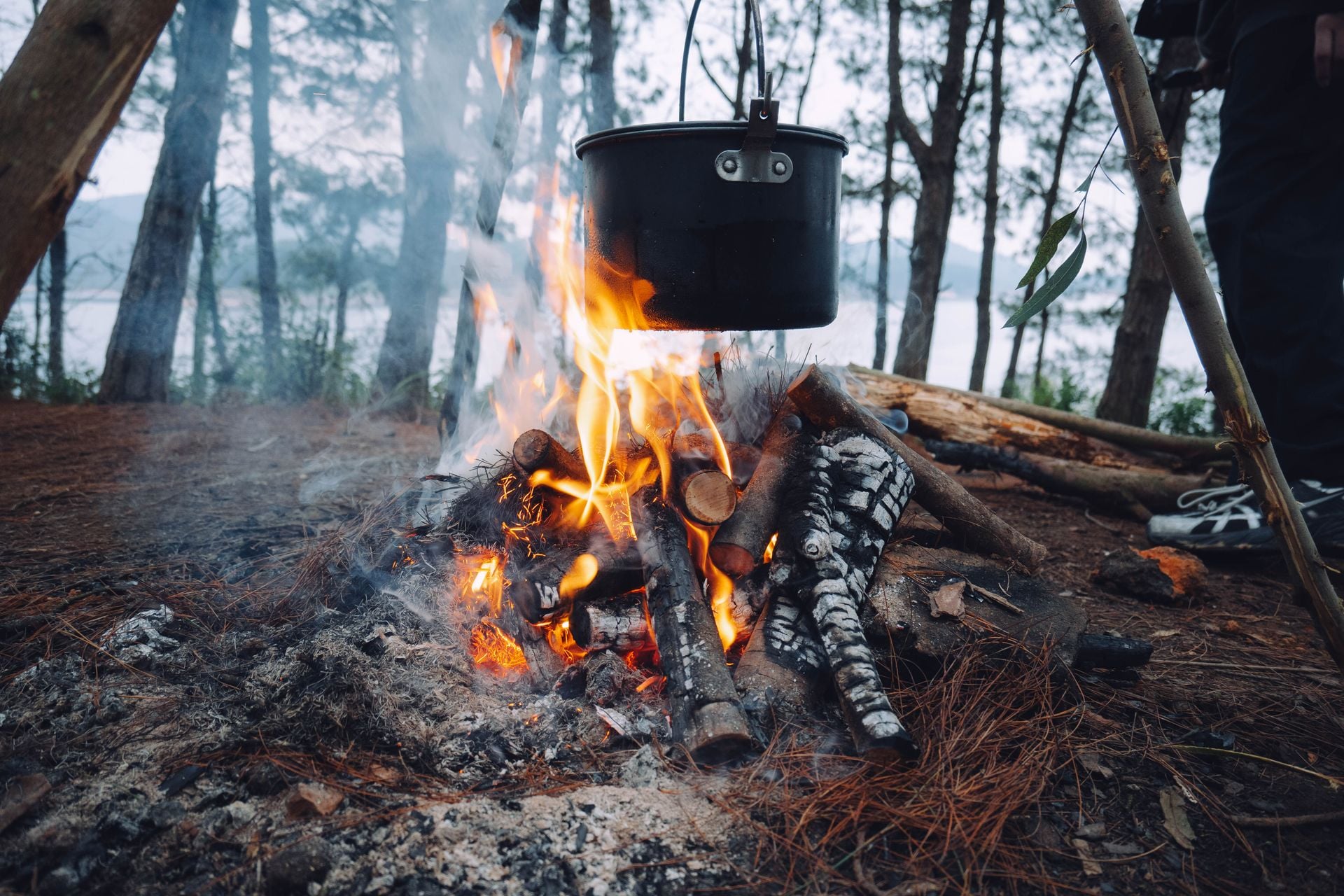
The billy is the tin pot that boils over the fire, and the tracks were cut by the people who carried it: the Old Ghost Road follows a miners' road that was never finished, and the Queen Charlotte links farms that still own the land it crosses.
Te Araroa is the thread that ties the whole country together, a 3,000 km trail from Cape Reinga to Bluff, finished in 2011, that now carries about 2,000 walkers a season end to end, four to six months of walking, most of them heading south from October. The Te Paki coast and the Queen Charlotte are stages of it.
The last thing to know is that the mountains belong to somebody. Tongariro was a gift: in 1887 the ariki Horonuku Te Heuheu Tūkino IV gave the three volcanic summits to the nation so that they could never be sold, and in 1894 they became the country's first national park. The summits are tapu, the iwi ask that nobody climbs them, and the lakes on the Crossing are not for touching.
Getting there and around
Auckland is the hub, but the walks start from the smaller airports. Air New Zealand flies from Auckland to Nelson in about an hour and 25 minutes, up to nine times a day; Invercargill, the airport for the Hump Ridge, is two hours from Auckland or an hour and 25 from Christchurch. Queenstown, with its own international flights, is the door to the Otago lakes and Fiordland.
Nelson to Mārahau, 67 km and an hour and a half, by shuttle or hire car.
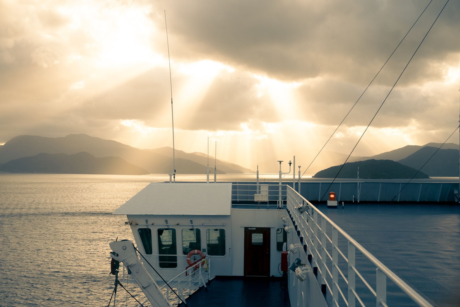
Picton to the Queen Charlotte, by boat only. The track boats leave the Picton wharf at 8:00 and 9:30 in the morning and take about an hour and a half to Ship Cove; from Nelson, the road to Picton is two hours.
Invercargill to Tuatapere, about an hour and a quarter, and the Trust's office in town is a compulsory check-in before the road end at Rarakau, 30 minutes further on gravel.
Tongariro by shuttle from National Park village or Tūrangi, around $70 return from the village, booked together with the free DOC track booking; the shuttles stop for the winter.
InterCity coaches join the rest, and a hire car does the West Coast and the Otago lakes.
The Cook Strait ferry is the one leg to book early. Interislander and Bluebridge each sail a few times a day between Wellington and Picton, 3 hours 30 minutes across, and the summer sailings fill with cars and campervans; the Interislander timetable has the departures.
Entry is two online forms. The NZeTA and the visitor levy are paid together before the flight, and a UK, EU, US or Canadian passport pays nothing at the border; buy it only on the NZeTA page. New Zealand drives on the left, a home licence works for the first twelve months, and Christchurch to Queenstown is 484 km and six hours.
Plan your New Zealand hike
Tell us the month you can travel and whether you want the volcano, the beaches or the fiord, and one of our agents will come back with a route that fits the season, the lodges held and the boats timed to the tide. Write to us through the inquiry form. Or book a call and talk it through first.
Frequently Asked Questions



Plan with a hiking expert
Free advice from a team that knows these routes inside out - real people, not a bot

HASSLE-FREE
We handle itineraries, accommodations, and anything else you prefer not to deal with, so you can enjoy a carefree hike.

BOOK WITH CONFIDENCE
We are a financially protected company, fully bonded and insured, keeping your money safe and allowing you to travel with confidence.

TRIED & TESTED ADVENTURES
We picked each walk only after checking it stage by stage, from the boat timetables to the lodge at each stop.

SUPPORT ON THE TRACK
Our support number is in the guidebook we give you, for a missed boat or a change of plan. In an emergency, dial 111, free from any phone.